Pipeline positioning
Specifying Sonardyne hybrid acoustic inertial technologies to support your pipeline installation offers the lowest risk solution encompassing the best performing technology, free consultative help and a 24/7 global support network that directly contributes to the success of your project.

What our tech can do for you
Inventory
Achieve more with less equipment on the seabed
QC
Install, touchdown and inspect your pipelines with absolute confidence
15 mm
The accuracy that can be achieved with our LBL subsea transponders
USV
Support your move to safer, green, cheaper construction operations
Positioning challenges
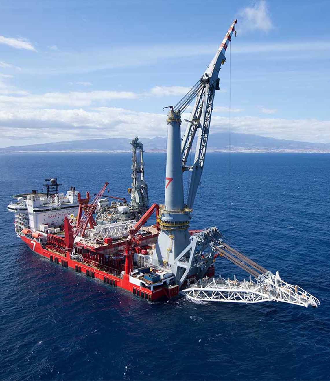
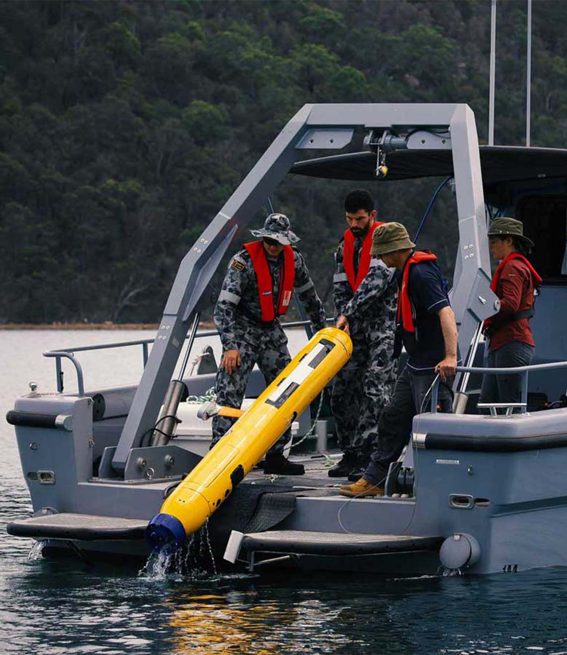
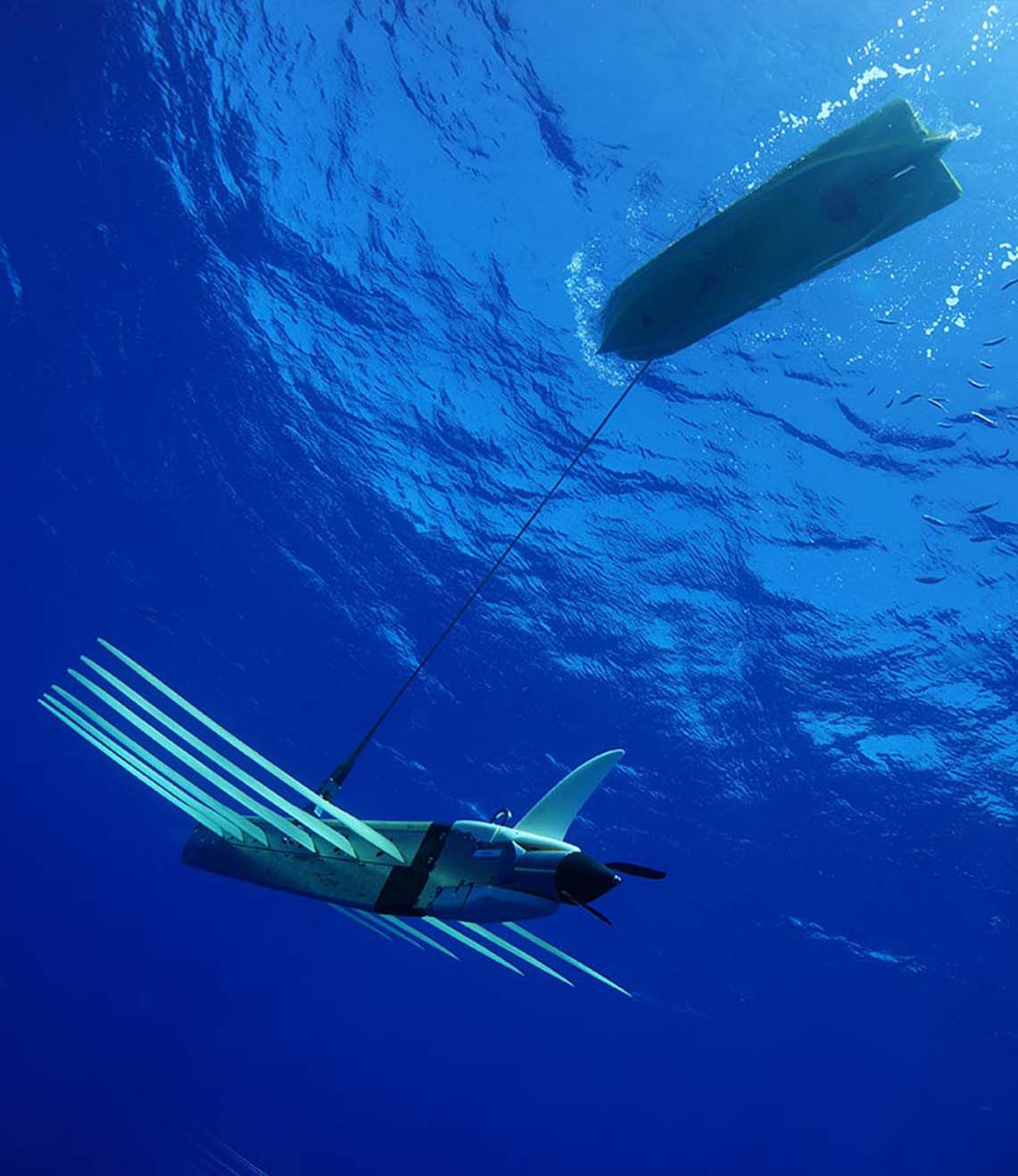
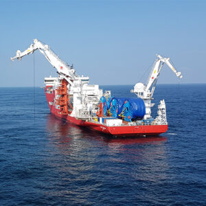
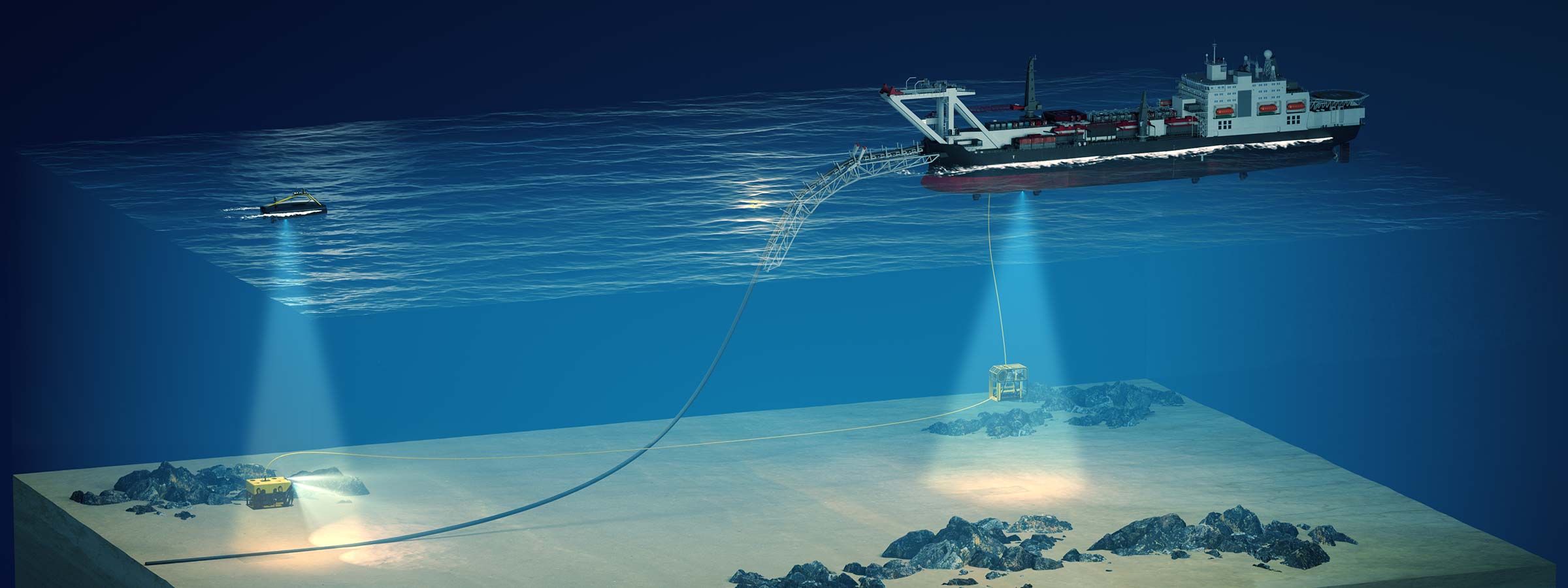
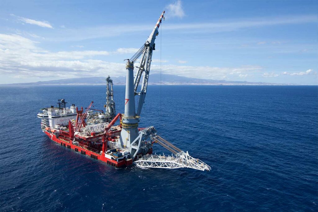
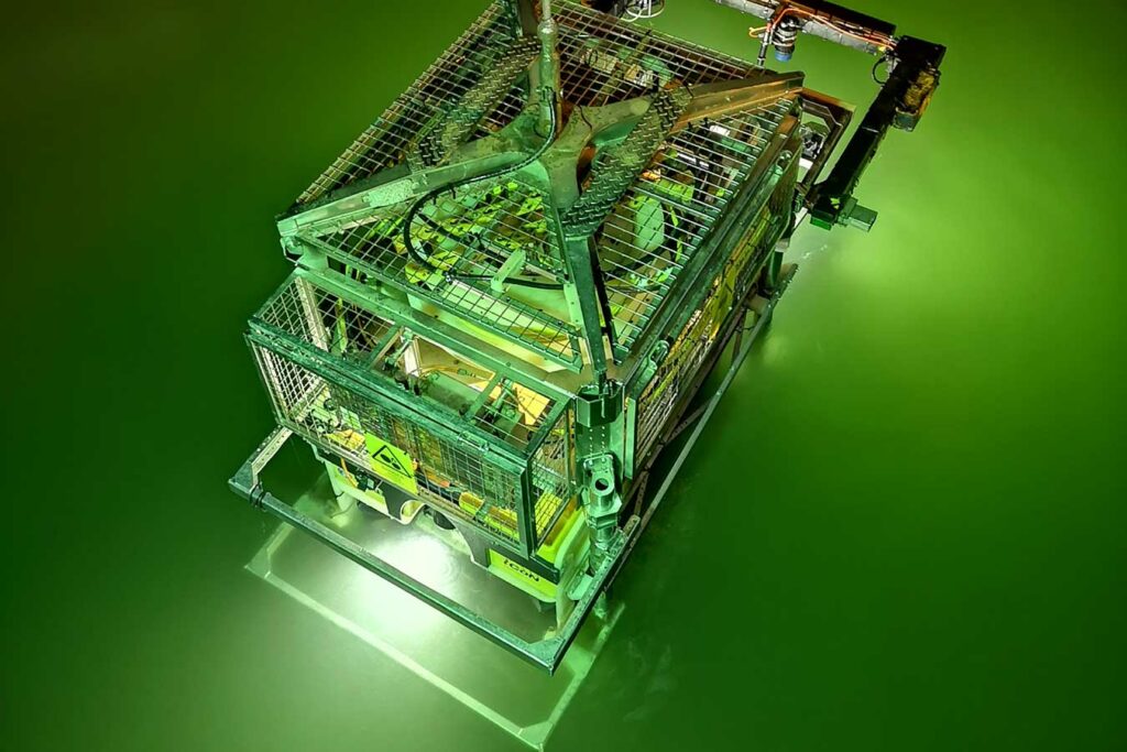
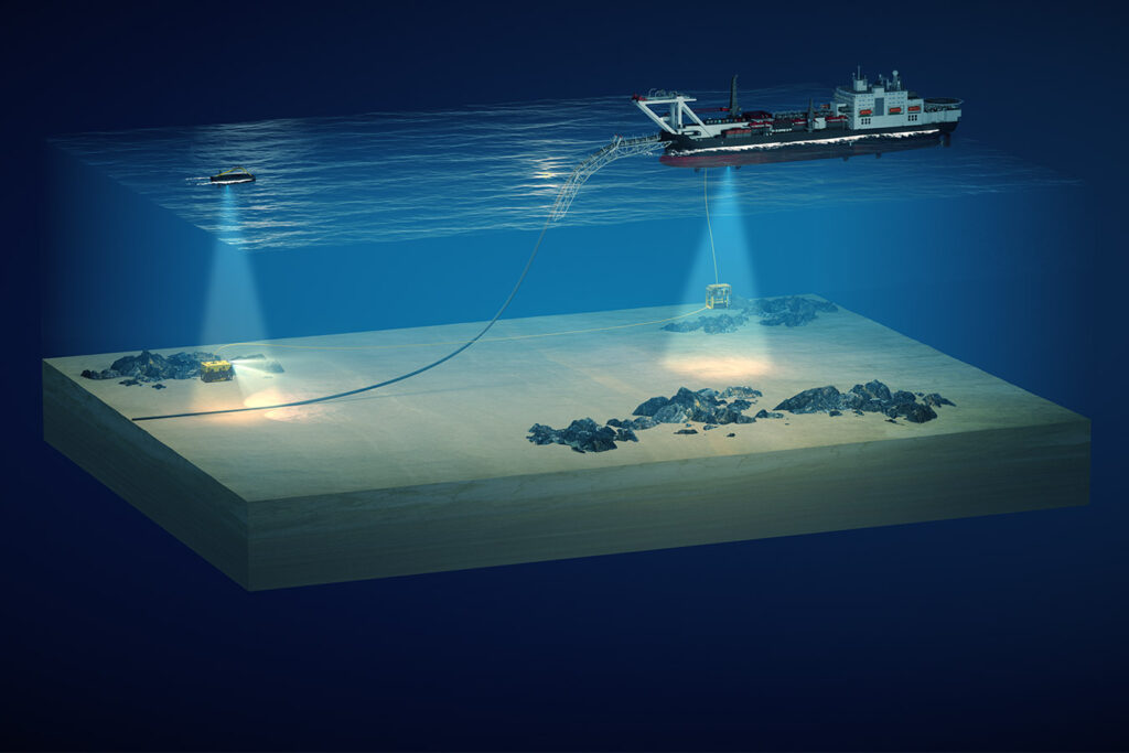
Pipeline operations encompass a large proportion of a field development including pre-lay bathymetric surveys of new fields using towfish or AUV/ROV systems; the installation of pipelines, umbilicals and jumpers and their associated tasks such as trenching and rock dumping using dedicated pipelay and construction vessels; and then culminating with survey and inspection of the assets often from dedicated survey vessels, ROVs and AUVs.
The positional requirement for each of these operations varies. For example, the initial start-up location and eventual end position of a pipeline being installed requires more accurate positing than that of the general pipeline route. However, there may be obstacles to avoid along the route or in-line structures to be installed which then require different positioning accuracy to the rest of the pipeline. As such, a single positioning technique is not always appropriate to all operations.
Life of field
Pipeline positioning take place throughout a field development from early pre-lay surveys, through installation of various pipelines as and when required, ending up metrology operations to tie it all together. This means vessels and vehicles that will work in the field will arrive at different times throughout the life of the field. The preference is to allow these vessels and vehicles to navigate in field with positional accuracy that can be scalable for the particular task they are undertaking. Therefore it is necessity to select a system that can be easily scaled. For example, the lowest accuracy activities may enable the use of a vessel fitted USBL/SSBL/HPR system to acoustically track a towfish, ROV or AUV. If higher accuracy is required, these vessel systems can be optimised by installing high grade attitude (AHRS) sensors. Precision can be improved with the addition of a subsea INS. And for the ultimate in accuracy and precision, subsea LBL and / or sparse range aided INS can be used.
High Accuracy
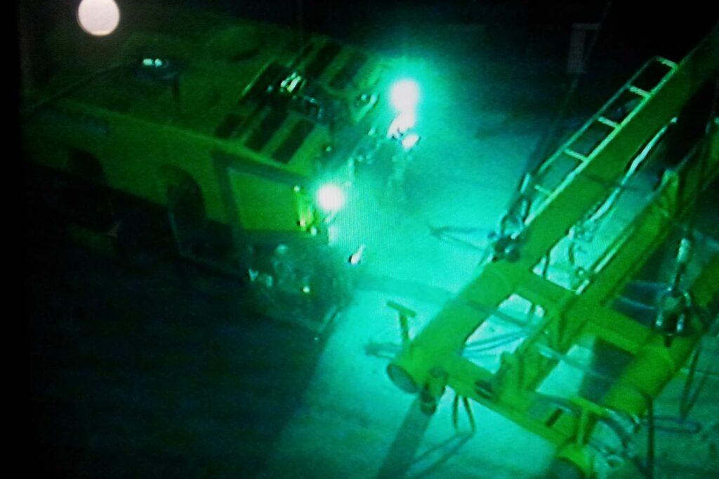
In deep water, or areas whereby higher accuracy is required such as at pipeline start-up and laydown or in-line structures, the standard Ranger 2 USBL setup may not offer a high enough slant range performance. In this case, the Ranger 2 USBL system can be optimised by closely integrating Lodestar AHRS sensor on the USBL deployment pole or by tightly integrating the Lodestar in a combined GyroUSBL transceiver.
Optimised Ranger 2 and GyroUSBL systems offer USBL performance that was previously unimaginable. With performance of up to 0.07% of slant range, the highly accurate positioning required for start-up and laydown, along with installing in-line structures or at critical pipeline crossings or standard pipelay in extreme water depths can be met.
