Naval ship navigation
Our acoustic, gyro, inertial and Doppler technologies can help extend your vessel’s capability, reduce your risk and keep your mission on course. It’s COTS technology that’s in service with, and trusted by, hundreds of commercial, scientific and private vessels globally.

What our tech can do for you
COTS
Tried and tested technology from energy and science sectors
GNSS
Operate with resiliencancy against the threat of navigation warfare
Integration
Easy to interface with 3rd party navigation systems
230 m
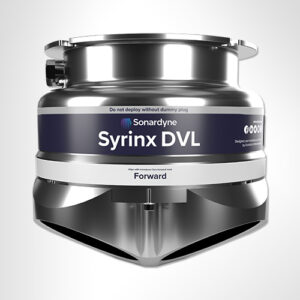
Achievable bottom lock with Syrinx DVL
Naval ship navigation
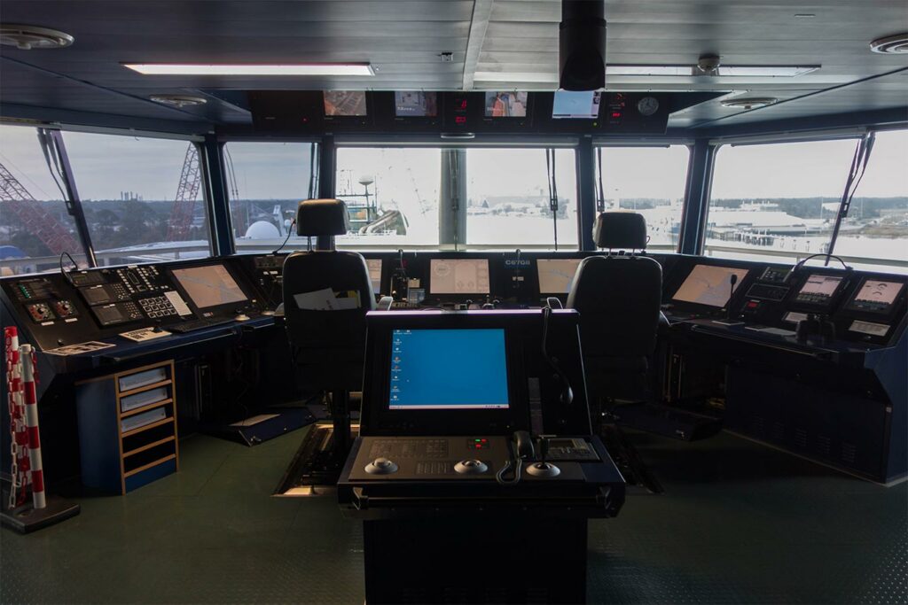
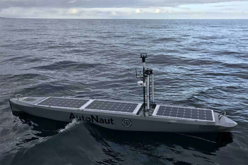
Accurate navigation for ships is an enabler for modern navy operations. Knowing your ship’s position in real-world coordinates is necessary for modern dynamic positioning (DP) systems. It is also necessary for autopilots commonly found within unmanned surface vehicles (USVs) but now also found in manned ships capable of following waypoints. Navies traditionally use GPS as a reliable reference, but what happens in GPS denied environments? In Sonardyne we have developed solutions that combine acoustics and inertial navigation systems (INS) to provide robust navigation references even in GPS denied environments. Our instruments are available commercially-off-the-shelf and can be easily integrated with your ship’s navigation system.
Navigation solutions
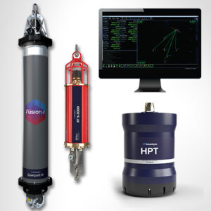
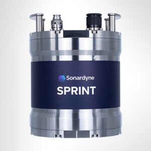
Should your ship enter a GPS denied environment many of its functions will be adversely affected from navigation to targeting, the job of knowing where you are driving a lot of the capability. Fear not, Sonardyne has developed a suite of SPRINT inertial instruments that can be aided by taking acoustic data from Syrinx DVL, a Doppler Velocity Log, or from beacon transponders in the seabed using Ranger 2, an Ultra Short Base Line system, to help navigate in absolute coordinates with unmatched accuracy. These solutions can feed directly to your ships guidance computers.
Safe navigation
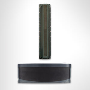
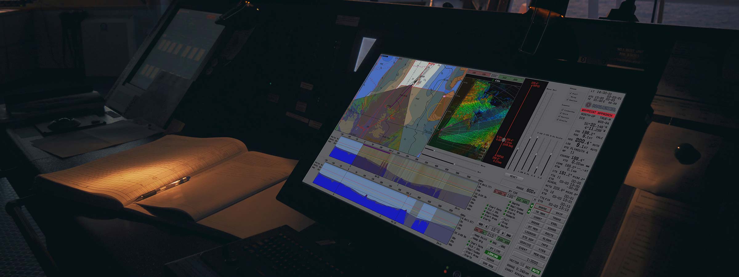
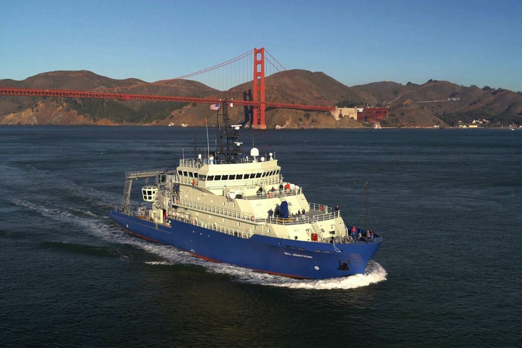
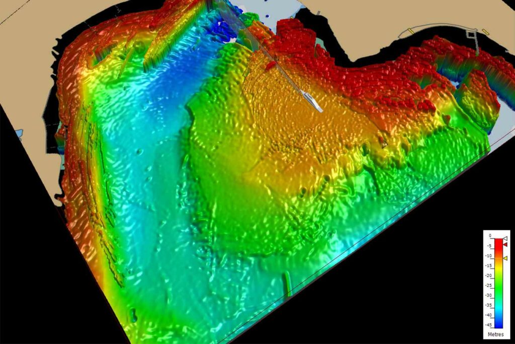
Expeditionary forces are required to operate in uncharted, inhospitable waters. In these scenarios, ships get up-close and personal with the littoral, and are required to chart the local surrounding on-stride. This is where our Vigilant underwater forward-looking sonar technology provides vastly improved situational awareness for captains and their crews, generating a 3D picture of the environment in a 120 degree, 600 m sector and maps obstacles at distances of up to 1,500 m.
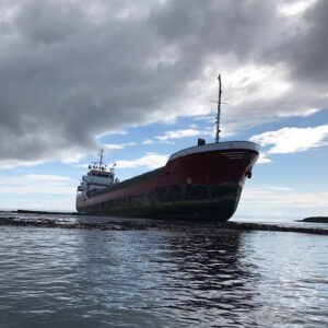
The world’s oceans still today remain largely uncharted. A simple change in tide can be costly if your ship runs aground. Even the world’s most advanced systems are exposed to this risk and groundings tend to make their way to front page news. Vigilant (formerly NOAS), developed by our sister company Wavefront Systems and manufactured and commericalised by Sonardyne, is a forward-looking sonar that images the seabed ahead of a vessel to detect potential underwater hazards. It uses sophisticated bow-mounted transducers, displays water depth, sub-surface obstacles and features by creating an accurate 3D model of the underwater environment.
