Geohazards & Tsunami
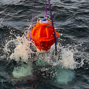
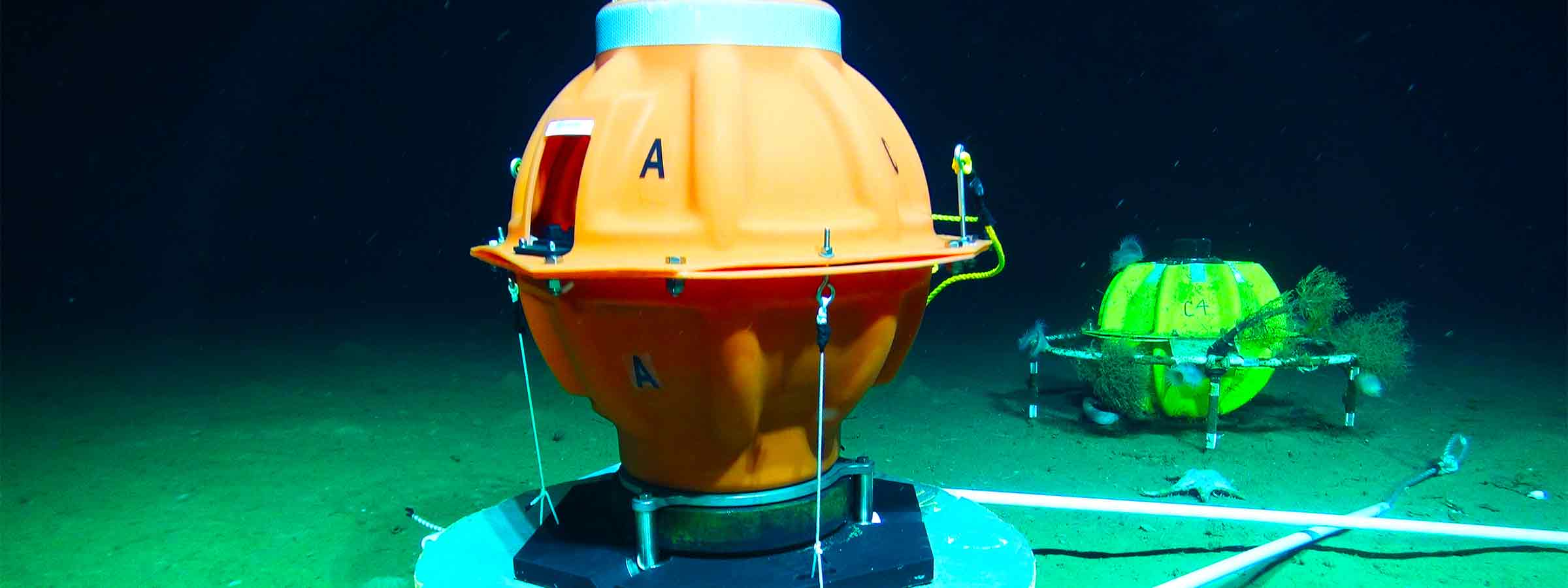
Over a decade of investment and development has led to our award-winning technologies for monitoring seabed deformation caused by plate tectonic processes and other geological triggers. This same technology is at the heart of our tsunami detection system.

What our tech can do for you
Precision
We can measure seabed movement at centimetric level
10 years
Instruments designed for multi-year deployments up to a decade
Remote
Integration buoy and USVs for over the horizon operations
Trusted
Buoy and USV solutions for over the horizon operations
Technology Innovation
The roots of these systems lie in interrelated requirements dating from the early 2000s. The first was the need for a solution to the challenges highlighted by the 2004 Indian Ocean Tsunami. The second was a proposal in 2006 to develop a method of precisely monitoring seabed changes for offshore reservoir monitoring. Both required cost-effective, solutions for large-area multi-year observations.
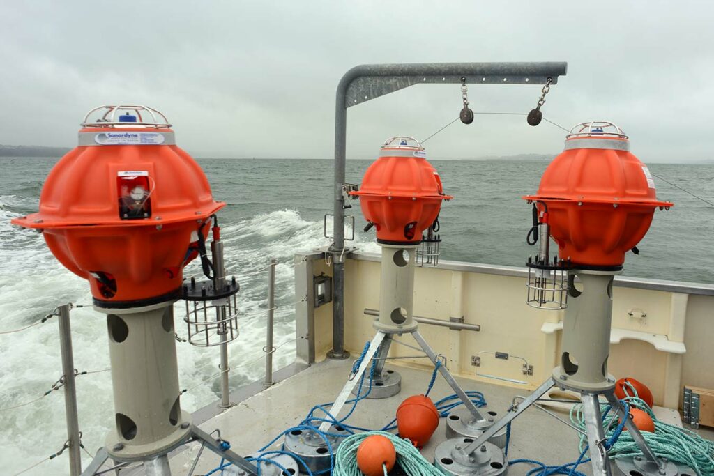
To meet these dual challenges, Sonardyne brought together developments in high-performance acoustic signalling, pressure sensing, low power electronics, waterproof pressure tolerant and corrosion-resistant marine housings, long-life battery technologies and acoustic transducer designs.
The result is a family of instruments that has since been deployed for both commercial and academic purposes. This work was recognised in 2021 by the Queen’s Award for Enterprise in Innovation.
Ranging
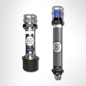
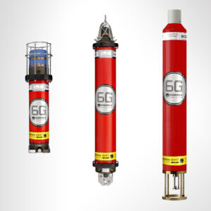
Our core USBL and LBL acoustic positioning technologies mean that all our 6G systems have the capability to range to a precision of better than 15 mm. This means that an array of our AMTs, which automatically range between each other, can measure centimetric changes in their relative positions. This technology was initially deployed at Shell’s Ormen Lange field in the Norwegian Sea in 2007, but has since been deployed in a variety of scientific projects ranging from the Nazca-South American subduction zone off Chile in depths of up to 5,400 m, to the submerged eastern flank of Mt Etna in water depths of up to 1,000 m.
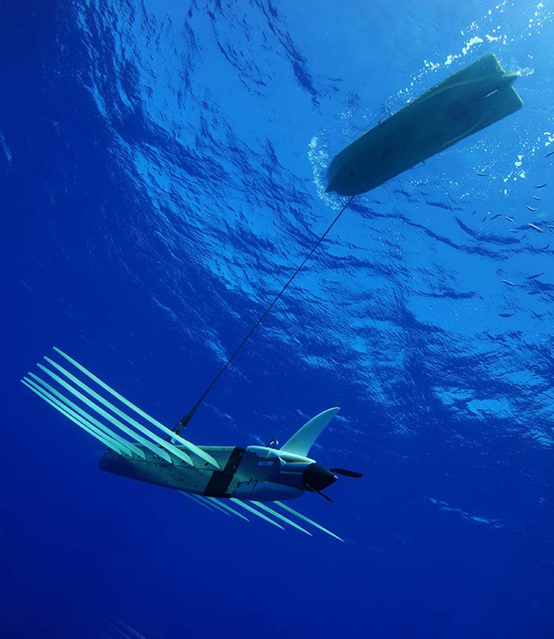
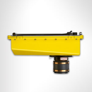
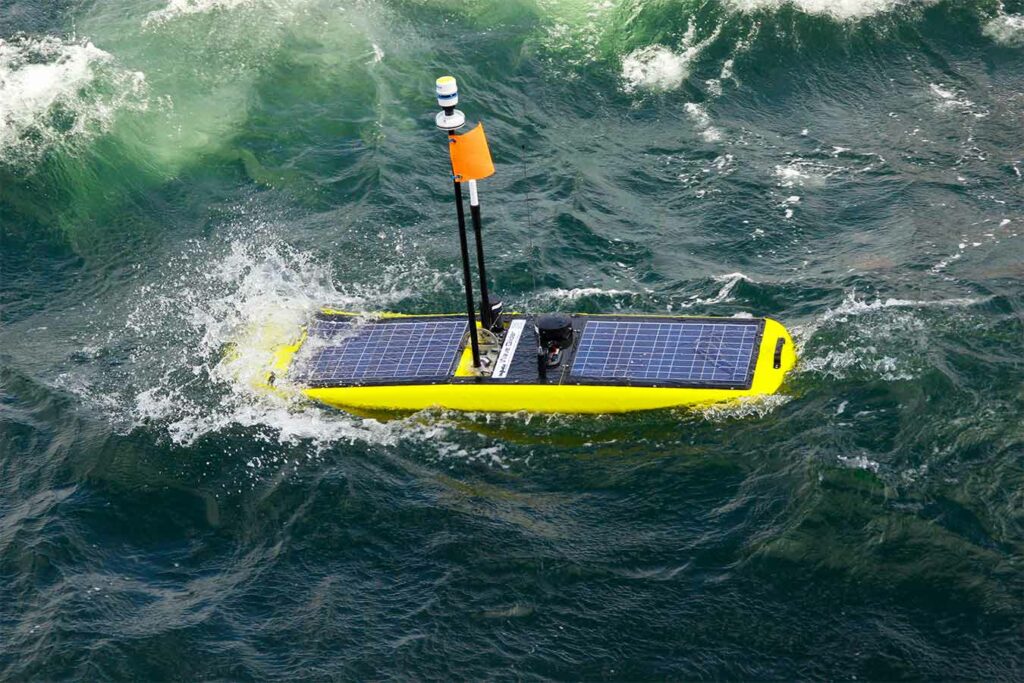
Precise ranging is also the basis of another technique – GNSS-Acoustics (GNSS-A). This tightly couples a surface transceiver with GNSS-derived heading and an MRU in a USV, which acoustically ranges to a seabed Fetch unit. The surface transceiver itself is positioned in a global reference framework using post-processed GNSS data, which typically yields up to 30 times more accurate positioning than a typical GNSS receiver. Our USV GNSS-A module is a highly cost-effective method for absolute measurements of plate tectonic movement and has been used around the ‘Ring of Fire’ to study the Aleutian, Cascadia, Mexican and Hikurangi subduction zones.
Under Pressure
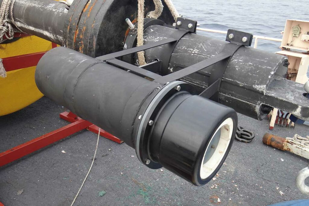
Measurement of bottom pressure is fundamental to Tsunami detection and many seabed deformation measurement techniques.
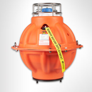
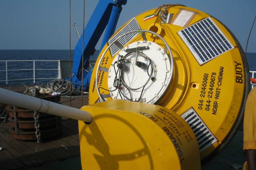
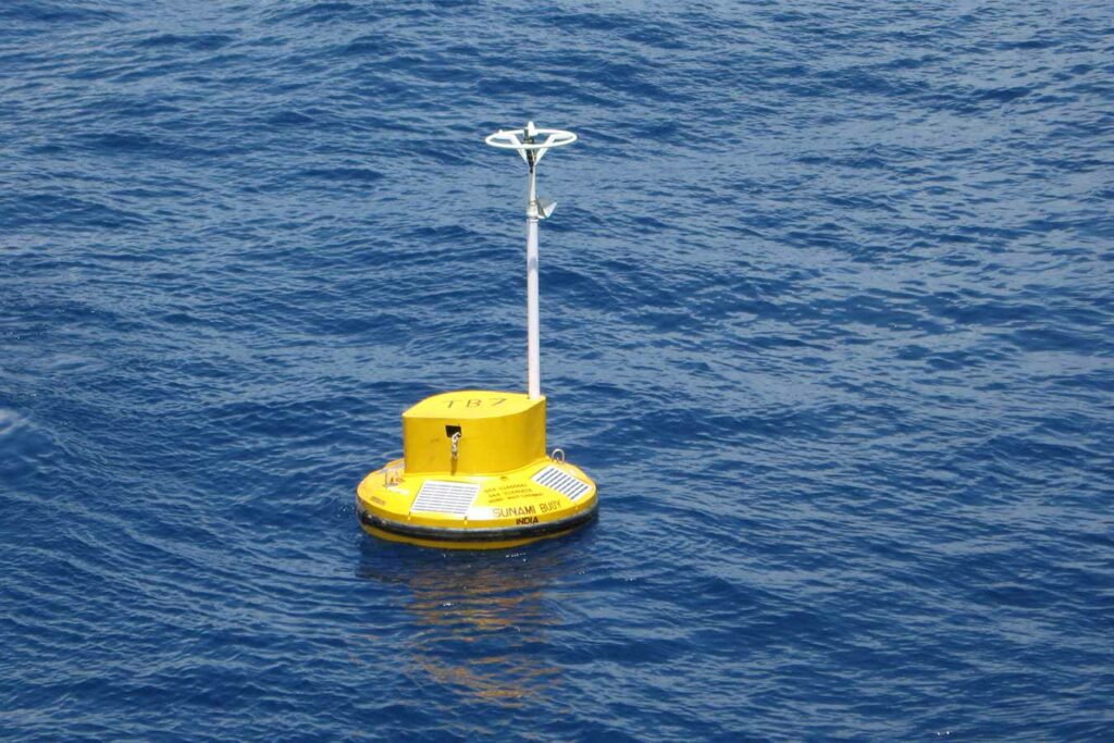
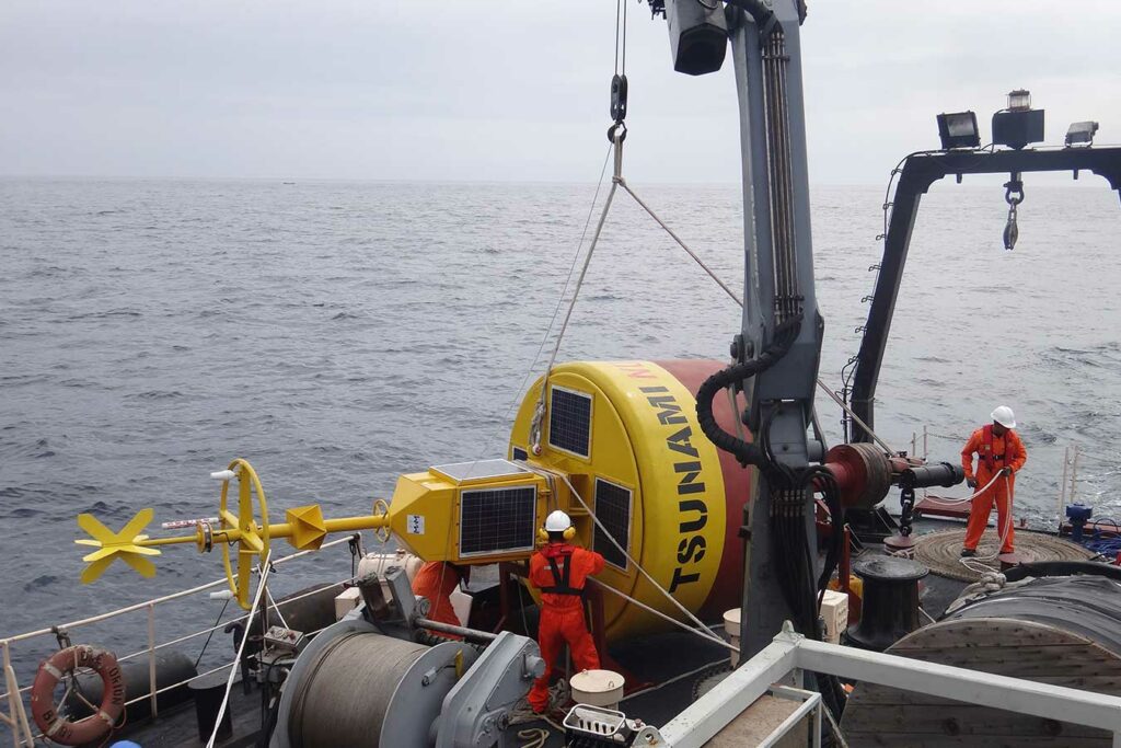
While a Tsunami may arrive at the coast many metres high, in open ocean they pass almost imperceptibly and may only be a few centimetres in height, although this elevation in sea-level can be maintained for as long as 20 minutes. Our Tsunami Early Warning System (TEWS), now supplied in partnership with MSM Ocean, therefore continuously monitors water pressure and in routine operation acoustically transmits this hourly to a buoy on the surface.
The instrument runs the same NOAA algorithm as used in the Deep-ocean Assessment and Reporting of Tsunamis (DART) system, which will put the system into an alert mode if two consecutive measurements exceed a difference of three centimetres from the predicted pressure. This triggers transmission of high-resolution pressure data to the surface over the next few hours.
For seabed deformation studies, bottom pressure can be combined with the ranging techniques described above to provide high resolution relative measurements of local movement. The problem with this is that despite the best efforts of manufacturers, pressure sensors all drift to some degree and can introduce errors in measurement. These errors can be of a similar magnitude to the actual subsidence and in some cases even greater. This drift is actually a bias and our latest Ambient-Zero-Ambient (AZA) instrument involves in-situ calibration of the pressure sensor by periodically comparing to a more accurate low-pressure sensor.
