Locating, surveying and then raising the iconic wreck of Henry VIII’s flagship, the Mary Rose, has gone down in UK maritime history. Forty years since it was raised from the seabed, Nigel Kelland, reflects on how Sonardyne played a key role in this fascinating piece of history – a role which continues, even today.
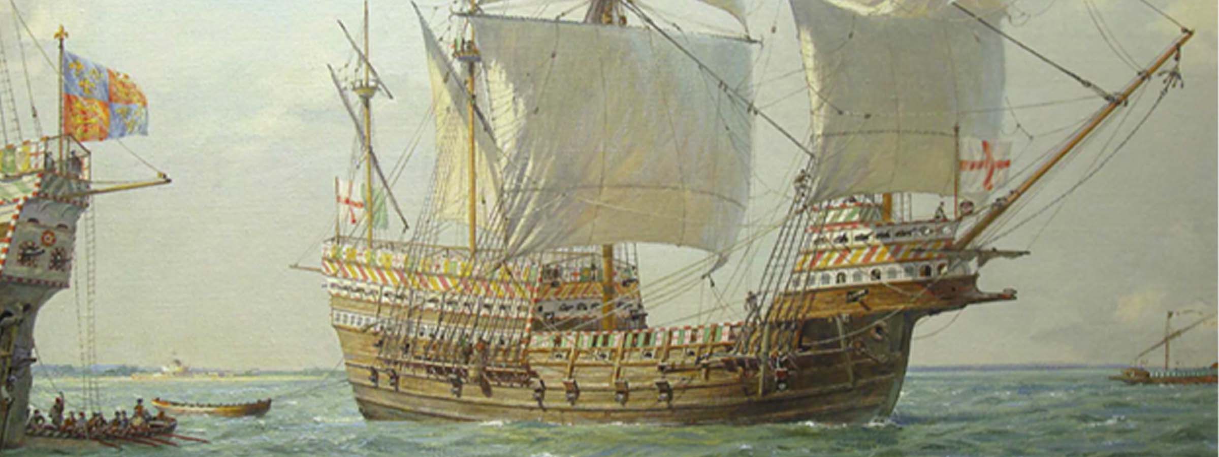
Today, many will have heard of the Mary Rose. She is an iconic example of maritime history, one of the earliest ships built as a warship. It’s now 40 years since she was recovered from the seabed in 1982, a feat that has helped to make her a household name. But, in 1971, when she was finally rediscovered off Portsmouth, by a dedicated search team, few would have recognized her name.
Indeed, little did I know then that I would be involved in both helping to survey and raise this magnificent ship over multiple decades, or that 50 years after her discovery – and long after my own retirement – the latest generation of Sonardyne’s technologies would still be being used on the site where she lay.

The Mary Rose today. Photo by Peter Kersten CC BY-SA 4.0
The discovery
In 1971, Sonardyne had been founded by John Partridge. His first innovation was the Rangemeter, a diver-operated Long BaseLine (LBL) system that used acoustic signals to measure distance underwater very accurately from an array of transponders
I had trialed it successfully at the Unit of Coastal Sedimentation for monitoring movement of sand waves in critical navigation areas for deep draft tankers. When I moved to BP’s research team at Sunbury it was adopted for measuring the position of pipelines in their West Sole gas field to a higher tolerance than we could achieve with towed sonar at the time. BP had required 0.5 m accuracy – in 1975, John’s Rangemeter achieved 155 mm.

Nigel Kelland holding the Mary Rose Rangemeter (BP).
At a 1973 diving conference in Stockholm, the instrument had come to the attention of Margaret Rule, an archaeologist who went on to become a key figure in the excavation and campaign for raising the funds to raise the Mary Rose for what is now the Mary Rose Trust.
Enter BP
But the stroke of luck came when Prince Charles became involved and, during a visit to BP, persuaded its then chairman, Sir Eric Drake, to support the Mary Rose project with technologies BP was using in the North Sea. The Mary Rose wasn’t yet the public sensation it became, but BP agreed and, as a marine geophysicist and diver, they called on me to suggest how they could help. As I had met Margaret Rule at the Stockholm conference, I knew exactly what she wanted!
And so, in 1975, Sonardyne’s and my more than 30-year involvement with what is still one of the most complex marine archaeologic projects in the world began. Over those years, both marine archaeological practice and Sonardyne’s technologies have evolved.
Rising to the challenge
It’s been a fascinating journey which spans the Rangemeter LBL system through to Sonardyne’s first and most recent Ultra Short BaseLine (USBL) and Wideband technologies. My first task in 1975, whilst working for BP, was to obtain an accurate site plan of the exposed frames to supplement diver survey checks using offset tape measurements from a rigid pole positioned over the frame heads.

The original plot of Rangemeter positions, clearly showing the curve of the hull.
The most important lesson was having to monitor, on a regular basis, the changing speed of sound around the wreck, due to temperature and salinity variations with each tide, a key factor in all subsequent Sonardyne operations worldwide. The computed positions were generally better than 100 mm and corrected an artificial straightening of the slight curvature of the structure. They also established control reference points for three-dimensional survey measurements during the excavation.
In 1979, after joining Sonardyne, dependance on an experienced survey-diver had been overcome by the company’s introduction of its vessel based Rangemaster LBL transceiver. Range measurements were taken to each transponder from specified targets using a remote transducer held by a Mary Rose diver, with whom I communicated over a hard-wired telephone. This was a precursor to subsequent world-wide operations using ROVs and AUVs. The positions were derived using a LBL survey application running on a HP desk top computer developed by Chris Pearce*, Sonardyne’s Technical Director. It was the first step in future survey applications.
Raising the Mary Rose
Monitoring the position of the hull under its lifting frame, with the assistance of a Sonardyne colleague David Lawes*, as it was transferred underwater to the recovery cradle using the giant floating crane vessel Tog Mor in October 1982, was a straightforward operation.

Sonardyne’s LBL positioning system comprising Mk2 Compatts and a PAN transceiver, with the latest positioning application running on a HP computer, operated with no problems during the 12-hour transfer.
Two major issues then arose that fortunately had no impact on the hull. One of the four lifting frame legs was bent outside its stabbing guide on the recovery cradle. It had to be cut off after the frame was docked under diver control, using the three remaining legs and replaced by an additional fly hook for the lift.
The far more dramatic incident occurred as the recovery cradle was being slowly lifted out of the water when the lifting frame collapsed with an enormous bang -witnessed by the millions of people watching world-wide on television, which is still seared on my memory! No damage occurred to the remains of the vessel, as the impact was absorbed by air bags located under the hull.

These incidents are discussed in Channel 4’s production “Raising the Mary Rose: The Lost Tapes”, that was broadcast during the 40th anniversary celebrations of the raising of the Mary Rose on Sunday (October 9), that I was pleased to attend in Portsmouth.
In a far more relaxed moment, David Lawes and I had the opportunity to explain the operation of Sonardyne’s equipment to Prince Charles, attending as President of the Mary Rose Trust, accompanied by Constantine of Greece. We gave encouragement to Charles for his planned televised dive on the hull by showing him the water temperature recorded by one of the array Compatts (I recollect 16.1 degrees Celsius).
Further Operations (2003 – 2005)
A Ministry of Defence (MoD) decision was made to possibly widen and straighten the approach channel to Portsmouth to accommodate the UK’s new aircraft carriers. As this would have affected the Mary Rose site, that still contained important artefacts, the MoD agreed to sponsor further work on the site that continued for three summers. As this required acoustic positioning, Sonardyne provided LBL and USBL equipment. This had the important benefit of providing real-world experience to development engineers, which was becoming increasingly limited offshore.

Crawler/excavator ROV fitted with a RovNav Transceiver.
The first operation was to remove the silt cover over the site using a Swan 2002 excavation ROV, which Sonardyne positioned with a RovNav transceiver. The LBL equipment used in 2003 included Mk4 Compatts and transceivers provided acoustic ranging resolutions of 15mm controlled from a PC running Sonardyne’s Fusion LBL application under Microsoft Windows. The Fusion system used a shipborne DGPS and gyro compass to position the survey vessel, ROV and divers in real-world co-ordinates.
The array deployment and calibration gave me the first opportunity to operate the system in a non-trial situation with impressive results. New artefacts and wooden structures from the bow section were excavated, including the 9 m stem post.
This created a major problem as the archaeologists needed to relate the stem timbers to the location of the hull, which had been recovered. Fortunately, a diving platform that had sunk during gale conditions in 1973 had been positioned using the 2003 system and by myself during the 1975 Rangemeter survey. I luckily found a copy of the survey plot prepared by BP in my Mary Rose file!

Multibeam plot of Mary Rose site with diving platform (blue box)
By correlating the position of the diving platform from each data set, my Sonardyne colleague Peter Holt* was able to superimpose the in-water position of the hull frames exposed at the seabed onto the current multibeam derived survey plot of the site. This allowed the recovered hull to be relocated back into the new survey plan.
Positioning during the 2004 season was carried out using a protype Sonardyne Scout USBL system, continuing the tradition of allowing Sonardyne developers to test new tracking systems on the Mary Rose site. Although less precise than the LBL system, it could be used for position monitoring of multiple divers and a recovery frame without the need for cables, with acceptable position accuracies of 100 mm to 500 mm.
The Scout system was again used in 2005 for artifact mapping when the opportunity was taken to carry out trials of the Wideband technology being developed by Sonardyne, with much better performance being shown under the shallow water reverberant conditions. The Scout USBL system was used to position the lifting crane hook during the recovery of the 9 m stem timber and a 4.8 m-long anchor, now on display in the museum. Scout systems went into use on many maritime archaeological organizations following the initial success on the Mary Rose site.
Diving on the Mary Rose today
Even today, there are still significant remains of the Mary Rose buried under the seabed and marine archaeology operations are ongoing, including using Sonardyne’s latest USBL systems.

Diving on the Mary Rose site with Mini-Ranger 2 in 2022. Photo from MSDS Marine.
In fact, just last month, one of those, Mini-Ranger 2, was being used on the site by marine archaeology specialists from the Mary Rose Trust and MSDS Marine as part of continued survey operations and identifying and marking where objects identified in geophysical data are located. The system was also used to provide additional diver safety during filming operations for a television show, due to air later this year.
From my first meeting with Margaret Rule and then seeing the timbers of this historic ship protruding from the seabed, and providing assistance during the recovery to seeing her on display in her full glory at Portsmouth Historic Dockyard today, has been an incredible journey that I’ve had the luck and honour to play a role in.
Interested in the history of the Mary Rose? Read more about the history of Sonardyne’s involvement and the technologies used in this historic project here.
Read more about the Mary Rose Trust here.
*Chris Pearce and David Lawes, like Nigel, are now retired. Peter Holt is Chief Technical Officer at HydroSurv.