How can we help?
Do I need to use a scale factor in Fusion 2?
21 June 2021
How Fusion 2 manages different geodetic frames
Previous versions of Sonardyne LBL software positioned everything on a flat grid, based at the surface. With the increasing use of real-world systems like SPRINT-Nav, and positioning accuracy improvements with the advent of Wideband technologies, along with increasing array sizes, it became necessary to account for the difference in distances seen at the surface and at depth, due to the curvature of the earth. To do this, an elevation scale factor was computed and added to the projection scale factor to create a combined scale factor in Fusion 1. This was applied to the baselines during calibration, and the ranges during tracking, to allow them to fit the real-world positions.
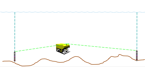
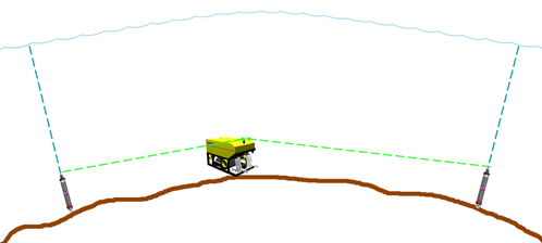
Positioning on a flat surface versus positioning on a spheroid
Fusion 2 has been designed to position directly on to a spheroid, as far as the user can see. Fusion 2 does not apply a scale factor to the ranges, it uses the current geodetic settings to convert the array locations into a local unscaled frame and uses this frame to perform the calculations. It then converts the results back to the configured projection to be displayed and outputted as required. This negates the need for the user to manually calculate and apply a scale factor.
Contact Support@sonardyne.com for more information.
Looking for more content?
Find more product support in our Knowledgebase
Haven't found what you're looking for?
Then speak to one of our team for expert help
