Monitoring the restless earth – underwater
On land, rapid events like landslides and earthquakes are easily measured with satellite imagery, while precise measurement of much slower tectonic plate movements using space geodesy techniques have become routine. Unfortunately, neither of these techniques work underwater, which has meant that such measurements have stopped at the waterline – until now. In a three-part blog, Geraint West, Global Business Manager for Ocean Science, explains some of the research Sonardyne technology has been helping.
Whether it’s a fast-moving landslide or tectonic plate movement on a geological timescale, the reality is that, in one way or another, much of the earth’s surface is in motion. On land, surveyors and scientists now take the ability to measure centimetre (or even millimetre) displacements of the earth’s surface, using a variety of space-based technologies, including GPS, very long base interferometry (VLBI) and satellite laser ranging (SLR), for granted. Unfortunately all of these techniques rely on electromagnetic wavelengths, which are unable to penetrate below the surface of the sea – at least not to a scientifically useful level. The consequence is that there have been major gaps in the understanding of deformation mechanisms at the seabed and the ability to model them in relation to movements on land.
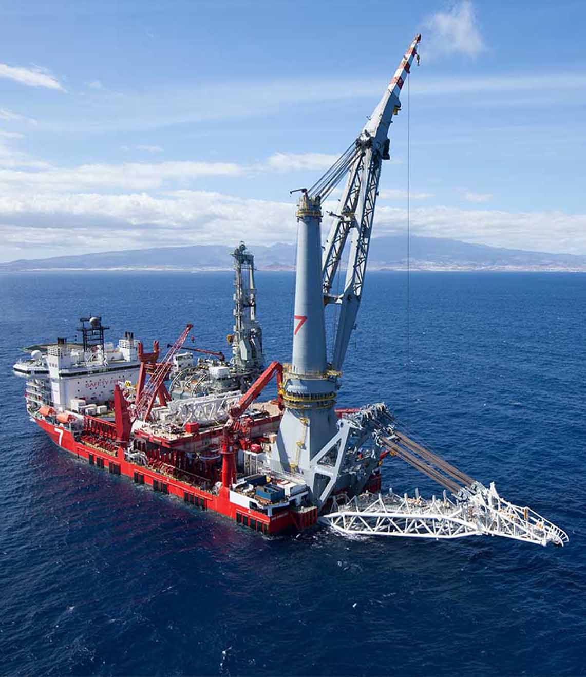
Based on technologies originally developed for the oil and gas industry, to measure seabed subsidence, we have been working with diverse commercial and academic partners to develop new techniques and technologies for directly measuring the movement of the seabed, even when it’s beneath many kilometres of seawater. The result is that our versatile technology is now being used in a wide variety of projects that are improving the understanding of seabed processes, from short and violent high velocity events to very slow tectonic plate movement.
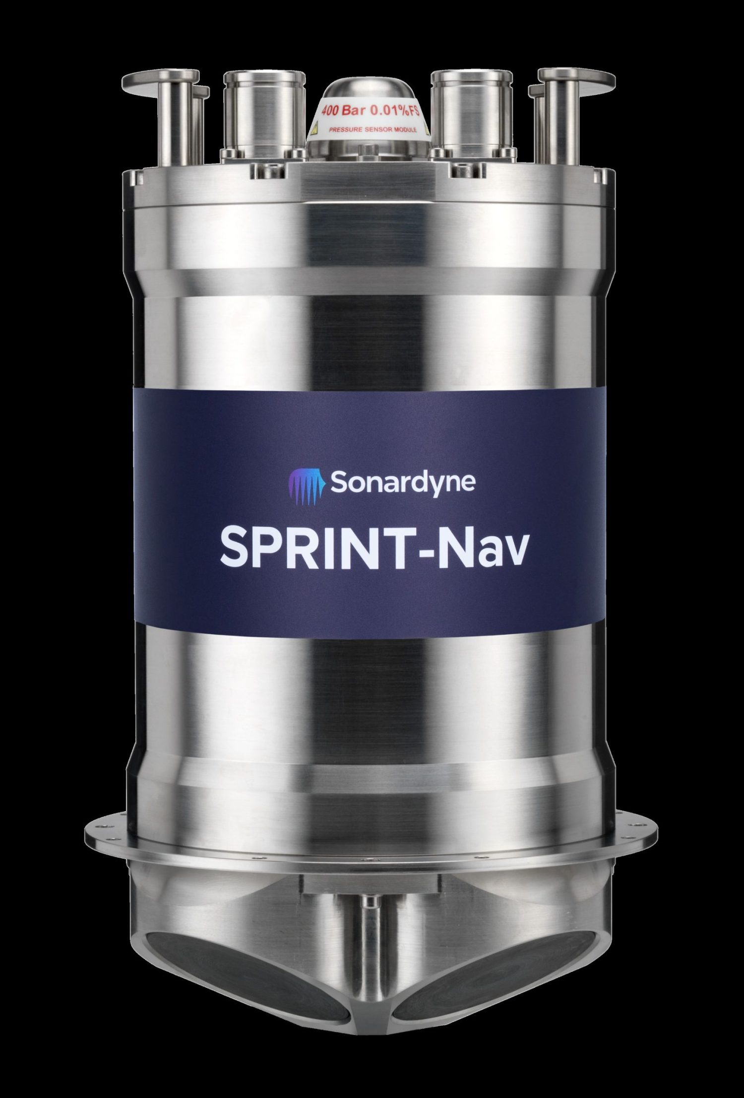
At the heart of these studies is Sonardyne’s Autonomous Monitoring Transponder (AMT) and its long-endurance relative, the Fetch subsea sensor logging node. Derived from our 6G Compatt transponder, these instruments are designed to acoustically measure the two-way transmission time between pairs of instruments, as well as make high-precision pressure measurements at the ocean bottom, to ascertain depth. Additional sensors, including for temperature and inclination, complement these to make highly capable scientific data gathering instruments. Furthermore, integrated Wideband 2 high speed telemetry enables both offloading data from the seabed instruments at data rates between 100 – 9000 bps to a variety of surface Dunker systems, and their remote (re-)configuration from the surface. The latest versions of Fetch have sufficient battery capacity for in-situ operation in excess of 10 years, resulting in a tool that provides both the sensitivity and long-duration performance required for seabed applications, even in extreme depths.
Underwater ‘avalanches’ – measuring oceanic turbidity currents
Used as a standalone instrument, between October 2015 and April 2017, an AMT was deployed in of one of the most challenging environments that our technology has ever been subjected to. Led by the Monterey Bay Aquarium Research Institute (MBARI), the ambitious objective of the Coordinated Canyons Experiment (CCE) was to make the most detailed direct observation of oceanic turbidity currents yet undertaken. These ‘avalanche’-like events are responsible for carrying vast amounts of sediment (including globally significant volumes of organic carbon) into the deep ocean, while carving out submarine canyons that are similar in proportion to the Grand Canyon on land. Turbidity currents are unpredictable and powerful with frontal velocities of up to 19ms-1 . At this rate, they have the potential to destroy pipelines and communications cables in their path. This makes them extremely challenging to measure. Hence, scientists have been unsure of the basic characteristics of these flows and, in particular, whether they are entirely dilute or driven by a dense basal flow of sediment.
The CCE deployed more than 50 instruments in the Monterey Canyon, including an AMT mounted on top of an 800 kilogram 2.5 metre-high tripod frame. During the CCE, this frame was moved down canyon by the turbid flow six times, including on 15 January 2016, when it was moved 4.2 kilometres down the canyon in one day. When it was located, half buried in the seabed, the AMT was redeployed, before it was again moved on 24 November 2016; this time 0.9km from where it was located and buried on its side in a 2m-thick sediment layer with only one tripod foot sticking above the seafloor. The events that caused these movements all originated in less than 300m water depth and then travelled up to 50km down canyon, past the deepest instruments in 1,850m water depth.
The fact that the AMT moved at broadly similar speeds to other instruments that were also carried downstream is a strong indicator that these were all rafted in a moving mass of water-saturated sediment, often up to 15m-thick, rather than being dragged by a dilute flow. During these deployments, the AMT’s temperature sensor clearly recorded tidal oscillations prior to movement, but on burial this signal became damped, although the record indicates a further five subsequent movements post burial. Charlie Paull, MBARI marine geologist and first author of the recent Nature Communications paper describing the experiment said that, “for years we have seen instruments on the bottom move in unexpected ways, and we suspected that the seafloor might be moving. Now we have real data that show when, where, and how this happens.”
Want to find out more about this article?
Speak to an expert