Sonardyne
Support Centre

Pioneering new era in deepwater seismic monitoring: OD OBN 

Shell Brasil, Petrobras, Sonardyne, and SENAI CIMATEC are pioneering autonomous technology that transforms how Brazil's challenging pre-salt fields are monitored. Now entering a major pilot array phase, the ground breaking On-Demand Ocean Bottom Node programme promises more efficient, cost-effective 4D seismic surveillance—with fewer people and lower environmental impact. This critical milestone brings us a step closer to a fundamental shift in deepwater reservoir management.

The challenge

Brazil’s pre-salt reservoirs lie in more than 2,000 m water depth, plus another 3,000 m beneath the seabed, making seismic imaging particularly challenging.

Traditional seismic surveys using ocean bottom nodes (OBNs) provide high-quality seismic data, but are often expensive and logistically complex, involving the repeated deployment and recovery of nodes using remotely operated vehicles (ROVs).

These factors can limit the frequency and economic viability of frequent 4D seismic campaigns, which are essential for understanding reservoir dynamics over time.

This is particularly challenging for monitoring large pre-salt carbonate fields where production by alternating water and gas injection (WAG) generates subtle and complex 4D signals that are difficult to measure.

These signals require on-demand monitoring with sufficient fidelity and repeatability to overcome the high levels of survey noise prevalent in conventional node-based surveys.

Saipem's FlatFish

The solution

Launched in 2018, the OD OBN programme is a research and development collaboration between partners Shell, Petrobras, SENAI CIMATEC and Sonardyne, supported under the Research Development and Innovation funding clause of the Brazilian National Agency for Petroleum, Natural Gas and Biofuels (ANP).The On-Demand Ocean Bottom Node (OD OBN) programme marks a pivotal step in addressing these challenges, providing a disruptive approach to time-lapse seismic data acquisition.

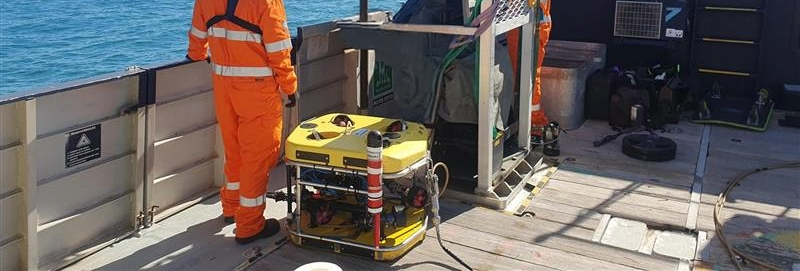
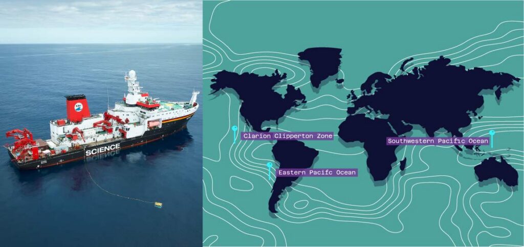
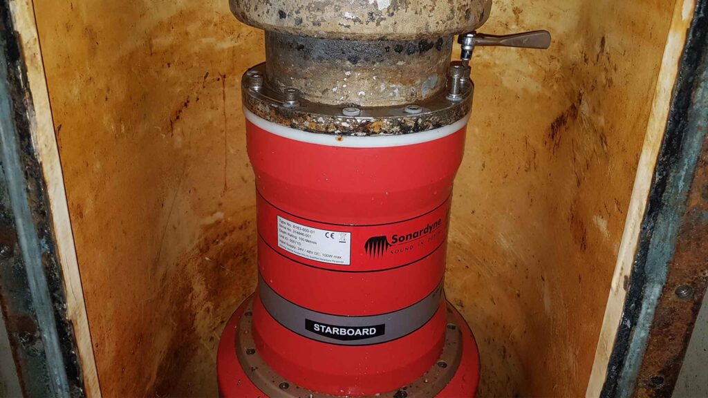
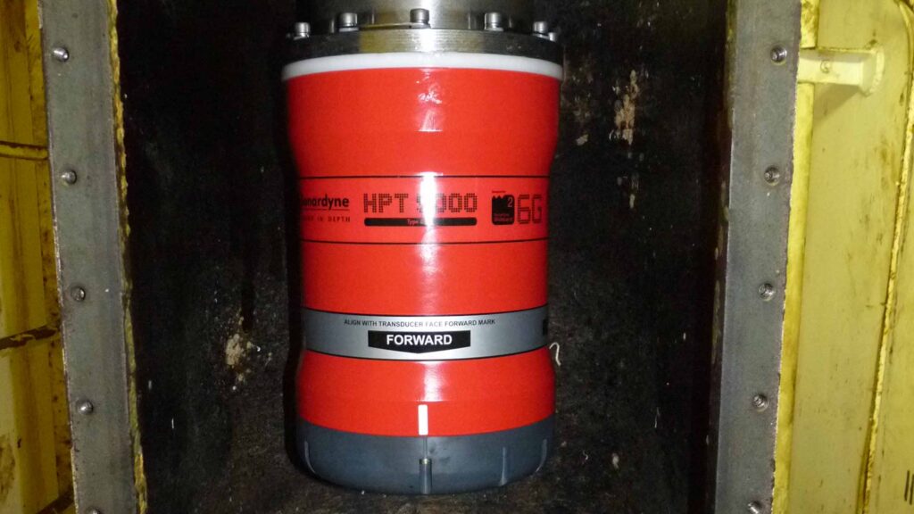
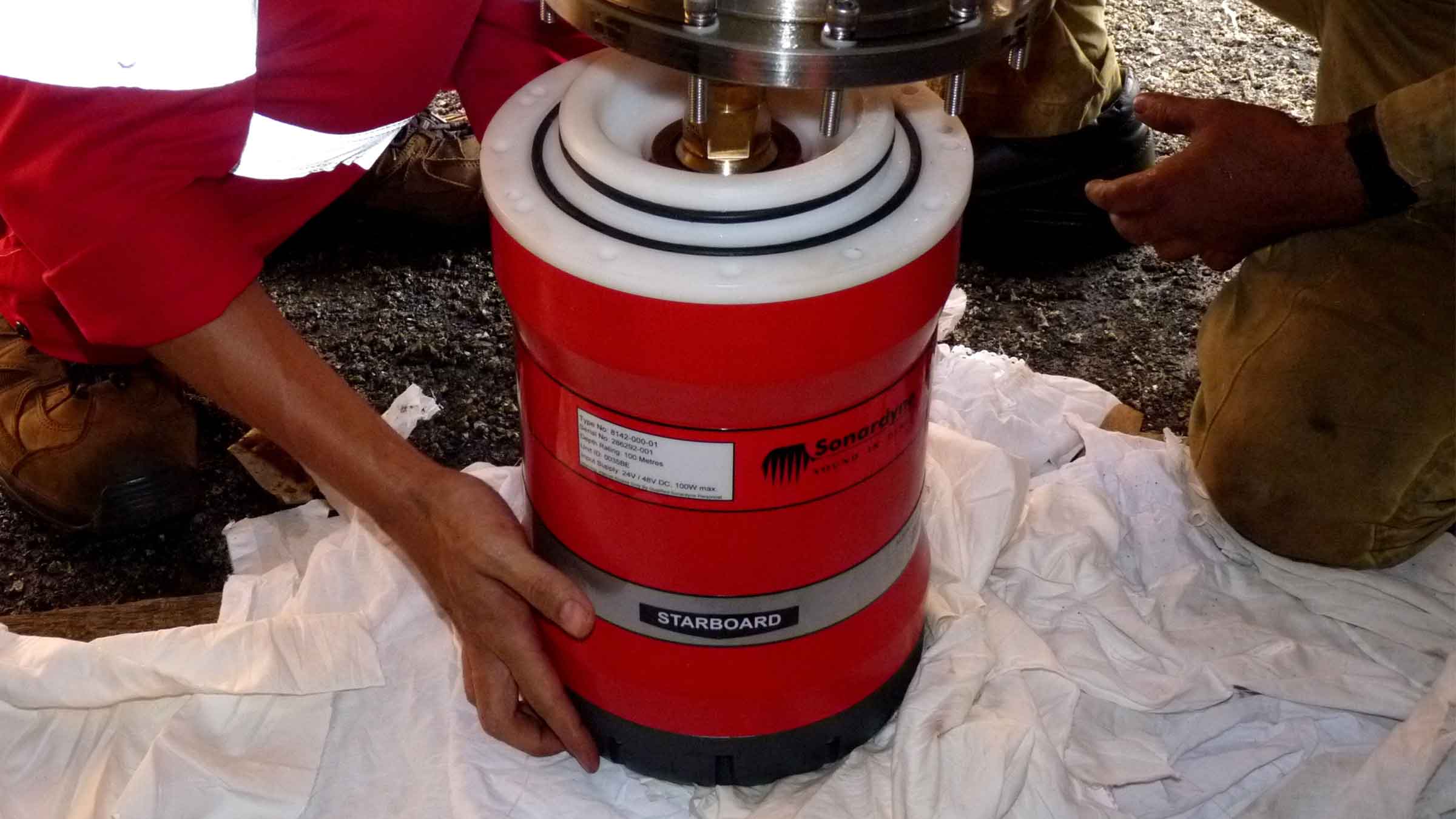
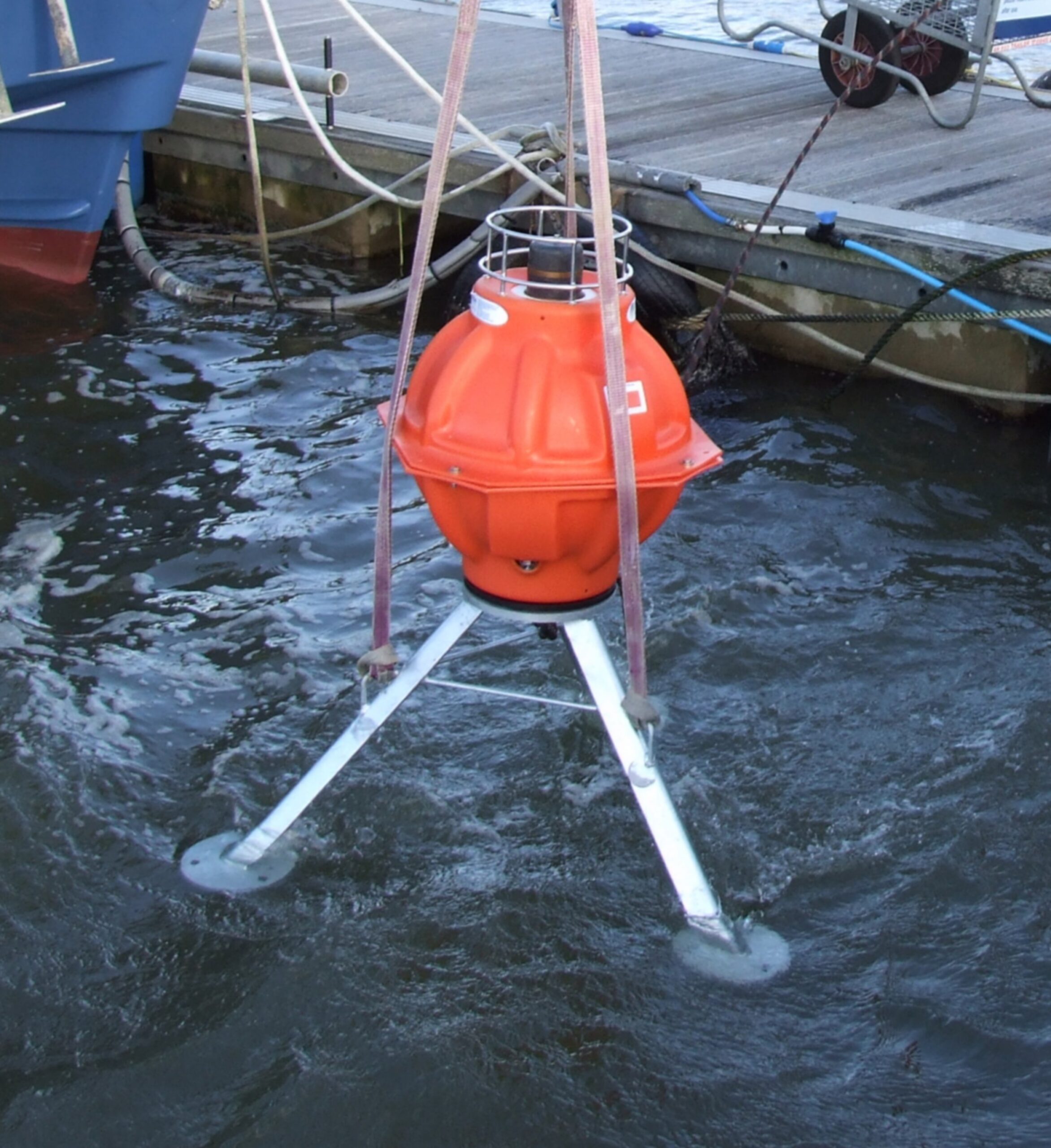
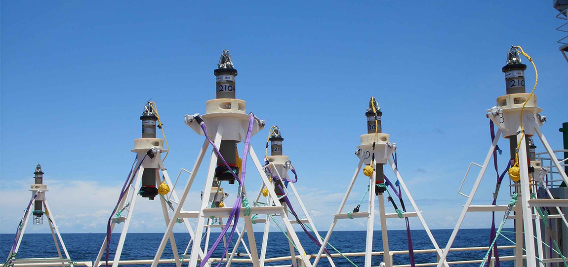
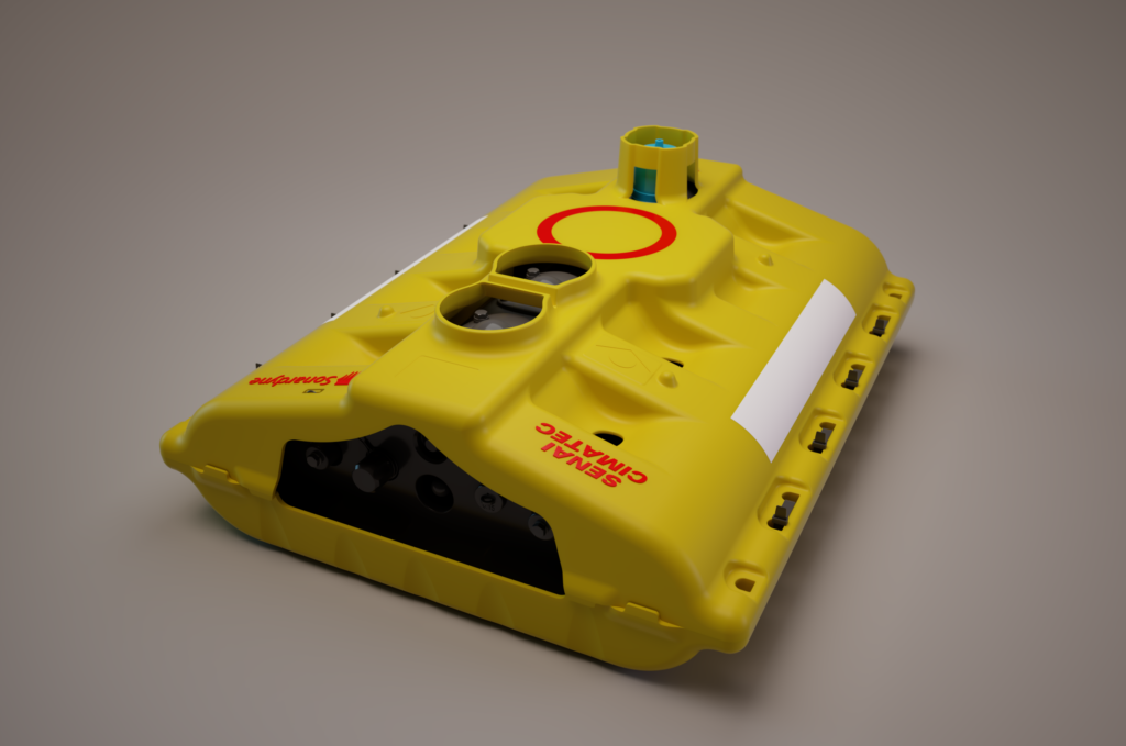
It is a pioneering new system for acquiring 4D seismic data, which delivers more efficient and cost-effective surveillance of complex pre-salt fields. At its core is a long-term OBN system that can remain on the seabed for several years, capturing seismic data that can be recorded and harvested “on-demand” using autonomous underwater vehicles (AUVs), without the need for repeated deployment and retrieval cycles.

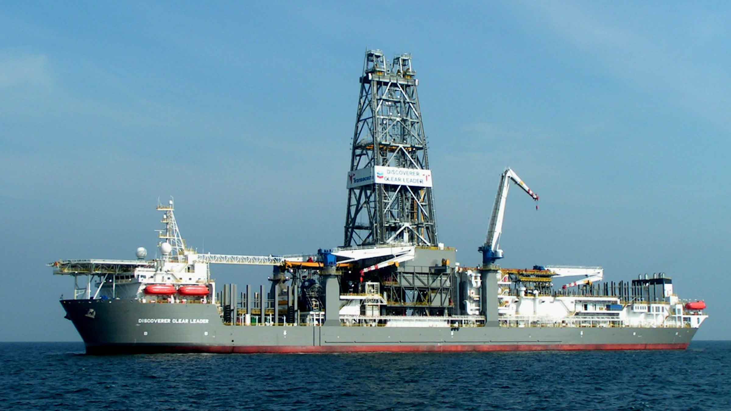
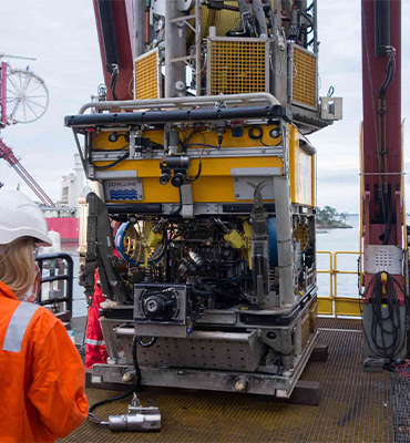
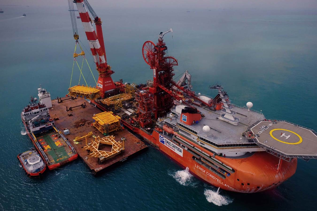
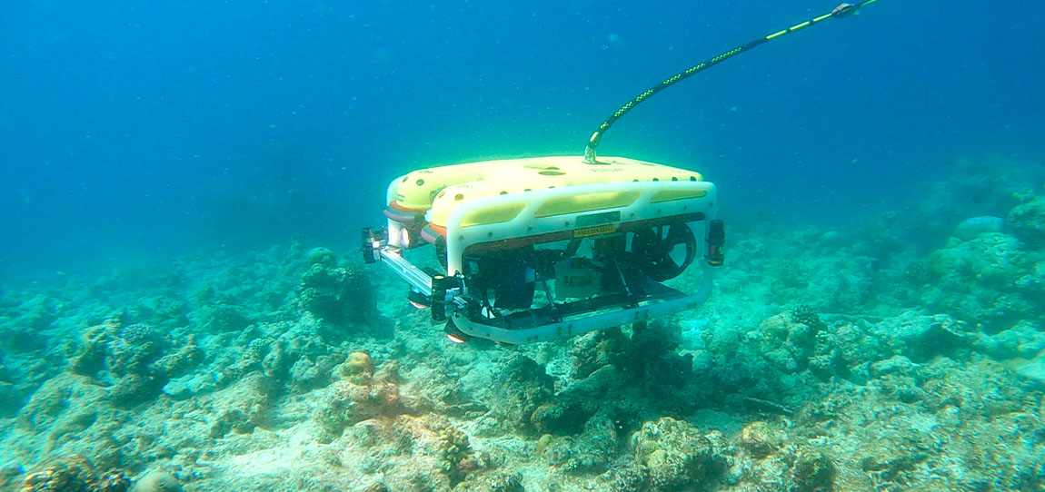
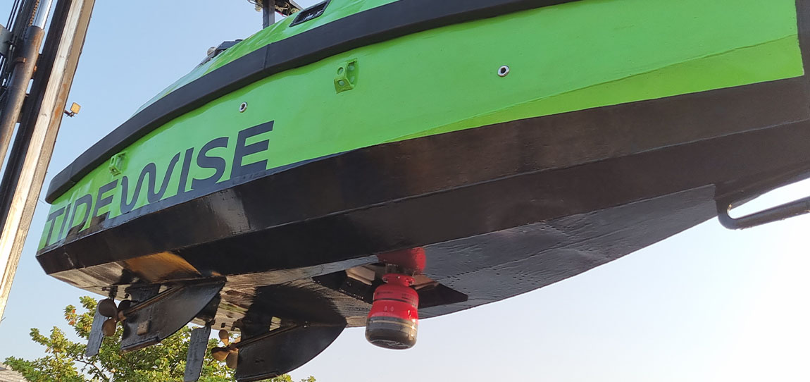
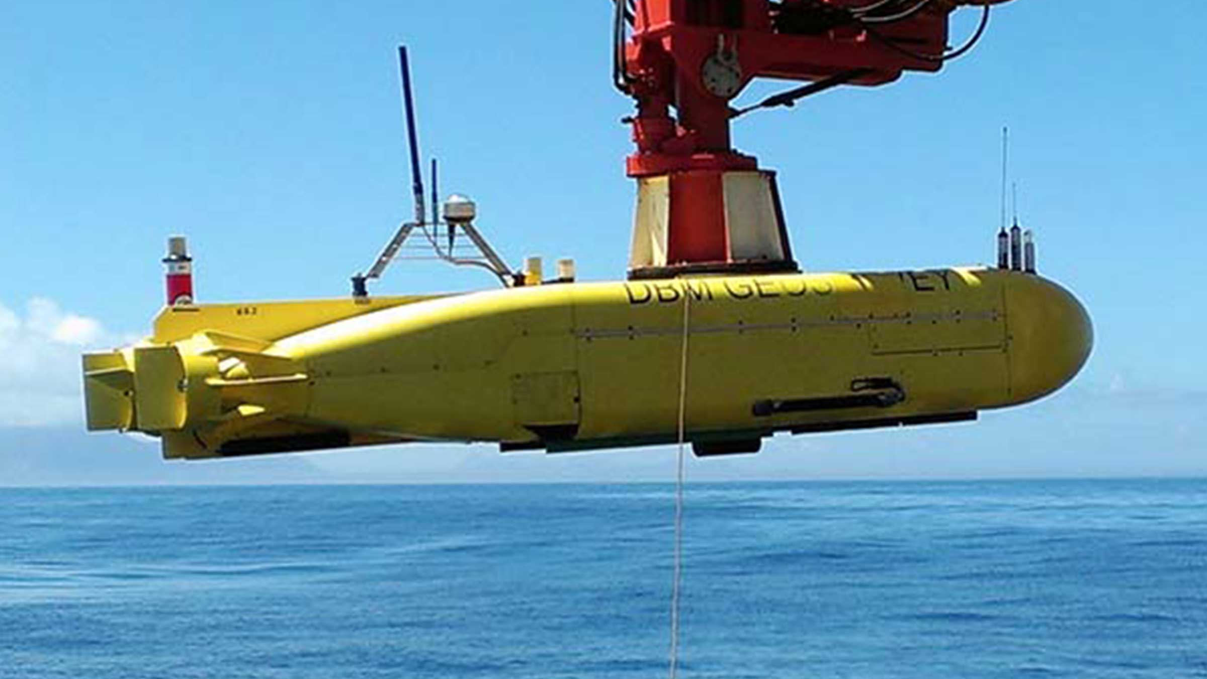
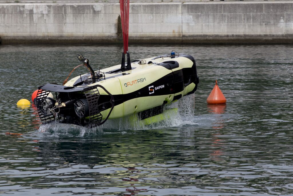
Vast quantities of seismic data are harvested wirelessly using an AUV such as Saipem’s ‘Flatfish’, that implements the through-water optical interface to interrogate the OD OBNs, as developed under a separate ANP programme sponsored by Shell.

This AUV data harvesting approach eliminates the need for node recovery, dramatically reducing vessel time, operational complexity and associated costs.

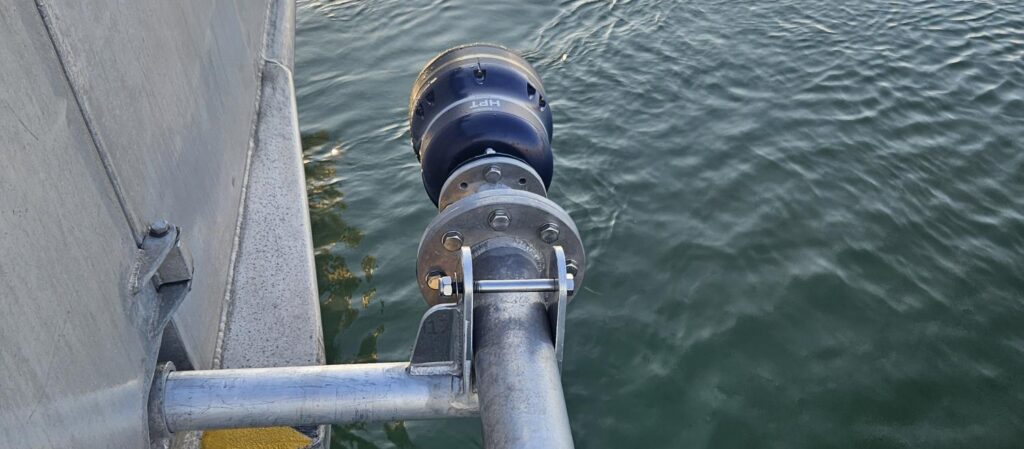
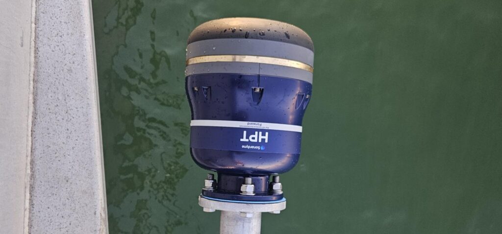
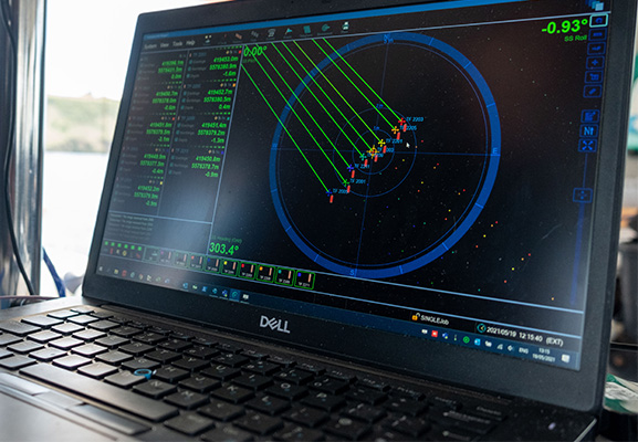
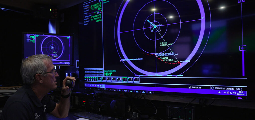
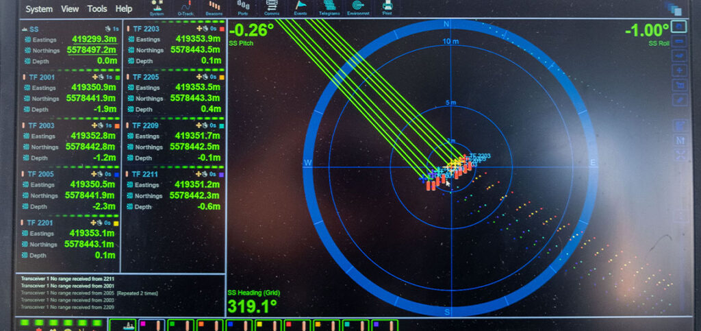
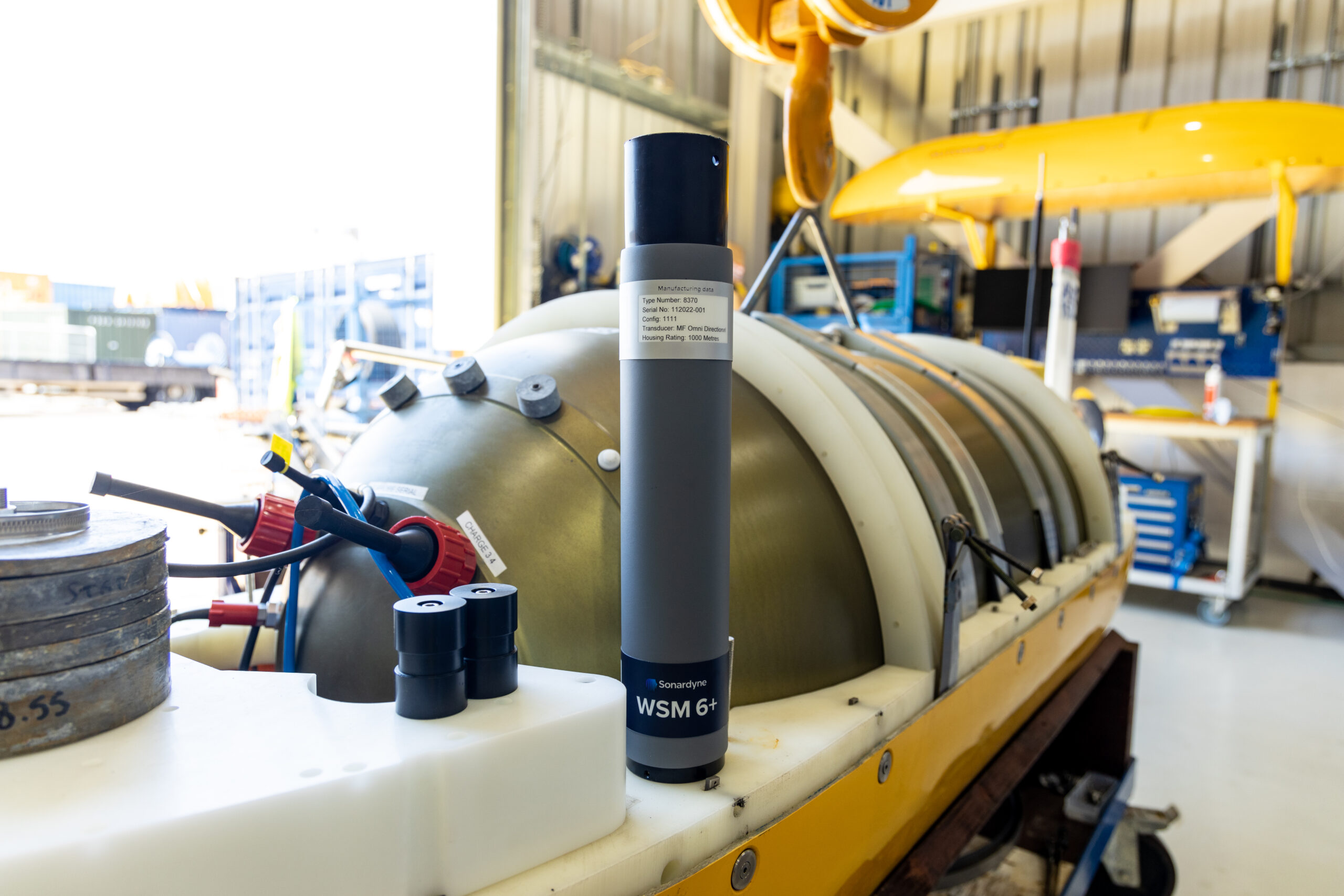
Key Sonardyne technologies include wireless acoustic communications, required for long range recording control and node clock time offset measurement, and Sonardyne’s BlueComm extremely high-speed optical communications for short range data harvesting to a nearby AUV or remotely operated vehicle (ROV).

The results

Over 2,000 days of trials of pre-production nodes have been conducted across various pre-salt fields including Sapinhoá, Itapu and Buzios. These have successfully demonstrated acoustic control, high-fidelity data acquisition and optical data harvesting using BlueComm, as well as comparing OD OBN data with that of other commercial nodes.

The final round of tests concluded successfully in 2025, with results presented at the IMAGE ‘25 conference in Houston and SBGf Rio’25 conference in Rio de Janeiro.

Next steps

A pilot array of 660 pre-production nodes is currently being produced at a brand-new manufacturing facility in Camaçari, near Salvador, Brazil. Hundreds of these nodes will soon be deployed at the Mero field operated by Petrobras for extended testing and performance evaluation.

The long-term vision is to use autonomy and state of the art communications technologies to enable operators to conduct more frequent ‘on demand’ seismic surveys, with higher fidelity data, at a fraction of the cost of conventional seismic survey methods.

This capability will provide clearer insights into fluid movements and pressure changes within the reservoir, helping to optimise production strategies, improve decision making and enhance recovery rates in one of the world’s most challenging offshore provinces.

OD OBN is not just an incremental improvement, but a fundamental shift in how the industry approaches deepwater reservoir management.

Your challenges. Our solutions

Learn how our custom engineering team can support your project, no matter how big or small, from the shallows to the deep.

It’s DP, but not as you know it: DP and ROV-follow credentials for work class boats

Traditional pipelay and pipeline inspection operations involve the use of dedicated, often large, crewed DP-class vessels. But does a requirement for DP-level control and ROV-follow capability need to be met with a DP class vessel?

Australian vessel operator Tenggara Explorer wanted to find out. Together, Greenroom Robotics, Unique Group and Sonardyne, took on their challenge. The result is a fast, economical upgrade to DP and ROV-follow capability for non-DP-class workboats, making a wider range of vessels available for work. The next step? Hybrid autonomy.

The Challenge

Many offshore and nearshore operations, from inspection to hydrographic surveys, require precise station-keeping.

Pipeline inspection is particularly demanding: vessels must follow a remotely operated vehicle (ROV) or autonomous underwater vehicle (AUV) as it tracks pipeline systems with centimetre-level accuracy.

This requires integrating an underwater positioning system—such as Ultra-Short BaseLine (USBL)—with a dynamic positioning (DP) system to enable accurate, controlled ROV-follow capability.

Until now, this has typically meant using a fully DP-classed vessel. The alternative—relying on skilled crew to make constant thruster corrections—is prone to human error under sustained operational demands.

The MV Tenggara Explorer.

The MV Tenggara Explorer.

Australian vessel operator Tenggara Explorer wanted to see if there was another way. Could DP-level control for ROV-follow capability be achieved on a non-DP class workboat?

Together, maritime autonomy and AI specialist Greenroom Robotics, ourselves and Unique Group equipped the 34 m-long Tenggara Explorer multipurpose vessel with integrated DP-level control and USBL for ROV-follow capability for their client’s medium-size inspection-class ROVs (with the capability to attach the Sonardyne transponder to any unit).

The Solution

The core of the solution was the integration of two key systems, Greenroom Robotics’ autonomy software, GAMA and our Mini-Ranger 2 USBL system.


Greenroom Robotics’ GAMA

GAMA is advanced autonomy software that is hardware agnostic and can be retrofitted to existing vessels to enable remote, hybrid and autonomous control.

GAMA’s Dynamic Predictive Control (DP-C) independently controls thrusters, propellers and rudders using sensor feedback and control algorithms to counter wind, waves and current. This provides DP-level control to smaller more agile workboats, like Tenggara Explorer enabling precision positioning.

As a result, survey teams on smaller vessels can execute complex manoeuvres and survey patterns with high precision, at day rates around 80% less than a DP-class vessel, and with lower risk than manual precision control.

Mini-Ranger 2 USBL

Our industry-leading Mini-Ranger 2 USBL system is engineered for high-performance tracking of underwater targets from surface vessels in shallow waters and coastal environments, providing stable and reliable tracking, even in challenging sea conditions.

It’s lightweight and portable, making it easy to integrate into smaller vessels, even including smaller uncrewed surface vessels (USVs). Installed on the Tenggara Explorer, Mini-Ranger 2 provides the high-accuracy positioning data required to track the ROV during inspection tasks and survey work.

Crucial to successfully integrating these systems onto the Tenggara Explorer was:

  • Robust platform integration: direct interfacing with helm, propulsion and auxiliary thruster systems to enable smooth, coordinated actuation.
  • Sensor fusion and target tracking: combining GPS, IMU, wind, and USBL subsea positioning data to maintain stable lock on both fixed coordinates and moving underwater assets.

Unique Groups’ team was the crucial integration partner, ensuring the vessel’s complex systems worked together, enabling its transformation to DP-level control and ROV-follow capability.

The Mini-Ranger 2 was expertly integrated into the vessel along with human machine interfaces and GAMA and Sonardyne displays into pre-existing Simrad units on the Bridge. This was followed with extensive in-water testing and performance verification and calibration.

Through this work, Unique Group enabled GAMA to perform critical autonomous functions, including precise ROV following, station-keeping and survey line tracking off Australia’s West Coast.

The Results

Our collaboration with Tenggara Explorer demonstrates how high-precision station-keeping and target-following can be done without the DP price tag. With the integration of GAMA and Mini-Ranger 2, the vessel is proving its ability to deliver DP-level capability, including ROV-follow operations.

Kai Lebens, Director and Operations Manager, at Tenggara Explorer:

“What stood out most was the stability during ROV/AUV following. We consistently held position and heading within DP-equivalent tolerances, even in variable wind and swell, while following a moving subsea target through USBL updates. The feel is ‘DP-like’ – the helm simply stayed where it needed to be, without the constant micro-corrections they were used to.

With GAMA managing fine vessel motion, bridge teams can maintain higher vigilance and focus on project oversight, data quality and safety. It’s also an advancement on the autonomy roadmap – helping to unlock the benefits of autonomy, alongside DP-level control.”

Peter Baker, General Manager of Growth, at Greenroom Robotics:

“Mini-Ranger 2 provided the reliability and fidelity needed for predictive tracking. It provides high update rates, dependable accuracy and stable performance in the shallow-to-midwater environments typical of survey and inspection work.

“That consistency is essential as the autonomy needs trustworthy subsea positioning to predict vessel motion relative to the ROV/AUV. Sonardyne effectively gave us the ‘subsea truth source’ that GAMA’s Dynamic Predictive Control depends on.”

Aidan Thorn, Marine Robotics Business Development Manager at Sonardyne:

“For vessel operators like Tenggara Explorer, it means new mission types – allowing them to use their existing workboat to take on tasks that historically required a DP-class vessel, unlocking a broader variety, and potentially higher-value, jobs.”

“Unique Groups’ integration work was the linchpin that allowed the Tenggara Explorer to fully leverage the GAMA package and Mini-Ranger 2’s capabilities, enhancing operational efficiency and safety while reducing environmental risk,” adds Lebens (at Tenggara Explorer). “Their contribution was fundamental to the success of this project.”

The road to maritime autonomy

Greenroom Robotics has its sight set on expanding this capability, not just rolling it out to more work boats, but also building in and enabling more autonomy.

This includes scaling from single-vessel deployments to fleet-level collaborative capability, using Dynamic Predictive Control to support multiple vessels coordinating station-keeping, target following, launch/recovery and survey tasks.

They’ll also be building in more of their AI perception to directly inform the control loop, enabling vision-informed station-keeping and obstacle-aware positioning.

“The power of hybrid autonomy is that it unlocks autonomous functionality for ROV-follow type operations while enabling the vessel to operate with a leaner crew. This represents the next logical step in the evolution of maritime operations and a huge opportunity for innovative operators like Tenggara Explorer,” says Baker at Greenroom. “It also aligns with current regulatory frameworks that still require human oversight, while demonstrating the real-world value of autonomy in commercial service.

“As autonomy is proven under human supervision, confidence will build with classification societies and regulators, enabling a gradual transition to fully autonomous operations.”

“Through collaborations like this one with Greenroom Robotics, Tenggara Explorer, and Unique Group, we’re helping to build the safety case for autonomous operations,” adds Thorn.

“The key to future autonomy is demonstrating that these systems can complete missions successfully without requiring any human intervention. Helping to prove this capability builds the evidence base needed to move toward fully autonomous operations with confidence.”

Case studies

Deep‑ocean accuracy for Germany’s research vessel fleet

Germany's blue-water research vessel fleet ranks among the world's most advanced and capable when it comes to ocean-going science.

This reputation and capability will deepen further this year, when the new, 125 m-long Meteor IV research vessel is delivered – ready for scientific missions around the world, across Atlantic, Pacific and Indian Oceans, as well as the Mediterranean.

Operated by GEOMAR Helmholtz Centre for Ocean Research Kiel, Meteor IV will bring a larger, globally capable, climate‑focused flagship with significant laboratory and deck capacity into Germany’s fleet.

It’s capable of covering 5,000 nautical miles, spending 52 days at sea, with 36 crew and 35 scientists able to work in 17 specialised laboratories over 585 sq m.

Science with precision

Underpinning its impressive scientific capability is the precision with which it can pinpoint, track and communicate with underwater equipment—enabling scientists to map, survey, sample and monitor the deep ocean.

This is why Meteor IV, like its sister ships the RV Sonne and RV Maria S. Merian, will come fitted with our Ranger 2 Ultra-Short BaseLine (USBL) positioning system.

Ranger 2 USBL enables precise real-time tracking of remotely operated vehicles (ROVs), autonomous underwater vehicles (AUVs), towed platforms and sensors and other deployed instruments to ranges of beyond 7,000 m.


Join the expedition

Ahead of the Meteor IV entering the fleet, here’s a look at some of the work its sister ships have been doing, with the support of Ranger 2 USBL.

RV SONNE in the Indian Ocean. University of Hamburg / LDF / Photo by Tim Kalvelage.

RV Sonne

RV Sonne is a deep‑sea research vessel, about 116 m long and built in 2014 for multidisciplinary work mainly in the Pacific and Indian Oceans.

Clarion Clipperton Zone, Pacific Ocean – Biogeochemical and biological assessment of deep-sea mining crater

Earlier this year, the RV Sonne recently completed an expedition to the Clarion‑Clipperton Zone in the Pacific Ocean to assess the impacts of deep sea mining trials on the seafloor from 2021. Ranger 2 USBL was used to track equipment, including the ROV Odysseus (on dives lasting up to 56 hours!), benthic chambers and sampling platforms, down to the seafloor in about 4,000 m water depth.

Although the scientists were able to use a visually-guided multi-corer, they had to rely on the USBL system alone to accurately position the box-corer onto caterpillar tracks left in 2021. This was particularly necessary to gain larger volumes of sediment required to reach macrofaunal abundances that are statistically significant. Learn more

Southwestern Pacific Ocean – Hydrothermal vent system research

Ranger 2 was used to position the ROV Kiel  6000 during deep‑sea dives, allowing it to navigate accurately enough to reveal a previously unknown hydrothermal vent system, at around 1,300 m water depth, in the Tabar–Lihir–Tanga–Feni island chain of Papua New Guinea. During the expedition (SO299), this precise positioning helped researchers discover the unusual “Karambusel” field, where hot mineral‑rich fluids and methane‑rich gases rise side‑by‑side—an environment not seen anywhere else in the world. Learn more

Eastern Pacific Ocean – Tracking tectonic strain

GEOMAR’s work from the RV Sonne has involved deploying our long‑endurance AMT seabed arrays to monitor tectonic strain along the Nazca–South American plate boundary. These instruments, precisely positioned by Ranger 2 USBL across complex seafloor terrain, capture precise geodetic data from depths of 2,800 m to over 5,000 m. Ranger also reliably tracked and communicate with the instruments during subsequent survey and data‑recovery missions. Learn more

MERIAN in the Irminger Sea. Pictures from University of Hamburg / LDF / UHHN, by Verch.

RV Maria S. Merian

The RV Maria S. Merian is an ice‑strengthened research vessel, at 94.8 m long, and in service since 2006.

Atlantic Ocean, off Newfoundland – Collaboration with SAMS for Fetch AZA data retrieval (pre-existing other articles)

Ranger 2 was used to accurately locate and communicate with a Fetch AZA deployed on the seabed by the Scottish Association of Marine Science (SAMS). This enabled the crew to command and retrieve its long‑term oceanographic dataset during a 2024 transit in the North Atlantic, while it happened to be passing through the area. Ranger 2 allowed the crew to establish a reliable communications link with the Fetch AZA instrument, upload its stored measurements and confirm its status on the seafloor with shore-based colleagues, supporting ongoing monitoring efforts in the region.

Data from these sensors is discussed in a recent Geophysical Research Letters paper looking at the use of AZAs in physical oceanography. Learn more

Watch how SAMS is using Fetch

Norwegian-Greenland Sea – Hydrothermal vent research

Using the MARUM‑QUEST 4000 ROV, positioned using Ranger 2 USBL, scientists were able to pinpoint and explore a hidden hydrothermal vent system more than 3,000 m deep off Svalbard—an area where no such activity had ever been confirmed before. During expedition MSM109, this precise seafloor exploration revealed the newly named “Jøtul” field, a rare Arctic vent system emitting super‑heated, mineral‑rich fluids and unusually high methane levels—marking the first hydrothermal discovery along the 500‑km Knipovich Ridge. Learn more

Ionian Sea – Mount Etna Flank Movement

Ranger 2 was used to guide the search for five Sonardyne AMT geodesy stations deployed on the flanks of Mount Etna. This enabled the crew to accurately navigate to their positions at around 1,038 m water depth during the 2024 MSM132 expedition. Although the recovery ultimately failed due to issues with third‑party equipment, the precise acoustic positioning brought the team to within a metre of the first AMT station, demonstrating the reliability of the underwater tracking even under challenging conditions. Learn more

Ranger 2 Gyro USBL gives you a reliable, all‑in‑one way to track and communicate with your underwater equipment, whether that’s an ROV, AUV or seabed instruments spread across a study site.

Ranger 2 for ocean research

Its integrated design keeps positioning accurate and steady, even when the ship is moving, helping teams work efficiently in real‑world sea conditions.

Because it delivers dependable subsea tracking and two‑way data links, you can recover information, update instrument settings or navigate complex dives confidently—reducing vessel time and simplifying operations.

Focus on discovery, not on the tools needed to make it happen.

The METEOR IV. Photo from University of Hamburg / LDF / by Marc Petrikowski.

Meteor IV fact file   

Meteor IV is being built by the Meyer-Fassmer Spezialschiffbau consortium on behalf of Germany’s Federal Ministry of Research, Technology and Space (BMFTR)

The ship will replace the previous Meteor and the research vessel Poseidon.

GEOMAR will operate the ship, with its scientific missions planned by the German Research Fleet Coordination Centre (Leitstelle Deutsche Forschungsschiffe) at the University of Hamburg.

One of its first major scientific missions will be the one-year FUTURO research campaign off the west coast of Africa, investigating how climate change and human pressures are altering West Africa’s upwelling system and marine ecosystems.

Key numbers

Dimensions: Length: 125 m, width: 21 m
Maximum speed: 12 knots
Range: 15,000 nautical miles
Duration at sea: 52 days
Crew: 36 persons | Scientists: 35 persons

Total workspace

730 sq m dedicated to scientific purposes
including 585 sq m of laboratory space.
17 specialized labs, featuring climate chambers and atmospheric chemistry facilities for in-depth ocean-atmosphere interaction studies.

Key equipment

High-precision echo sounders
Research winches for depths up to 12,000 m with real-time fiber-optic video transmission
Five powerful cranes
Sonardyne Ranger 2 Gyro USBL

Payload capacity

Ample deck and container space for large gear like ROVs, AUVs, anchors and related equipment.

Jump to

Overview

Track anything, to any range

HPT 5000/7000s are acoustic and telemetry transceivers designed for use with Ranger 2 USBL and Marksman LUSBL systems. HPT 5000 enables targets to offer wide range of water depths to be tracked. HPT 7000 is optimised for noisy DP drilling and construction vessels and in deep water. Suitable for a wide range of applications from pipeline positioning and riser monitoring to subsea structure installation as well as tracking and communications.

Overview

When it comes to USBL and LUSBL transceivers, one model does not fit all situations and vessels. For Ranger 2 and Marksman installations, our High Performance Transceiver (HPT) is available two primary configurations.

HPT 5000
HPT 5000 offers full hemispherical acoustic coverage so it’s a popular choice for tracking multiple targets  (ROVs, AUVs, towfish, seafloor sensors) over a wide range of depths and elevations. The unit is also suitable for dynamic positioning reference on survey, research and offshore support vessels.

HPT 7000
HPT 7000 is engineered for ultra-deepwater operations, tracking targets far below (rather than to the side) of a vessel, and also high vessel noise operating environments, as those typically encountered on DP drilling and construction where aeration from thrusters is liable to cause signal interference.

Both models of transceiver fully support 6G LBL operations using Fusion 2 LBL software. They are also highly capable acoustic communications modems, able to interrogate, command and recover data payloads from deployed Sonardyne instruments including AMTs and Fetch. Supporting telemetry rates of up to 9,000 bps minimises the time a vessel has to wait on location to recover data, as well as supporting LBL operations.

HPT 5000/7000s are also available in Gyro USBL configurations offering calibration-free installation and use.

At a glance

  • Use with Ranger 2 USBL and Marksman LUSBL systems
  • Can also be used to communicate and harvest data from Sonardyne sensors
  • Hemispherical (HPT 5000) or directional (HPT 7000) arrays to suit your vessel and application
  • Can be deployed other-the-side, through-tube or through-hull
  • Suitable for new-build vessels or USBL/LUBL upgrade for your existing vessel

All HPTs are built on our 6G technology platform with multi-element processing to enable transponders to be positioned more precisely, more quickly and more robustly due to improvements in signal processing algorithms and array design.

Functionality such as ‘Discovery Mode’ enables vessels equipped with Ranger 2 and Marksman to enter an offshore area and automatically detect previously deployed transponders (including their configured address and channel), making simultaneous operations using shared seabed arrays possible.

Manufactured in aluminium-bronze, HPTs are intended to be fitted temporarily or permanently to a vessel’s through-hull or over-the-side pole. HPT 5000s (including Gyro USBL 5000s) have also been fitted to large USVs for uncrewed missions controlled from over-the-horizon.

For specialist applications, inverted USBL, LMF frequency and extreme depth range HPT transceivers are also available. Please get in contact to discuss your requirements.

Specifications table

Note: The absolute accuracy of the system is dependent upon the quality of external attitude and heading sensors, beacon source
level, vessel noise, water depth, mechanical rigidity of the transceiver deployment machine, SV knowledge and proper calibration of
the total system using CASIUS.

Feature Type 8142-001 Type 8142-002 
(deepwater optimised unit)
Operational frequency MF (20–34 kHz) MF (20–34 kHz)
Transceiver
performance
Operating range Up to 7,000 m Up to 7,000 m
Acoustic coverage Up to ± 90° Up to ± 90º Optimised for deep water
(depending on frequency of operation)
Range precision Better than 15 mm Better than 15 mm
Positioning repeatability All transceivers tested to better than 0.1% of slant range 1 Drms All transceivers tested to better than 0.07% of slant range 1 Drms
Transmit source level (dB re 1 µPa @ 1 m) 200 dB 200 dB
Tone Equivalent Energy (TEE) 206 dB (13 JA) 206 dB (13 JA)
Electrical 48 V dc (±10%),
Typical 15 W, Max
120 W
48 V dc (±10%),
Typical 15 W, Max 120 W
Communication RS485, baud rate switchable,
ethernet 100 Mbps
RS485, baud rate switchable,
ethernet 100 Mbps
Operating temperature -5 to 40°C -5 to 40°C
Storage temperature -20 to 45°C -20 to 45°C
Mechanical construction Aluminium bronze Aluminium bronze
Dimensions (length x diameter) 322 x 225 mm 391 x 310 mm
Weight in air/water 26.7/15.3 kg 46.9/29.0 kg
Options Tilted array adaptor Tilted array adaptor

Did you know?

Both HPT 5000 and 7000 are available in Gyro USBL configurations

Jump to

Overview

Designed for Work-class ROVs

ROVNav 6+ (plus) is a Wideband 3 and Wideband 2 ranging LBL and telemetry transceiver specifically designed for installation on work-class ROVs. ROVNav 6+ is suitable for pipeline positioning, seabed deformation monitoring and metrology.

Overview

ROVNav 6+ uses our new Wideband 3 signal technology, which is key to unlocking the benefits of your Fusion 2 LBL system.

It allows, for the first time, sensor telemetry data (e.g. pressure, depth or temperature) from a seabed or structure deployed Compatt 6+ to be embedded within navigation (ranging) data. This change has a big impact on operations such as structure installation, as breaks in tracking to get sensor reading updates at vital moments are now a thing of the past.

Its compatibility with Wideband 3 and Wideband 2 telemetry commands, and support of high power Wideband 2 ranging protocols, proven for their accuracy and robustness, means the ROVNav 6+ offers improved range and acoustic performance in challenging conditions such as on noisy vehicles or in multipath environments.

At a glance

  • High power, long range LBL transceiver for ROVs
  • Wideband 3-enabled supporting embedded sensor data with ranging data
  • Optimised for Fusion 2 and compatible with Fusion 1
  • 3,000, 5,000 or 7,000 m depth rated options
  • USBL mode for emergency ROV relocation
  • Modem mode for harvesting data from Sonardyne logging sensors; Fetch, AMT…

ROVNav 6+ is also a fully functional USBL responder or transponder, compatible with Wideband 2 USBL systems and HPR400. The internal li-ion rechargeable battery pack also enables emergency transponder mode, so if the umbilical and therefore power is cut to the ROV it can still be located by USBL.

The omni-directional remote MF transducer makes installation on an ROV easy. ROVNav 6+ is designed to be rugged and relatively lightweight and utilises robust underwater connectors. ROVNav 6+ supports a range of internal sensors including: strain gauge pressure, PRT temperature and MEMS based inclinometer.

ROVNav 6+ is also fully compatible with our modem and logging equipment such as AMT and Fetch products, allowing it to be used to retrieve data or configure logging regimes. It supports all of our Wideband 2 and Wideband 3 spread spectrum acoustic communication; 100 to 9,000 bps data rates can be selected depending on the environment.

Sensor options include a Digiquartz pressure sensor, precision inclinometer and altimeter interface. This provides a fully featured ROV manipulator deployable tool/sensor pack for a range of different applications including metrology, bathy survey and structure deployment operations, without the requirement for any additional interfacing on the ROV.

Specifications table

Feature 8340-3161 8340-5261 8340-7261
Depth Rating 3,000 m 5,000 m 7,000 m
Operating Frequency MF (20–34 kHz) MF (20–34 kHz) MF (20–34 kHz)
Transducer Beam Shape Omni-directional Omni-directional Omni-directional
Transmit Source Level (dB re 1 µPa @ 1 m) 187–196 dB (4 levels) 187–196 dB (4 levels) 187–196 dB (4 levels)
Range Precision Better than 15 mm Better than 15 mm Better than 15 mm
Serial Communications RS232 or RS485 (half-duplex) RS232 or RS485 (half-duplex) RS232 or RS485 (half-duplex)
Battery Life Li-ion (Listening) 3 days 3 days 3 days
Operating Voltage 24 or 48 V dc (±10%) 24 or 48 V dc (±10%) 24 or 48 V dc (±10%)
Serial Communications Connector Subconn (8-way female) Subconn (8-way female) Subconn (8-way female)
Remote Transducer Connector Burton (3-way male) Burton (3-way male) Burton (3-way male)
Housing Mechanical Construction Hard anodised aluminium 6082 Hard anodised aluminium 7075 Hard anodised aluminium 7075
Remote Transducer Mechanical Construction Stainless steel 316 Stainless steel 316 Stainless steel 316
Dimensions (Maximum) (Length x Diameter) 768 x 200 mm 768 x 200 mm 768 x 200 mm
Weight in Air/Water 14.3/5.3 kg 14.7/5.7 kg 15.5/6.0 kg

Manuals and quick start guides

Software and firmware

Did you know?

ROVNav 6+ is compatible with Fusion 1 and can be depth rated up to 7,000 m

Jump to

Overview

Unleash pioneering performance: Ranger 2 USBL family.

Every underwater project is a challenge, unique to you and your operation. Depth, vessel type, crewed or uncrewed, what you are tracking – it all adds complexity and unknowns. The Ranger 2 family adapts seamlessly. Whether you’re navigating uncharted estuaries with divers or ROVS or conducting delicate inspections thousands of metres down, Ranger 2 delivers exceptional performance, making it the most trusted USBL system on the market.

Our Ranger 2 family of USBL products represent the most capable USBL tracking and communication technology available on the market. Consisting of software, a top-side transceiver and in-water transponders, Ranger 2 brings together all the features you need, and more.

Reassuringly reliable Ranger 2

Ranger 2 is more than just an acoustic tracking and positioning system. It goes way beyond tracking; it can be part of a dynamic positioning system, it supports robust two-way data communication with a range of seafloor sensors to collect data, it can support AUV command and control and will even release seabed moorings.

Ranger 2 can even be run from an uncrewed surface vehicle (USV) enabling truly remote, autonomous operations. Whether your mission involves seabed surveys, offshore energy site inspections or commanding a fleet of AUVs, Ranger 2 can help you expand them over the horizon and to the edges of your imagination.

It comes with an impressive list of standard features, our award-winning 6G (sixth generation) acoustic hardware platform and Sonardyne Wideband 2 digital signal architecture. The flexibility of the Ranger 2 family is further extended by our range of 6G transponders to support a wide variety of applications.

Why should you invest?

Our Ranger 2 family gives you the versatility you need, at the investment level you can afford, to get your project completed quickly and efficiently. It’s engineered like no other USBL on the market. Adaptable, scalable and always compact, there is a Ranger 2 USBL to suit any size vessel or project. As your needs grow, bolt-on software packs unlock additional capability and protect your investment. Whichever size suits you best, they will always be compatible with our full range of 6G transponders and many other vessel systems.

Micro-Ranger 2 USBL

The ‘baby’ of the Ranger 2 family and the ideal entry-level USBL, Micro-Ranger 2’s compact size contradicts its impressive performance. It may be our smallest underwater tracking system to date, but it will have a big impact on your operations.

Never used a USBL system before? No problem. Micro-Ranger 2 is simple to setup and use.

Need to know where your targets are? Micro-Ranger 2 has them covered. Precision, ease of use and versatility come as standard. It’s built around the same market-leading hardware and digital acoustic technology you’ll find in our family of deep water USBL systems, but for significantly less cost and complexity.

For the full picture of what your Micro-Ranger 2 USBL is capable of, please visit its dedicated product page.

Mini-Ranger 2 USBL

Mini-Ranger 2 is our mid-level USBL target tracking system, perfect for nearshore operations; UXO surveys, search and recovery and structure inspections. With a 995 m operating range, extendable to 4,000 m, it can track up to ten underwater targets simultaneously, including divers, towed instruments, ROVs and AUVs.

Choose to add the Marine Robotics software pack and it will communicate with subsea robotic platforms, sharing positions and exchanging data.

A compact, easily installed, system it’s your ideal choice for temporary installation on small survey vessels, as well as USVs.

For the full picture of what your Mini-Ranger 2 USBL is capable of, please visit its dedicated product page.

Ranger 2 USBL

Ranger 2 is the largest USBL in the family and the most powerful USBL on the market. Able to simultaneously track up to 99 targets with up to 11,000 m range, it is anything but standard.

Recommended for installation on large vessels and USVs, Ranger 2 incorporates over 30 years of our USBL innovation and know-how. It has a global vessel track record and is used for offshore energy, research, cable-lay, salvage and naval operations, to name but a few.

Sharing a common platform with other Sonardyne USBLs, Ranger 2 supports all industry standard DP telegrams and acoustically aided inertial navigation systems (INS).

For the full picture of what your Ranger 2 USBL is capable of, please visit its dedicated product page.

6G

Our 6th generation (6G) technology provides faster, secure and robust data communications from seabed to surface . This gives you speedier updates on the location of your assets and access to your vital data.

Wideband

Our wideband technology enables digital high-throughput data, range resolution and accuracy with low latency. Teamed with our 6G it gives you fast, reliable, accurate data over greater distances.

Robotics

Uncrewed, autonomous surface and underwater vehicles are increasingly used for coastal, deep sea and over-the-horizon operations, reducing costs, risks and carbon footprint. Thats why we have a dedicated “bolt on” pack for our Ranger 2 to enhance your robotics operations.

Dynamic positioning

We’ve been engineering high integrity position reference systems for dynamically positioned vessels since the early 1990s. Our USBL, LUSBL and SPRINT- INS products provide dynamic positioning solutions for a range of vessels and environments.