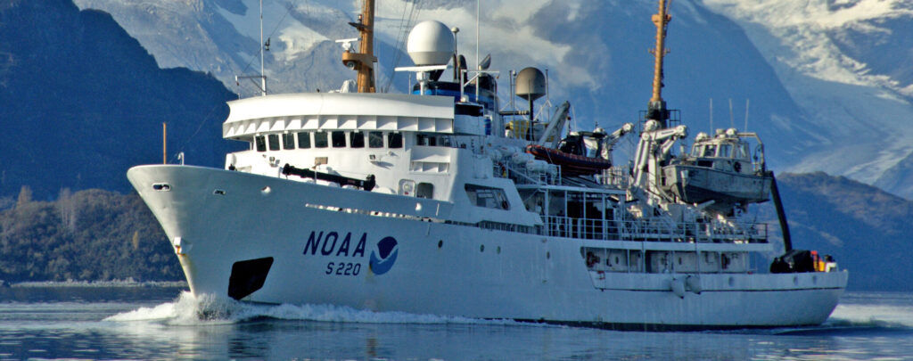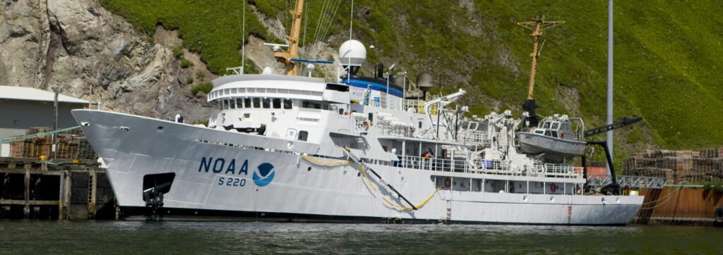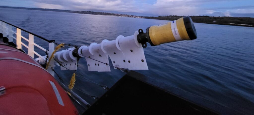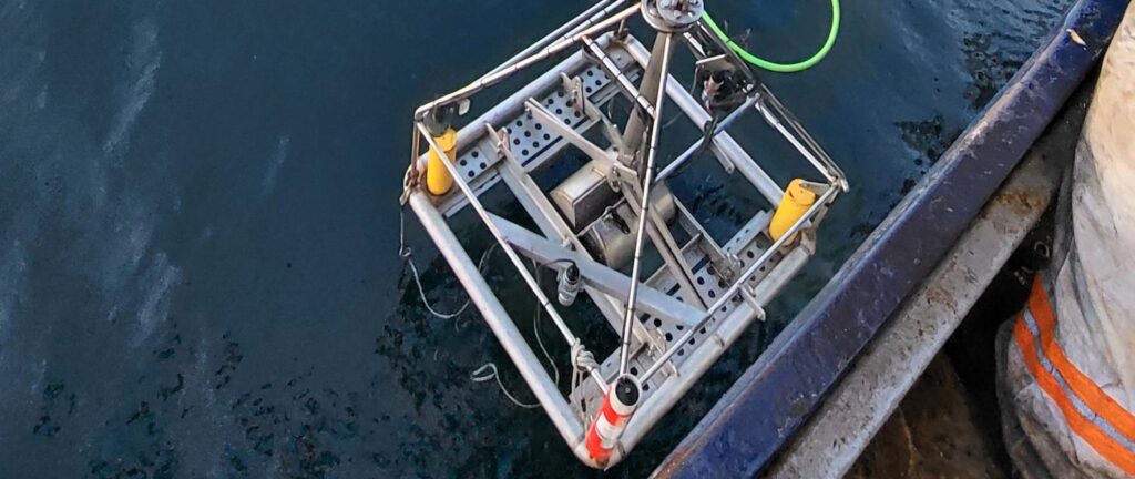

When Sonardyne's Ranger USBL system was launched in 2006, one of the first users was the Alaska Fisheries Science Center. Today, the need to understand seabed habitats off Alaska – and beyond – is still as crucial as it was then. Incredibly, as we celebrate 20 years of Ranger, the center's Ranger system – and our first-generation digital transceiver, the GDT – is still going strong. Dr Bob McConnaughey, who took on that first system, reflects on the centre’s need for positioning and how it’s evolved.
Dr Bob McConnaughey:
At the Alaska Fisheries Science Center (AFSC) (part of NOAA’s National Marine Fisheries Service (NMFS)) the journey into underwater positioning really began with a problem we couldn’t ignore. Back in the late 1990s, when Essential Fish Habitat requirements were added to the Magnuson–Stevens Fishery Conservation and Management Act (of 1976), it fundamentally changed how we approached fisheries science.
It was about answering a simple scientific question: where are fish, what do they live on, and how does fishing change those places? This is important to Alaska. Our fisheries are among the most productive in the world, supporting livelihoods and communities across the state.
We had decades of solid fish abundance data in the eastern Bering Sea—but almost nothing on the seabed characteristics—bedforms, sediment texture—those fish depended on. And if you’re trying to understand ecosystems, that’s a pretty big gap.
That realisation raised a practical problem: how to characterise seabed habitats across, specifically, a trawl survey area of roughly 500,000 square kilometres in the eastern Bering Sea.