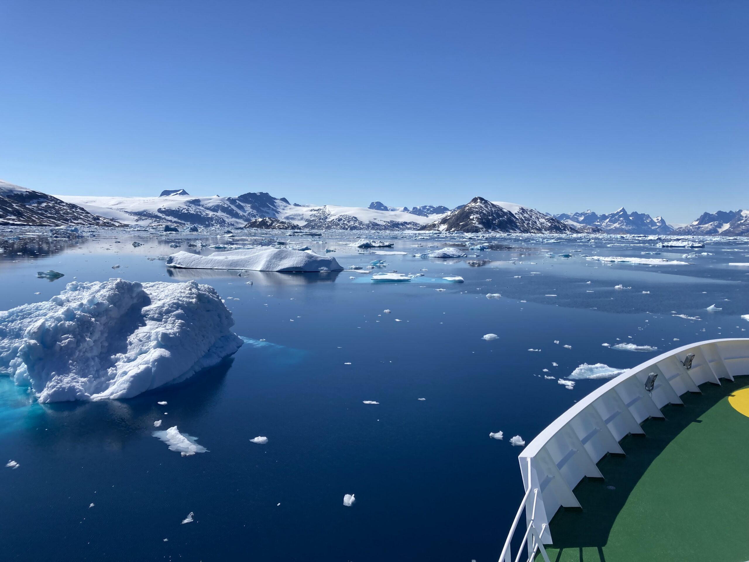
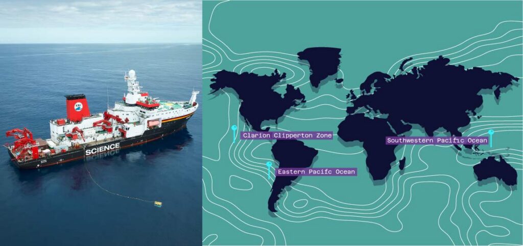
Sonardyne
Support Centre

Deep‑ocean accuracy for Germany’s research vessel fleet

Germany's blue-water research vessel fleet ranks among the world's most advanced and capable when it comes to ocean-going science.

This reputation and capability will deepen further this year, when the new, 125 m-long Meteor IV research vessel is delivered – ready for scientific missions around the world, across Atlantic, Pacific and Indian Oceans, as well as the Mediterranean.

Operated by GEOMAR Helmholtz Centre for Ocean Research Kiel, Meteor IV will bring a larger, globally capable, climate‑focused flagship with significant laboratory and deck capacity into Germany’s fleet.

It’s capable of covering 5,000 nautical miles, spending 52 days at sea, with 36 crew and 35 scientists able to work in 17 specialised laboratories over 585 sq m.

Science with precision

Underpinning its impressive scientific capability is the precision with which it can pinpoint, track and communicate with underwater equipment—enabling scientists to map, survey, sample and monitor the deep ocean.

This is why Meteor IV, like its sister ships the RV Sonne and RV Maria S. Merian, will come fitted with our Ranger 2 Ultra-Short BaseLine (USBL) positioning system.

Ranger 2 USBL enables precise real-time tracking of remotely operated vehicles (ROVs), autonomous underwater vehicles (AUVs), towed platforms and sensors and other deployed instruments to ranges of beyond 7,000 m.


Join the expedition

Ahead of the Meteor IV entering the fleet, here’s a look at some of the work its sister ships have been doing, with the support of Ranger 2 USBL.

RV SONNE in the Indian Ocean. University of Hamburg / LDF / Photo by Tim Kalvelage.

RV Sonne

RV Sonne is a deep‑sea research vessel, about 116 m long and built in 2014 for multidisciplinary work mainly in the Pacific and Indian Oceans.

Clarion Clipperton Zone, Pacific Ocean – Biogeochemical and biological assessment of deep-sea mining crater

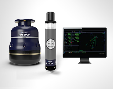
Earlier this year, the RV Sonne recently completed an expedition to the Clarion‑Clipperton Zone in the Pacific Ocean to assess the impacts of deep sea mining trials on the seafloor from 2021. Ranger 2 USBL was used to track equipment, including the ROV Odysseus (on dives lasting up to 56 hours!), benthic chambers and sampling platforms, down to the seafloor in about 4,000 m water depth.

Although the scientists were able to use a visually-guided multi-corer, they had to rely on the USBL system alone to accurately position the box-corer onto caterpillar tracks left in 2021. This was particularly necessary to gain larger volumes of sediment required to reach macrofaunal abundances that are statistically significant. Learn more

Southwestern Pacific Ocean – Hydrothermal vent system research

Ranger 2 was used to position the ROV Kiel  6000 during deep‑sea dives, allowing it to navigate accurately enough to reveal a previously unknown hydrothermal vent system, at around 1,300 m water depth, in the Tabar–Lihir–Tanga–Feni island chain of Papua New Guinea. During the expedition (SO299), this precise positioning helped researchers discover the unusual “Karambusel” field, where hot mineral‑rich fluids and methane‑rich gases rise side‑by‑side—an environment not seen anywhere else in the world. Learn more

Eastern Pacific Ocean – Tracking tectonic strain

GEOMAR’s work from the RV Sonne has involved deploying our long‑endurance AMT seabed arrays to monitor tectonic strain along the Nazca–South American plate boundary. These instruments, precisely positioned by Ranger 2 USBL across complex seafloor terrain, capture precise geodetic data from depths of 2,800 m to over 5,000 m. Ranger also reliably tracked and communicate with the instruments during subsequent survey and data‑recovery missions. Learn more

MERIAN in the Irminger Sea. Pictures from University of Hamburg / LDF / UHHN, by Verch.

RV Maria S. Merian

The RV Maria S. Merian is an ice‑strengthened research vessel, at 94.8 m long, and in service since 2006.

Atlantic Ocean, off Newfoundland – Collaboration with SAMS for Fetch AZA data retrieval (pre-existing other articles)

Ranger 2 was used to accurately locate and communicate with a Fetch AZA deployed on the seabed by the Scottish Association of Marine Science (SAMS). This enabled the crew to command and retrieve its long‑term oceanographic dataset during a 2024 transit in the North Atlantic, while it happened to be passing through the area. Ranger 2 allowed the crew to establish a reliable communications link with the Fetch AZA instrument, upload its stored measurements and confirm its status on the seafloor with shore-based colleagues, supporting ongoing monitoring efforts in the region.

Data from these sensors is discussed in a recent Geophysical Research Letters paper looking at the use of AZAs in physical oceanography. Learn more

Watch how SAMS is using Fetch

Norwegian-Greenland Sea – Hydrothermal vent research

Using the MARUM‑QUEST 4000 ROV, positioned using Ranger 2 USBL, scientists were able to pinpoint and explore a hidden hydrothermal vent system more than 3,000 m deep off Svalbard—an area where no such activity had ever been confirmed before. During expedition MSM109, this precise seafloor exploration revealed the newly named “Jøtul” field, a rare Arctic vent system emitting super‑heated, mineral‑rich fluids and unusually high methane levels—marking the first hydrothermal discovery along the 500‑km Knipovich Ridge. Learn more

Ionian Sea – Mount Etna Flank Movement

Ranger 2 was used to guide the search for five Sonardyne AMT geodesy stations deployed on the flanks of Mount Etna. This enabled the crew to accurately navigate to their positions at around 1,038 m water depth during the 2024 MSM132 expedition. Although the recovery ultimately failed due to issues with third‑party equipment, the precise acoustic positioning brought the team to within a metre of the first AMT station, demonstrating the reliability of the underwater tracking even under challenging conditions. Learn more

Ranger 2 Gyro USBL gives you a reliable, all‑in‑one way to track and communicate with your underwater equipment, whether that’s an ROV, AUV or seabed instruments spread across a study site.

Ranger 2 for ocean research

Its integrated design keeps positioning accurate and steady, even when the ship is moving, helping teams work efficiently in real‑world sea conditions.

Because it delivers dependable subsea tracking and two‑way data links, you can recover information, update instrument settings or navigate complex dives confidently—reducing vessel time and simplifying operations.

Focus on discovery, not on the tools needed to make it happen.

The METEOR IV. Photo from University of Hamburg / LDF / by Marc Petrikowski.

Meteor IV fact file   

Meteor IV is being built by the Meyer-Fassmer Spezialschiffbau consortium on behalf of Germany’s Federal Ministry of Research, Technology and Space (BMFTR)

The ship will replace the previous Meteor and the research vessel Poseidon.

GEOMAR will operate the ship, with its scientific missions planned by the German Research Fleet Coordination Centre (Leitstelle Deutsche Forschungsschiffe) at the University of Hamburg.

One of its first major scientific missions will be the one-year FUTURO research campaign off the west coast of Africa, investigating how climate change and human pressures are altering West Africa’s upwelling system and marine ecosystems.

Key numbers

Dimensions: Length: 125 m, width: 21 m
Maximum speed: 12 knots
Range: 15,000 nautical miles
Duration at sea: 52 days
Crew: 36 persons | Scientists: 35 persons

Total workspace

730 sq m dedicated to scientific purposes
including 585 sq m of laboratory space.
17 specialized labs, featuring climate chambers and atmospheric chemistry facilities for in-depth ocean-atmosphere interaction studies.

Key equipment

High-precision echo sounders
Research winches for depths up to 12,000 m with real-time fiber-optic video transmission
Five powerful cranes
Sonardyne Ranger 2 Gyro USBL

Payload capacity

Ample deck and container space for large gear like ROVs, AUVs, anchors and related equipment.