You know you need an Ultra-Short BaseLine (USBL) system, but which type of system do you need? It might not seem like an easy choice.
You know you need an Ultra-Short BaseLine (USBL) system, but which type of system do you need? It might not seem like an easy choice. This guide will steer you in the right direction, whether you’re looking to track your dive team, position a deep-rated autonomous underwater vehicle (AUV), or provide a safety critical position refence for Dynamic Positioning (DP).
At a glance
Which is the best USBL system to meet your needs?
- Diver tracking: → Micro-Ranger 2 USBL
- UXO survey or inspection ROVs: → Mini-Ranger 2 USBL (+ Gyro USBL if greater accuracy is required)
- Deep-water survey or DP operations: → Ranger 2 USBL (+ Gyro USBL 7000/7000+)
- AUV or USV fleets: → Mini-Ranger 2 or Ranger 2 with the Marine Robotics Pack
Understanding your USBL system needs
Identifying your operational category is the first step to help determine which Ranger 2 system is the optimal fit for you. Which is the best fit for you?
Light coastal users
Micro-Ranger 2 is your ideal option if you:
Operate divers, small remotely operated vehicles (ROVs) or towfish
Work in harbours, lakes, rivers or coastal zones
Need a portable, simple system deployable by 1–2 people
Value fast mobilisation over extreme precision
Nearshore operators
Mini-Ranger 2 is your ideal option if you:
Require survey accuracy up to 1,000m water depth
Conduct inspection, unexploded ordnance (UXO) survey, mine counter measures (MCM) or environmental work
Operate from small or mid-sized vessels
Sometimes support AUVs or ROVs and may require acoustic comms
Deep-water / offshore energy / defence users
Ranger 2 is your ideal option if you:
Work in deepwater, for example 1,000–11,000 m water depth
Need survey-grade accuracy with minimal allowable error, supporting deepwater ROV operations
Operate dynamic positioning (DP) vessels or large offshore ships
Track many subsea assets simultaneously
Support construction, drilling or defence operations
AUV / USV / robotic system operators
Micro-Ranger 2, Mini-Ranger 2 or Ranger 2 (with Robotics Pack) is your ideal option if you:
Command or track fleets of AUVs
Need acoustic comms (two-way messaging, mission updates)
Require INS-aiding for long-duration or deep-water missions
Supporting over-the-horizon uncrewed surface vessel (USV)-based data harvesting or robotics operations
Quick comparison: Micro-Ranger 2 vs Mini-Ranger 2 vs Ranger 2
| System | Use case / user type | Depth range | Tracking capability | Accuracy | Key advantages |
|---|---|---|---|---|---|
| Micro-Ranger 2 | Dive teams, coastal survey, small boats, education/training | Shallow water to ~995 m | <10 targets sequentially | Entry-level <5% slant range accuracy | Extremely portable, rapid deployment, low training burden supports robotics |
| Mini-Ranger 2 | Nearshore operations, UXO survey, inspection teams, mid-range ROV/AUV | ~995 m (extendable to 4,000 m) | <10 targets, simultaneously | Mid-level 0.2%–1.3% of slant range accuracy | Excellent balance of capability, portability and price; supports robotics |
| Ranger 2 | Offshore energy, deep-water survey, DP vessels, defence, construction | ~11,000 m | <99 targets, simultaneously | Highest 0.04% of slant range accuracy | Survey-grade precision, DP support, multi-vehicle control, deep-water resilience; supports robotics |
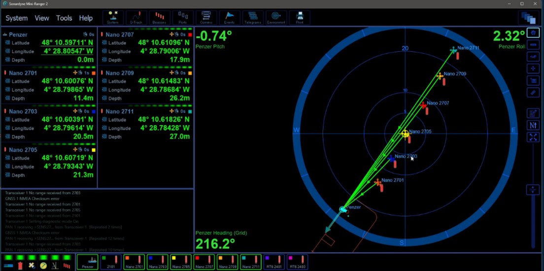
Micro-Ranger 2
Best for: Coastal users, diver tracking, training teams, universities
Simple, portable, entry-level “plug-and-play” USBL system
Fast mobilisation; minimal calibration
Ideal for light, irregular or seasonal tasks
Fits in a single case; deployable from a small boat or jetty
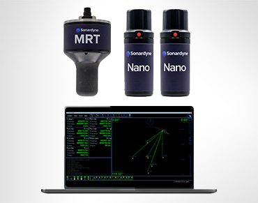
Mini-Ranger 2
Best for: UXO survey teams, MCM, nearshore contractors, inspection-class ROVs, small AUV ops
Higher tracking performance than Micro-Ranger 2, but still portable
Tracks multiple vehicles simultaneously improving update rate
Can support AUV command-and-control
Perfect for recurring commercial operations requiring reliability
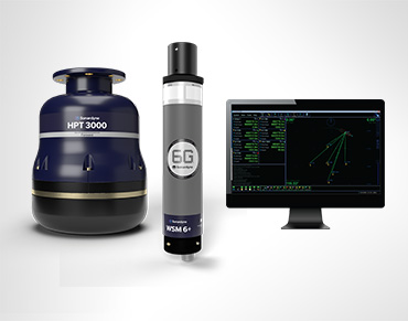
Ranger 2
Best for: Offshore survey, deep-water construction, DP vessels, energy operators, defence
Ultimate survey-grade precision and range in all water depths
Designed for multi-asset tracking on large vessels
DP reference integration
Supports hundreds of operational scenarios, from construction survey to full ocean depth scientific research and naval defence operations.
Optional add-ons
Gyro USBL transceiver:
Improves accuracy by combining USBL and AHRS/INS in one unit.
Who needs it:
- Surveyors
DP operators
USV operators
Deep-water specialists
Benefits:
- No need for a calibration
Removes alignment and mounting pole-bend errors
Speeds up vessel mobilisation
Enhances accuracy in noisy or dynamic environments
Marine Robotics Pack:
Upgrades Micro-Ranger 2, Mini-Ranger 2 and Ranger 2 for advanced robotics.
Who needs it:
- AUV/USV operators
Research robotics teams
Long-range autonomous missions
Benefits:
- Two-way acoustic messaging
Vehicle tasking and mission commands
INS aiding for reduced drift
Multi-vehicle control (swarming, fleet operations)
Cutting through the jargon!
If you’re not sure what some of the terms mean in our guide, here is a helpful summary.
| Term/acronym | Full form/meaning | Explanation |
|---|---|---|
| USBL | Ultra-Short BaseLine | An underwater acoustic positioning system that uses a tightly clustered array of hydrophones to calculate range and direction to underwater transponders |
| AUV | Autonomous underwater vehicle | A robot that travels underwater without requiring real-time input from an operator; operates independently |
| Hydrophones | – | Underwater microphones that detect sound waves in water |
| Transceiver | Transmitter-receiver | A device that can both transmit and receive signals |
| Transponder | Transmitter-responder | A device that receives a signal and automatically transmits a response |
| ROV | Remotely operated vehicle | An underwater robot controlled by operators on the surface via a cable |
| Towfish | – | A towed underwater device, typically used for surveying |
| UXO | Unexploded ordnance | Military munitions (bombs, shells, mines) that failed to detonate and remain dangerous |
| MCM | Mine counter measures | Military operations to detect, identify and neutralise naval mines |
| DP | Dynamic positioning | A computer-controlled system that automatically maintains a vessel’s position and heading using thrusters |
| USV | Uncrewed surface vessel | An autonomous or remotely operated boat that operates on the water surface without crew onboard |
| INS | Inertial navigation system | A navigation system that uses motion sensors and rotation sensors to calculate position without external references |
| AHRS | Attitude and heading reference system | A system that provides orientation information (pitch, roll, yaw) for vehicles |
| Slant range | – | The direct line-of-sight distance between two points at different depths (not horizontal distance) |
| Acoustic comms | Acoustic communications | Underwater communication using sound waves rather than radio waves |
| INS-aiding | – | Providing corrections to an inertial navigation system to reduce accumulated position errors (drift) |
| Pole-bend errors | – | Positioning errors caused by flexing or bending of the mounting pole/structure supporting the USBL transceiver |
Which USBL system do I need?
Quick self-assessment:
Choose Micro-Ranger 2 if you:
- Track divers or small ROVs in shallow water
- Work in harbours, lakes or coastal areas
- Need something portable that fits in one case
- Want simple setup by 1-2 people
- Don’t need pinpoint accuracy
Choose Mini-Ranger 2 if you:
- Do inspection work, UXO surveys or environmental monitoring
- Operate from small/mid-sized boats
- Need to track multiple vehicles at once
- Sometimes work with ROVs or AUVs
- Want better accuracy without breaking the bank
Choose Ranger 2 if you:
- Work in deep water (2,000+ metres)
- Need survey-grade precision for your data
- Operate from large vessels with dynamic positioning
- Track many subsea assets simultaneously
- Work on offshore construction, energy or defence projects
Consider adding:
- Gyro USBL if you need better accuracy or work from moving vessels
- Marine Robotics Pack if you operate autonomous vehicles and need to send them commands underwater
Bottom line:
Think about your depth, accuracy needs and how portable you need the system to be.
Start with Micro if you’re coastal and casual, Mini if you’re a professional nearshore operator and Ranger if you’re going deep or need the best precision.