Sonardyne
Support Centre

Case Study:

Science Blog

Author:

Elaine Maslin

Small ROV, big impact: transforming habitat restoration with precision imaging 

02032026

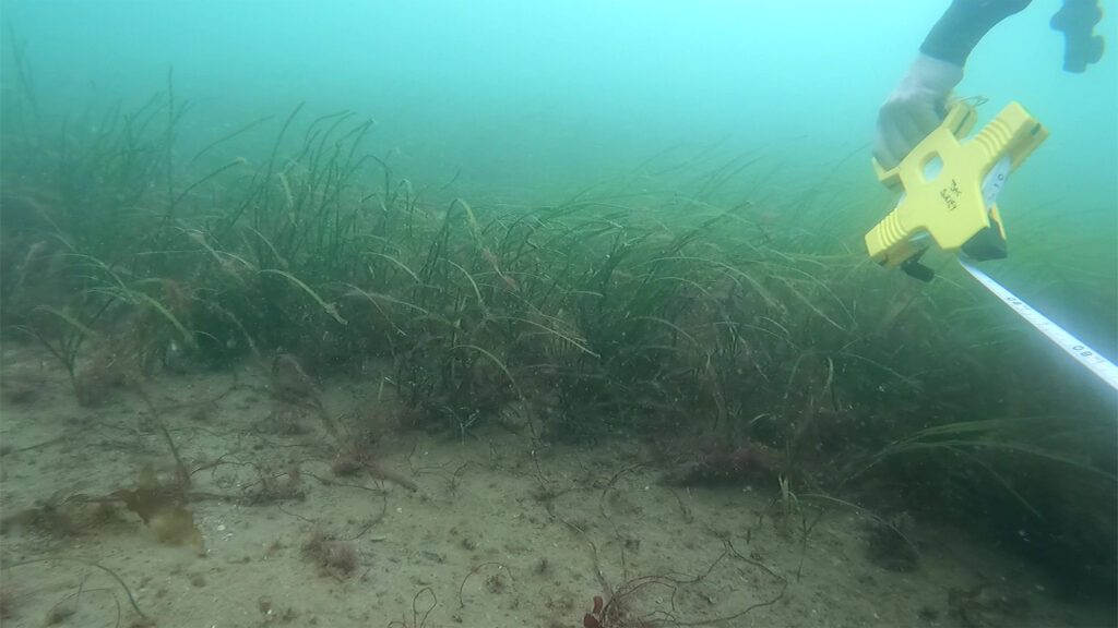
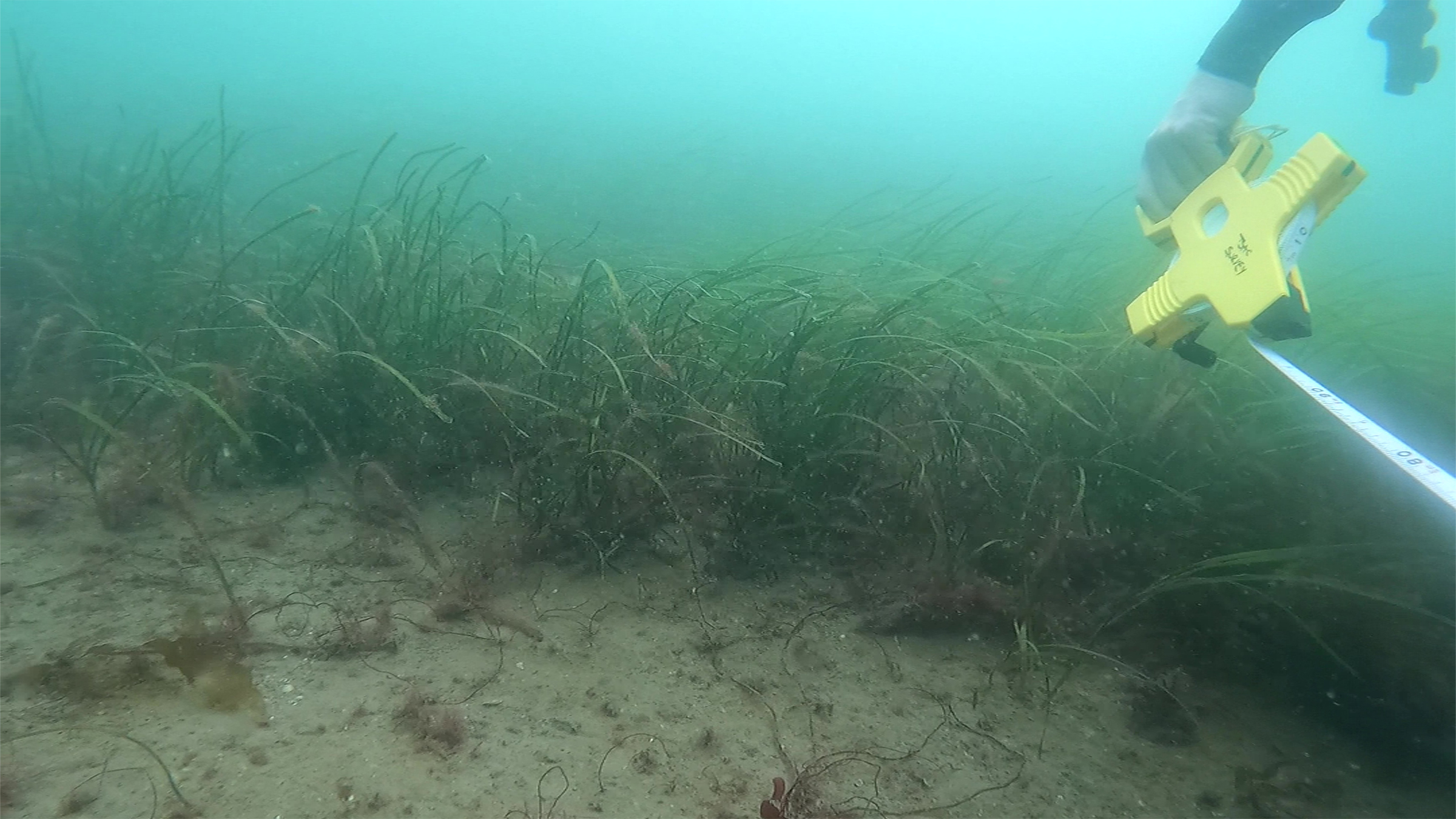
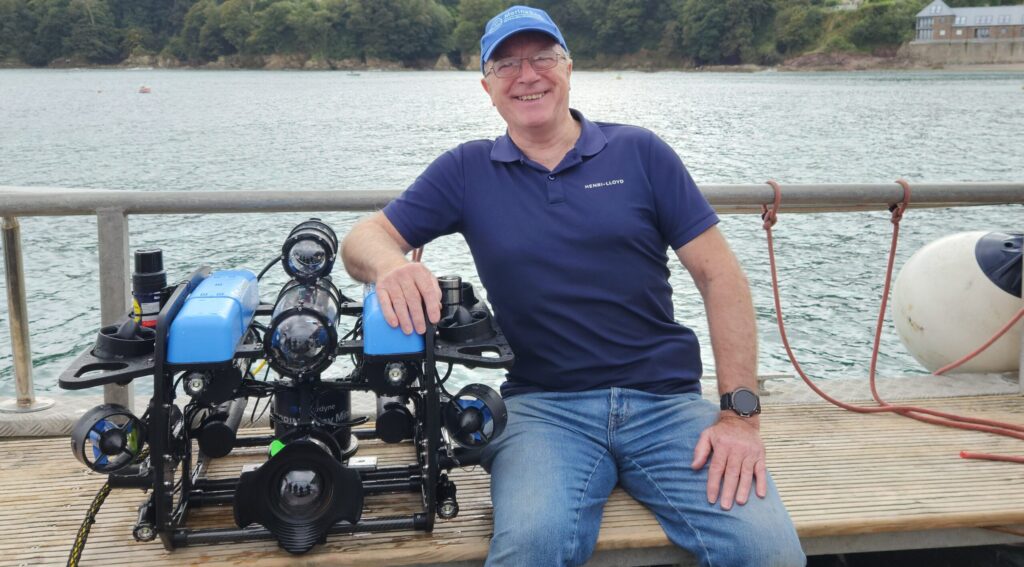
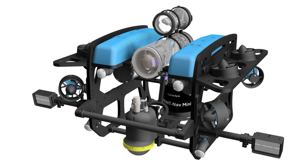
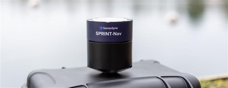
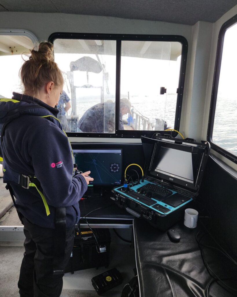
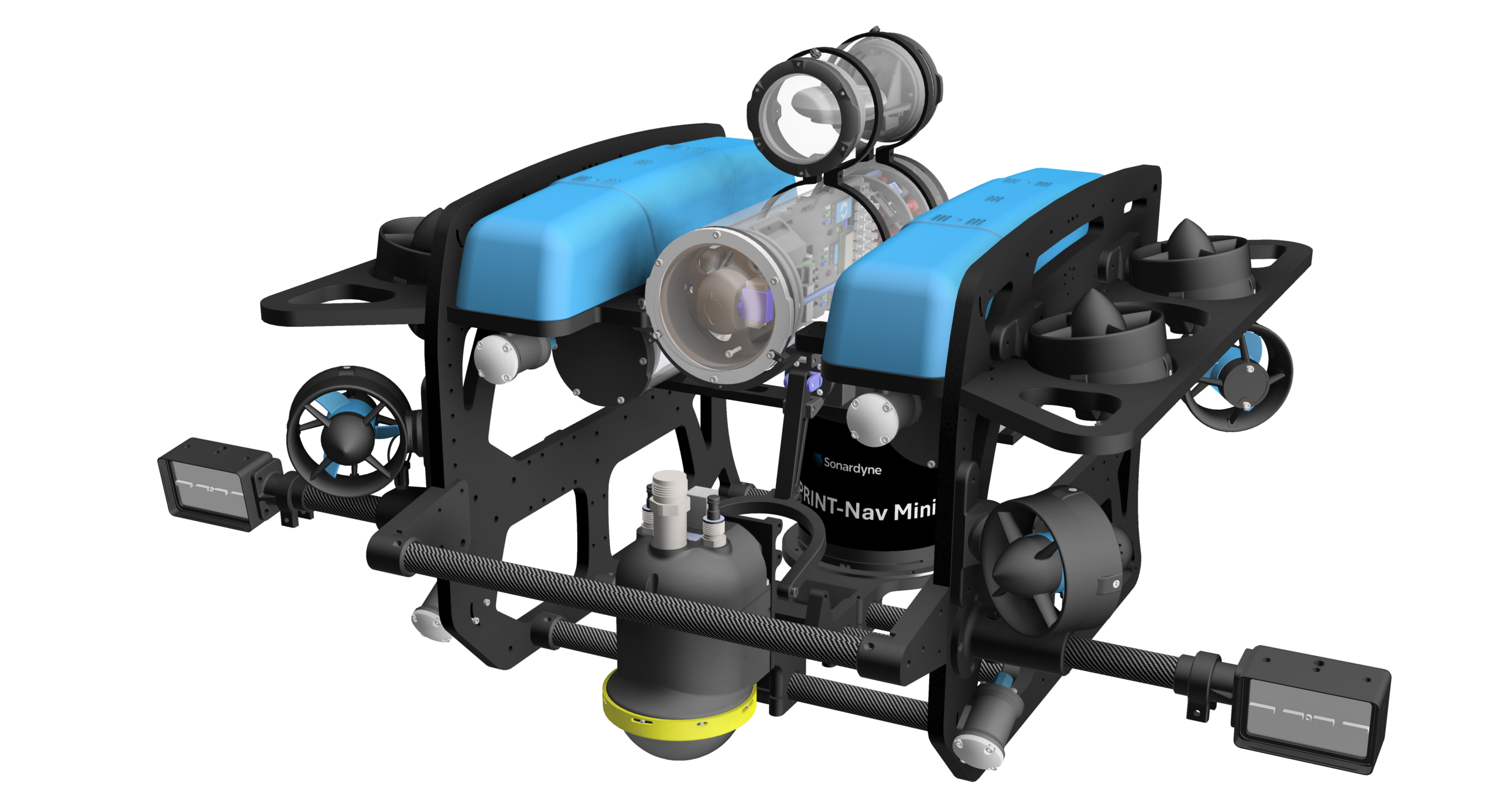
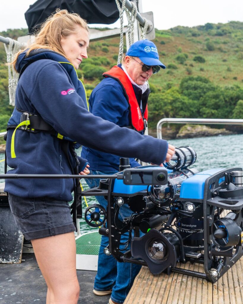
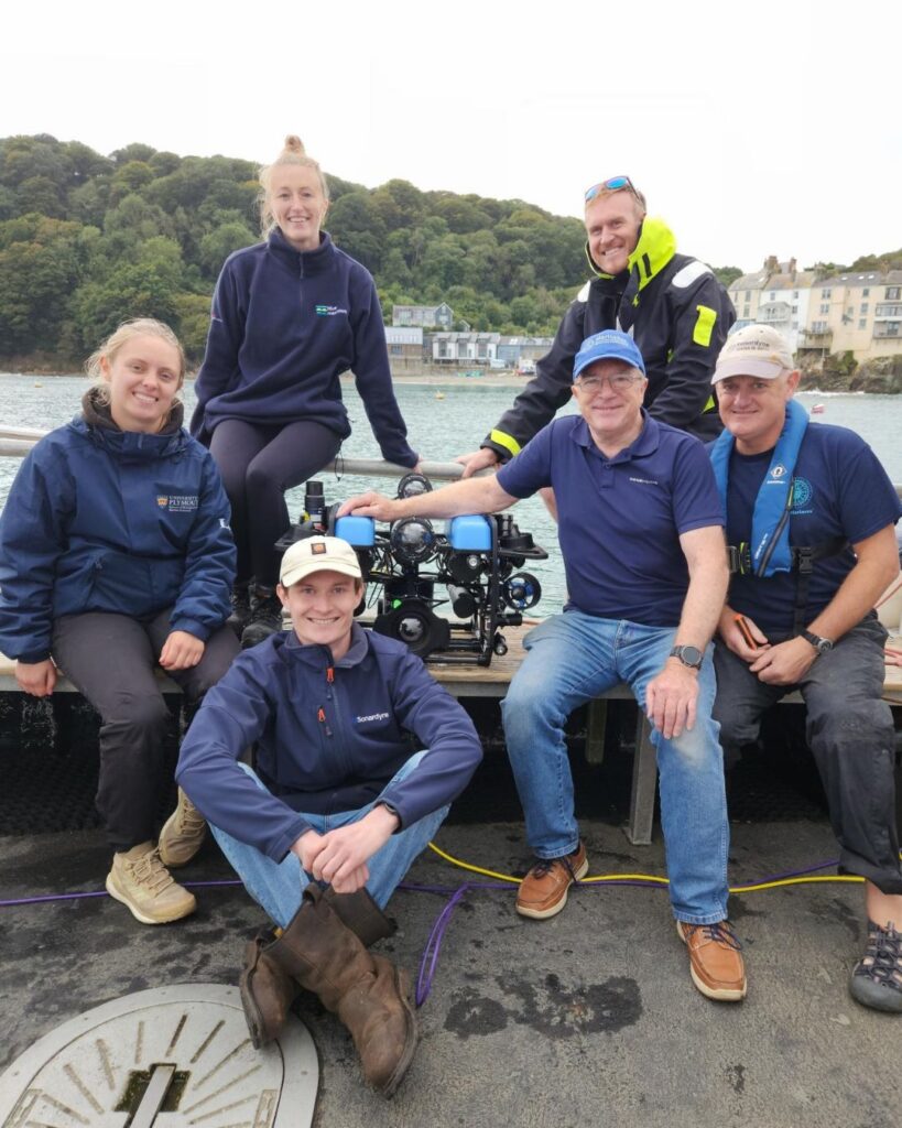
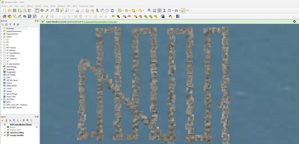
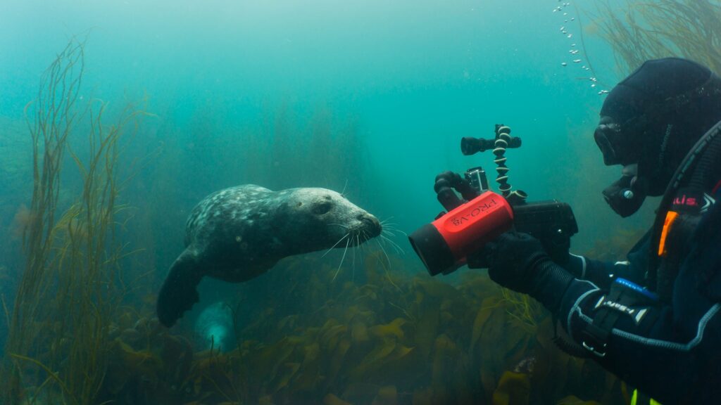
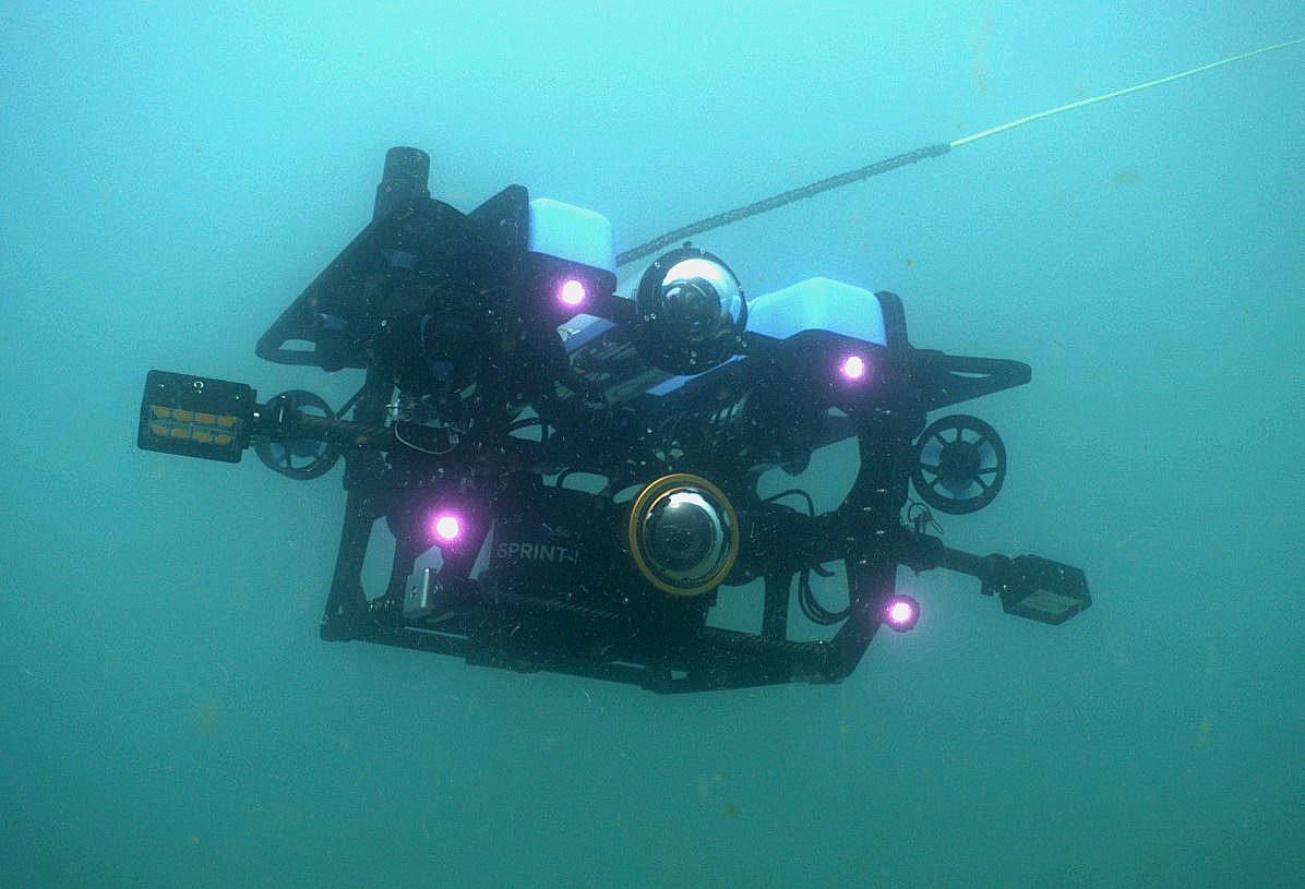
Knowing where seagrass is—and whether restoration is working—has been one of conservation’s biggest challenges. A purpose-built ROV developed through a unique collaboration with Sonardyne is now giving the Ocean Conservation Trust a clearer view below the surface, transforming how these habitats are monitored.

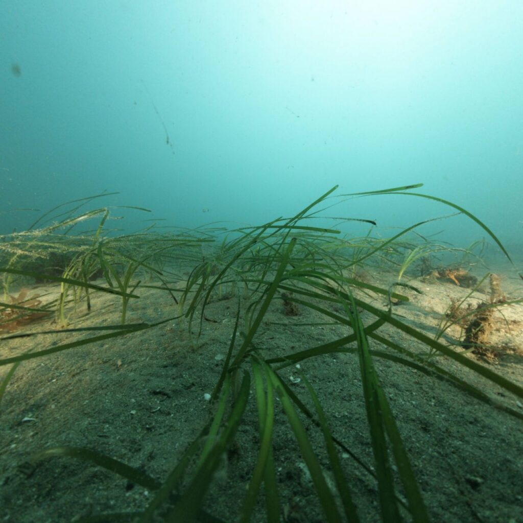
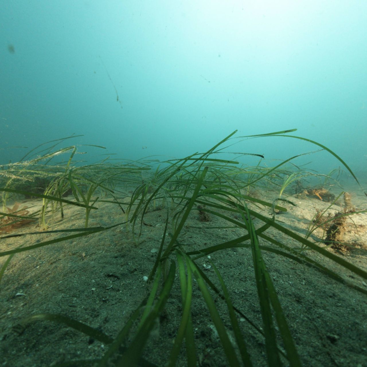
Beneath the surface of the UK’s coastal waters lies an unsung hero: seagrass meadows. These underwater habitats absorb carbon up to 35 times more efficiently than tropical rainforests and support vast marine life.

A single hectare can shelter 80,000 fish and 100 million small invertebrates, including rare species like seahorses and stalked jellyfish.

Yet seagrass is one of the fastest disappearing coastal habitats on Earth. In the UK, up to 90% of meadows have been lost to pollution, disease and physical damage. For the Ocean Conservation Trust (OCT), restoring these “Blue Meadows” is a race against time—made harder by the realities of working underwater.

Seagrass
Seagrass

Location, location, location

Seagrass meadow restoration is not just about planting, it depends on knowing whether new plants are surviving and where they are.

Until now, diving activity is often simply a single point on a map. However, even when divers are tracked with surface GPS buoys, currents and waves can shift positions by up to 20 m. In low-visibility waters, that margin of error can mean sites are never found again.

Without repeatable surveys, based on underwater precision and being able to return to the same patch of seabed, time after time, progress is hard to prove and improvement hard to plan.

From hobby to a new standard in marine monitoring

When OCT approached Sonardyne with this challenge for their Blue Meadows habitat restoration work, we knew someone who was already working on a solution.

In his spare time, semi-retired Sonardyne project manager Andy Marsh was developing a small, remotely operated vehicle (ROV) able to take geolocated underwater imagery using our SPRINT-Nav Mini navigation technology.

With backing from the Sonardyne Foundation, Sonardyne and sister Covelya Group company, underwater imaging specialists Voyis, Andy’s hobby became a collaboration to transform seagrass meadow mapping and monitoring.

The result? Together, for OCT, we’ve developed a small ROV that’s able to take photographs of the seabed that are geotagged with centimetre-level accuracy.

Andy Marsh with the BlueRobotics ROV

The system, built around Blue Robotics ROV, fully integrated with a SPRINT-Nav Mini and Voyis’ Observer Vision Series (previously known as Discovery Mono Camera), has been donated to OCT.

This year, following successful trials, it will be enabling them to perform precise mapping and taking a big leap in monitoring of seagrass habitats.

This will include work on major upcoming projects being planned by OCT, as well as mapping previously undocumented seagrass beds and helping to “ground-truth” a wider suite of mapping techniques.

Solving the underwater positioning problem

“This technology is truly ground-breaking for us,” says Mirriam Webborn, the Blue Meadows Habitat Monitoring Officer at the OCT. “The fundamental problem has been that GPS simply doesn’t work underwater. When we use traditional divers or drop cameras, wind, waves and currents can easily push you 10 to 20 m or more off-target, making it nearly impossible to return to the exact spot to monitor progress.

“For critical work like direct seed injection—where results are invisible for months—this lack of ‘repeatability’ means we are often searching bare sand, unable to quantify if our restoration efforts have truly taken root.

“With the ROV, we can now achieve centimetre precision, which significantly exceeds the accuracy of any other method of monitoring seagrass sites we’ve used. This is transformative in terms of repeatability, allowing us to return to the exact same spot to monitor restoration progress.”

Core system integrations

The system achieves centimetre-level accuracy through the seamless integration of several technologies:


  • Initial GNSS (such as GPS) Fix: A GNSS (global satellite navigation system) antenna is mounted on top of the ROV to establish an exact starting position while the vehicle is still on the water’s surface and able to receive GPS signals and timing for initialisation.
  • SPRINT-Nav Mini: a hybrid navigation instrument for underwater vehicles like ROVs, as well as autonomous underwater vehicles (AUVs) – or anything that needs to know where it is underwater. Once the ROV submerges and loses the GPS signal, SPRINT-Nav Mini takes over using “dead reckoning”. It uses its integrated inertial navigation system (INS) and Doppler velocity log (DVL) sensors to track the vehicle’s precise movements to provide latitude and longitude coordinates.
  • NavSync Pro: a Sonardyne software extension linking SPRINT‑Nav Mini’s navigation with the ROV’s ArduSub/ArduPilot control stack software and hardware for precise subsea positioning and control, including autonomous flight paths, like predetermined “lawnmower” or zigzag patterns, using QGroundControl software.
  • Geotagged imagery: As the ROV follows its path, a high-resolution Voyis Observer Vision Series camera captures images of the seabed. Each photograph is automatically geotagged with the exact coordinates provided by the navigation system, ensuring every image has a “real world” location.

These pictures can then be dropped into mapping software allowing organisations like OCT to overlay environmental data—such as depth, temperature, and light—to produce a complete story of the habitat’s health over time.

Quantifying restoration progress

For Andy, it’s been quite a journey. “I’ve filmed marine life for 30 years as a hobby,” he says. “When I reached my 70s and wanted to stop diving, an ROV was the answer to my prayers to keep filming. But I realised that I never knew exactly where the images I took were taken.

“Even with the ROV, I still didn’t know. A SPRINT-Nav Mini and a GNSS antenna solved that. Then, for OCT, we were able to add the Voyis camera. It’s a fantastic result. We can return to exact spots and finally quantify restoration progress with highly precise high-resolution imagery.

“When you’ve got all this data, you can literally drop all the pictures on top of Google Maps, and it pops them all onto the seabed for you. You can then overlay things like depth, temperature, and water quality on top of that to produce a complete story of what’s happening down there.”

In fact, Voyis’ Observer camera imagery is of such high resolution, even in the poor visibility and sometimes murky conditions typical of UK waters where seagrass grows, that researchers can identify specific health metrics of the seagrass. This includes shoot coverage, animals living within the seagrass and potentially even epiphytes (organisms growing on the plants) or wasting disease.

The imagery will be used to ground-truth seabed features and generate 3D models for accurate habitat assessment and so much more.

Ben Wilson, Senior Image Processing and Computer Vision Engineer, at Sonardyne, developed the NavSync Pro software to bring the system – and any ROV which is ArduPilot based – to life.

“With NavSync Pro, small ArduPilot enabled ROVs can now become very powerful tools for teams like OCT by pairing surface GNSS and precise underwater positioning with one of our SPRINT-Navs to enable autopilot functionality. Add the Voyis Observer Vision Series camera for crystal-clear, geotagged seabed imagery and you’ve got a game-changing tool for marine mapping and surveying, including monitoring, reporting and verification projects.”

Raising the standard for seagrass monitoring

“This year (2026), the ROV will be our eyes underwater for our seagrass restoration projects,” adds Miriam. “Before planting begins, it will help us understand the exact condition of the seabed, and once the seeds are in, we’ll use it to monitor progress with centimetre-level precision.”

This includes a planned multi-year, collaborative project in Falmouth, which will be the UK’s largest subtidal seagrass restoration effort.”

The ROV will also be particularly important as OCT continues to trial various restoration techniques in its Blue Meadow work.

It’s moved from seed bags to hessian or coir (made from coconut husk) seed mats (where seeds are grown to adult stage in a lab) and most recently a direct seeding injection device, or hydro marine seeder, called OCToPUS (Ocean Conservation Trust o Pressurised Underwater Seeder), which injects a seed-and-sand agar jelly directly into the seabed.

“We are currently trialling a combination of these techniques to determine which is most effective under various conditions,” explains Miriam. “This testing is critical as we prepare for our next projects where, following baseline monitoring, we will use our findings to apply the best combination of methods. And the ROV’s accuracy is central to all of this work.

“We’ll also map previously undocumented seagrass beds, validate different mapping techniques, and move toward automated processing of the thousands of images it collects. Beyond our immediate work, there’s real potential to demonstrate this technology to partners internationally, helping to raise the standard for seagrass monitoring everywhere.”

Following the project’s success, Andy also has a new role. He is now working part time once again at Sonardyne helping to refine marine robotic system solutions for the industry.

Learn more about the Ocean Conservation Trust. 

NavSync Pro in detail

NavSync Pro is an application which can aid users with aligning a SPRINT-Nav by consuming a GNSS receiver serial input and providing this information to the SPRINT-Nav.

Once the SPRINT-Nav has been aligned and is ready to provide position updates, the proprietary Sonardyne protocol, HNav, can be consumed by the application and then provide an ArduPilot based ROV with position and changes in velocity updates.

These updates allow the ROV to then perform a multitude of tasks. Firstly, the user will get real-time position updates on a map of the ROV, which is useful when piloting the vehicle. Secondly, the user can draw a pattern or set a waypoint and the ROV will be able to navigate these. This is very useful when wanting to perform repeatable inspections.

Finally, the ROV will be able to perform position hold, this means that the ROV will not deviate in position in all axes. This is critical if the ROV is performing some kind of sensor capture and needs to remain stationary relative to an object, be it recording a video or collecting/analysing a water sample.

NavSync Pro is readily available for users via the BlueOS Extension Manager, for use on the BlueRobotics family of products.

Alternatively, the Docker image is available here for integration on other ArduPilot based ROVs.

The source code is also available here.

This application will work with the whole of Sonardyne’s SPRINT-Nav family, including the latest member, the SPRINT-Nav U, the world’s smallest hybrid navigator.

Case studies