The solution
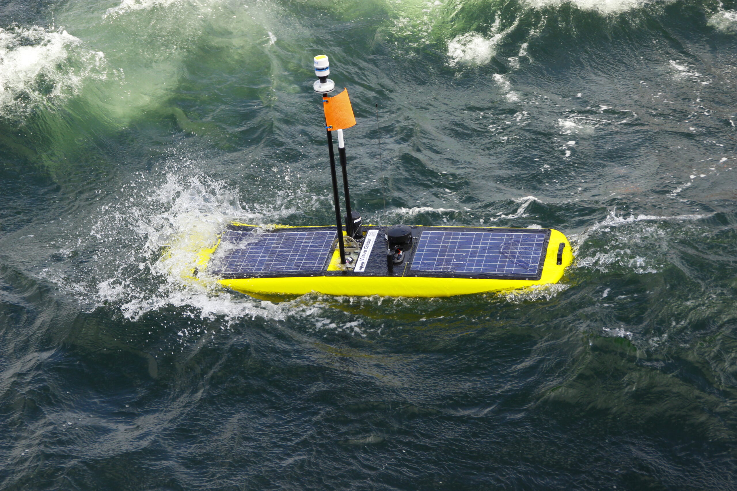
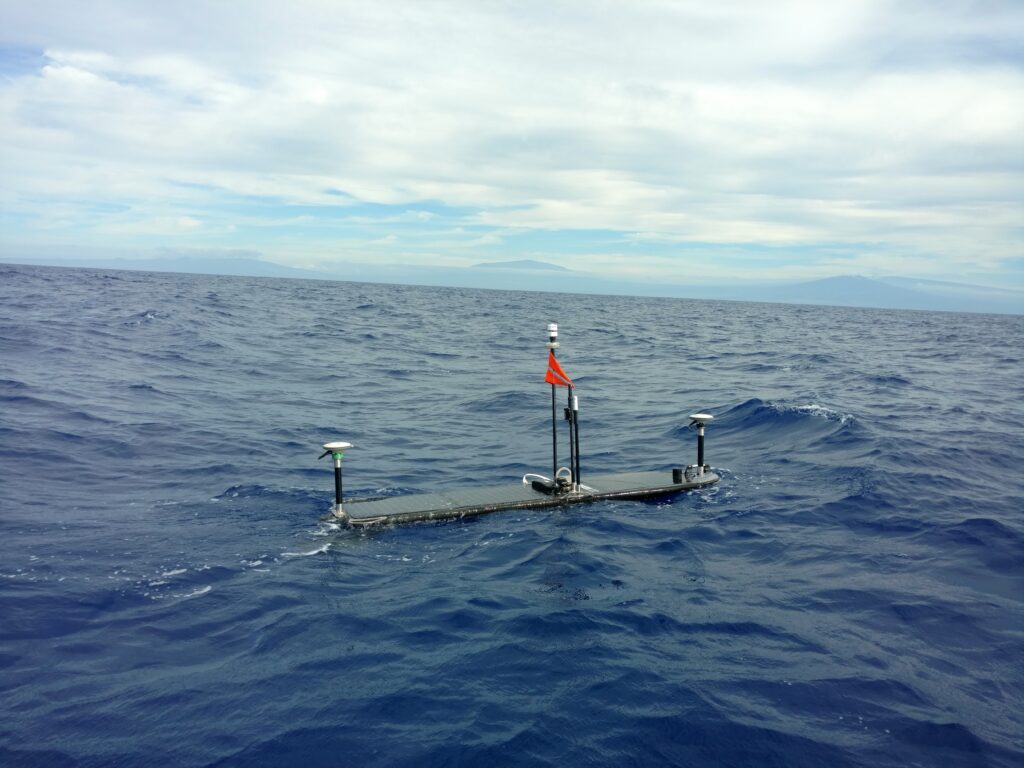
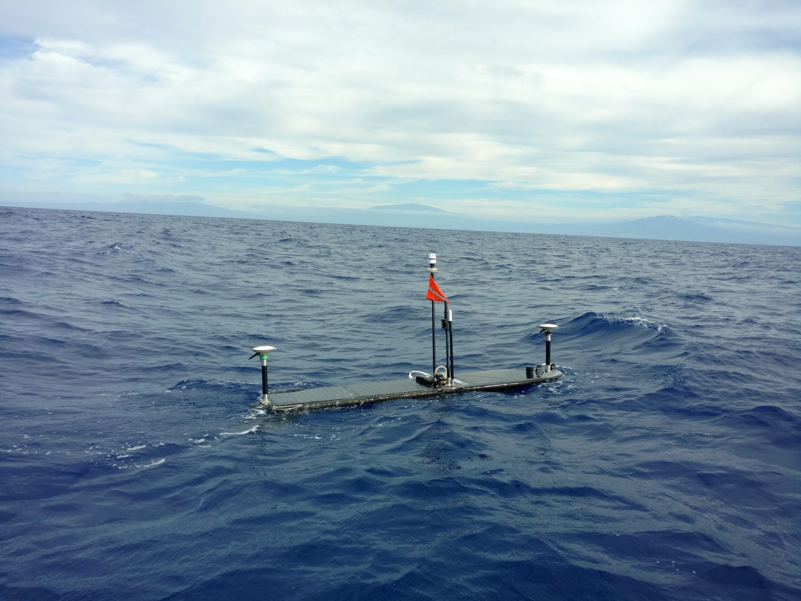
With long endurance instruments, such as Sonardyne’s Ambient-Zero-Ambient (AZA), which overcomes the inherent problem of pressure sensor drift, and a Wave Glider at the surface to position the transponders and transmit the data, there is now a viable alternative that provides near real-time awareness of plate tectonic activity.
Sonardyne’s Autonomous Monitoring Transponder(AMT) instrument is designed to autonomously and precisely measure horizontal and vertical displacement using thousands of range (distance between pairs of transponders), pressure (depth), sound velocity, and inclination measurements. Each unit runs a fully automatic data gathering and logging regime and can remain continuously deployed for up to 10 years.
Throughout a mission, the Wave Glider GPS-A payload records GPS logs in Receiver Independent Exchange (RINEX) format; a data interchange format for raw satellite navigation system data. This is a critical and unique part of the system’s ability to achieve millimetric precision.
By taking the GPS RINEX files and post processing this data with the corrected orbital paths of the GPS satellites themselves, it is possible to reduce the Root Mean Square (RMS) of the positioning by up to 30 times compared to typical GPS receiver accuracy.
Table 1 shows an Easting and Northing position scatter plot for an unmanned surface platform before (blue) and after (red) GPS-A post processing. The data was captured during a trial at Sonardyne’s research facility in Plymouth.
Similarly in Table 2, the plot shows a surface height comparison over a complete tidal cycle. Once again, the data in blue shows the raw observations, whilst the data in red provides the RINEX post processed results.
With these advances in technology, seafloor geodesy projects have sprung up around the world, in particular around the Ring of Fire in the Pacific basin where some of the most powerful earthquakes originate.
Study of the Cascadia Subduction Zone, research into the workings of the Mentawai Seismic Gap and geodetic observations of the Nazca-South American Plate Boundary are all using technologies developed by Sonardyne and Liquid Robotics.
Dr. David Chadwell of Scripps Institute of Oceanography selected Sonardyne’s Fetch instrument for the seabed component of his study of the Cascadia Subduction Zone. The Fetch has functionally equivalent to the AMT but with a much bigger battery that enables 10 year deployments. This has provided a more cost-effective platform to collect data. Their original plan to use a diesel powered buoy was also upgraded when the advantages of the Wave Gliders in terms of mobility and longevity were recognised.
Studies of the Mentawai Seismic Gap by Dr. Sylvain Barbot, Dr. Emma Hill, and Dr. Sharadha Sathiakumar of the Earth Observatory in Singapore, is being supported by quipping Wave Gliders with GPS-A technology. This is enabling them to monitor seafloor deformation off the coast of Sumatra. An unmanned platform is essential, as regular surveys using research vessels are just too expensive.
The Nazca-South American Plate Boundary has had a seafloor geodetic network of AMTs installed at key points ranging in depth from 2,600 – 6,000 metres. Rather than using absolute GPS-A measurements, the relative movement of the AMTs to each other is measured using the on-board pressure sensors and acoustic ranging between the AMTs.
The other key component of the Nazca-South American Plate Boundary network is a GPS-A equipped Wave Glider. Operating autonomously at the surface, the vehicle holds position above the seafloor stations, monitors system health, uploads data from the seafloor node, and transfers it back to shore via satellite – allowing the research vessel to focus on other more valuable tasks and facilitating the cost-effective retrieval of data from the seafloor.