In his first blog on monitoring the restless earth, Geraint West, Global Business Manager for Ocean Science, explained how scientists are able to measure underwater ‘avalanches’, or oceanic turbidity currents using our Autonomous Monitoring Transponders (AMTs). In this second blog, of a three-part series, he explains how the same versatile instruments are being used to measure underwater landslides down the sides of Mount Etna, an active stratovolcano on the east coast of Sicily, Italy.
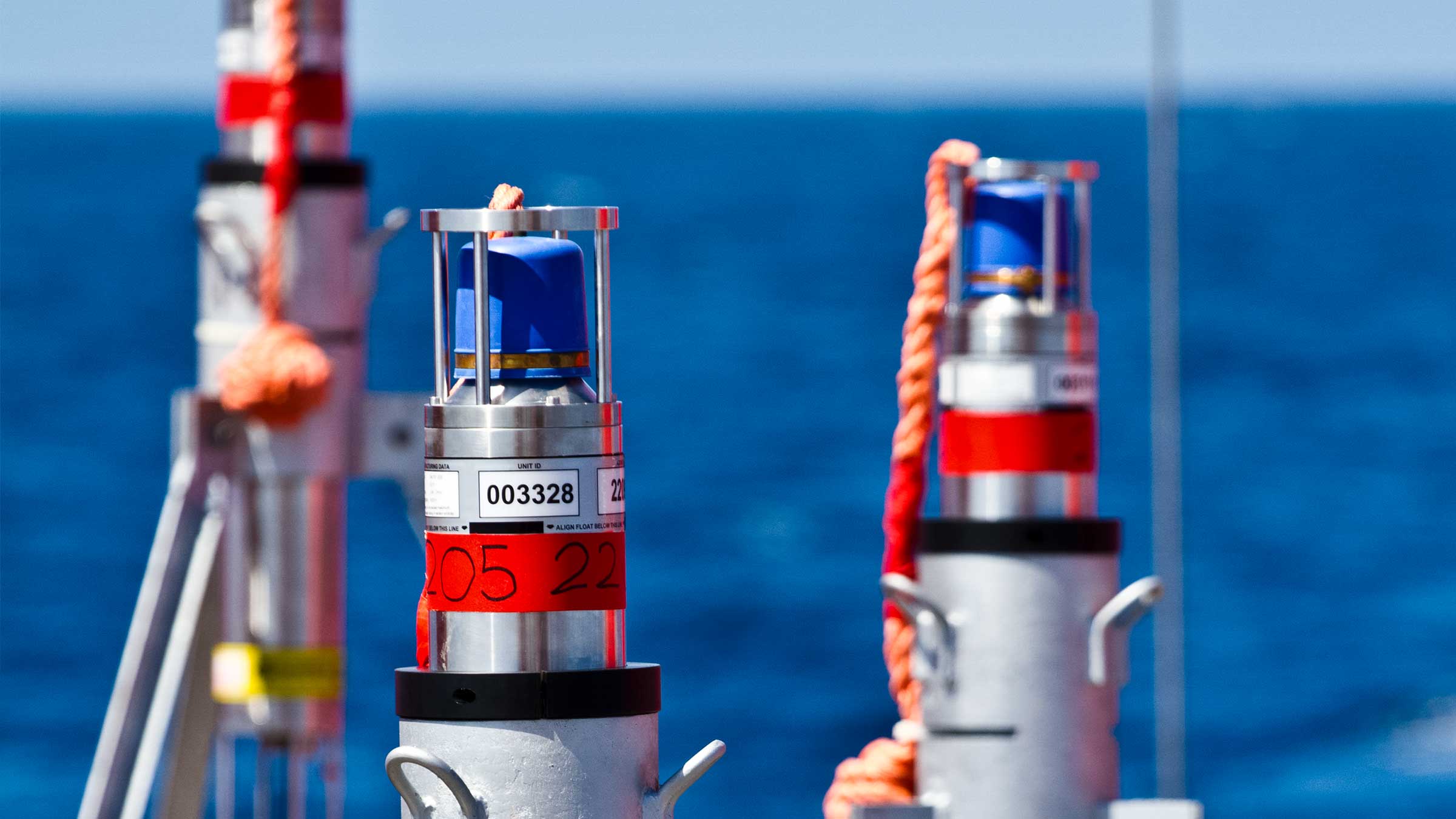
GEOMar Mt. EtnaI’ve previously outlined, the deployment of an AMT network by the GEOMAR Helmholtz Centre for Ocean Research in Kiel to monitor deformation on the Nazca-South American plate boundary using direct ranging measurements with AMTs. Derived from Long BaseLine (LBL) acoustic positioning techniques, this involves acoustically measuring the change over time of the relative horizontal displacement between pairs of transponders, while integrated high-resolution pressure sensors measure the change in their relative vertical displacement.
This technique results in millimetric measurement of relative movement between transponders at a high temporal resolution, providing detailed information about seabed deformation over a local area.
Using this technique, GEOMAR measured underwater slippage of the southeast flank of Europe’s most active volcano, Mount Etna, for the first time between April 2016 – July 2017. Satellite observations have previously shown that the flank of the volcano is slowly sliding towards the sea. But, until a network of AMTs was deployed beneath the waves, it was impossible to confirm if and how the submerged segment was moving.
Fetch Scenario 2The GEOMAR array comprised a network of five AMTs placed astride of the fault in about 1,200m water depth. Three were on the presumed unstable flank and two on the adjacent stable slope. Measurements logged during a 15-month period confirmed that the entire flank of the volcano is in gravity-driven motion. In one event, the slope slipped about 4 cm in just eight days. The consequences are potentially dramatic.
“The entire slope is in motion due to gravity. It is therefore quite possible that it could collapse catastrophically, which could trigger a tsunami in the entire Mediterranean,” explains Prof. Heidrun Kopp, co-author of a paper on this project.
While there is still more work to be done towards fully understanding the processes at work on coastal volcano flanks, Dr. Morelia Urlaub, another study co-author, is excited about the potential to greatly improve understanding of these processes; “Our investigation shows that the sound-based geodetic monitoring network can be a tremendous help in this respect.”
Read the first blog here.