0
+
Monitoring instruments
Exports to
0
countries
Achieved in
0
carbon neutrality
Seabed and seismic
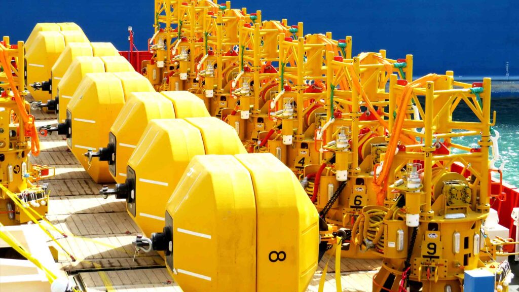
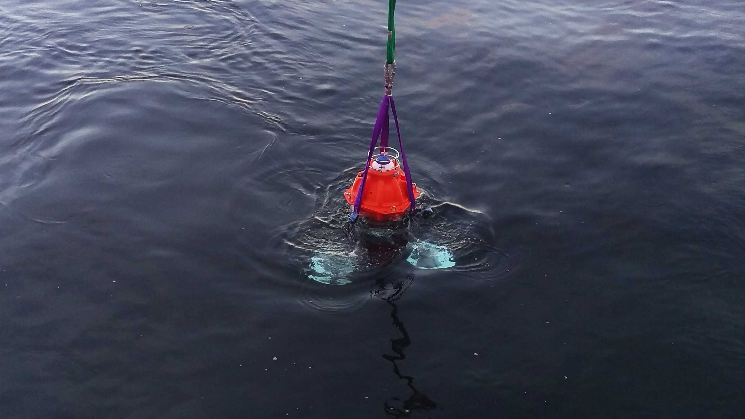
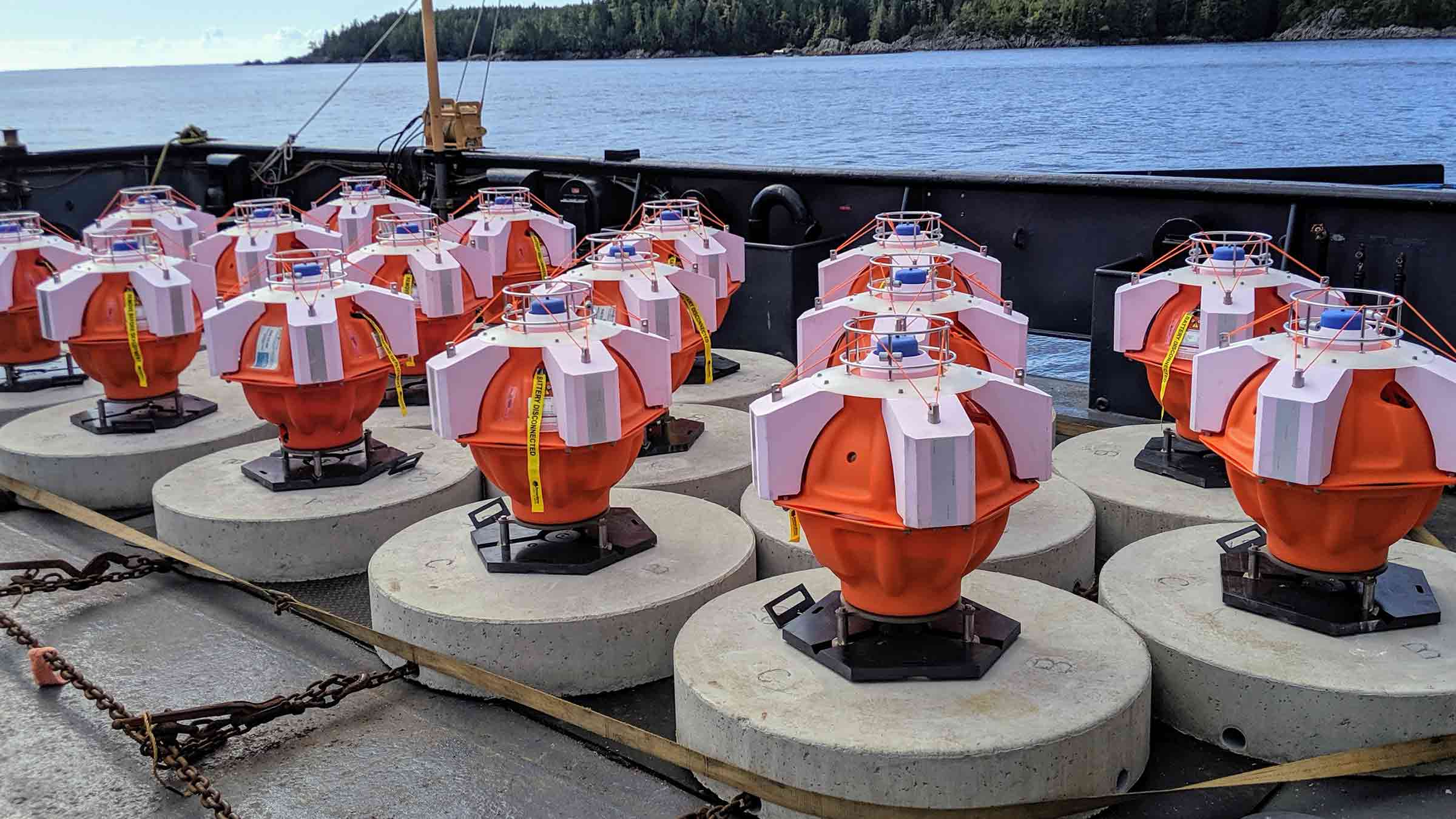
Developed over more than a decade and in use globally by the energy sector, our ‘game-changing’ seabed deformation monitoring technologies offer critical new understanding of seafloor movement and its impact on installed structures and reservoirs, including those used for carbon storage.
What our tech can do for you
•10 Years – Long-term unattended deployment and monitoring of the seabed
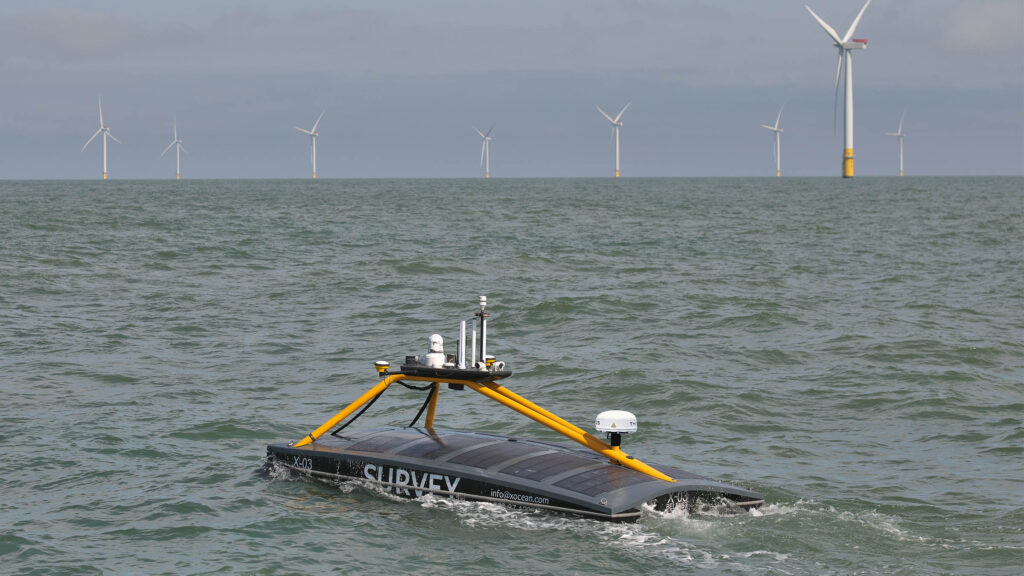
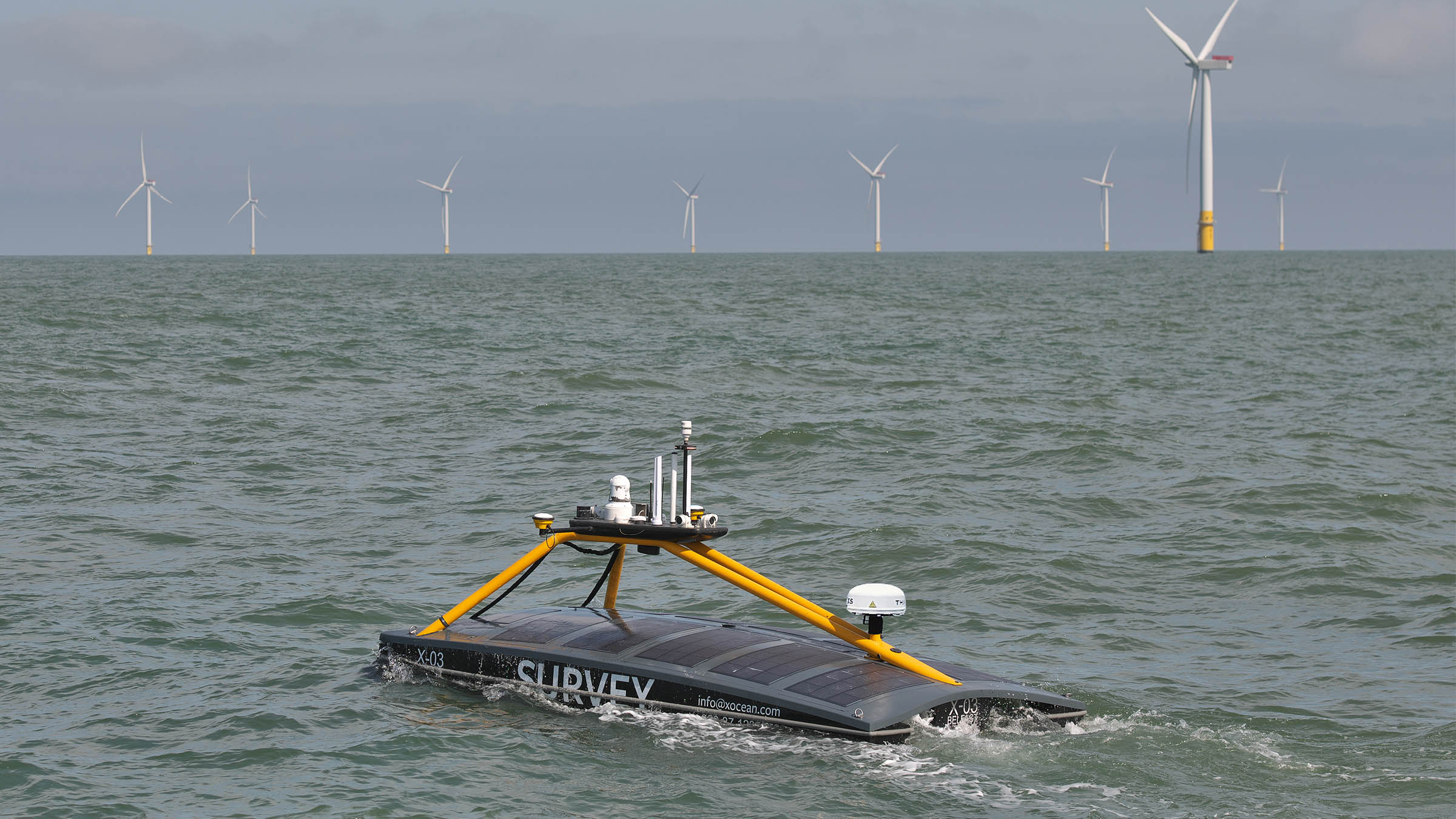
•USV or AUV – Remote data acquisition for safer, greener survey operations
•9,000 bps – Fast and robust communications performance
•6000 m – Working depth, perfect for deepwater operations
Similar to seabed deformation, seismic movement monitoring is important for your ocean science and energy operations. Measurement of tectonic plate movements can inform scientific research and alert energy operators to potential hazards.
Currents
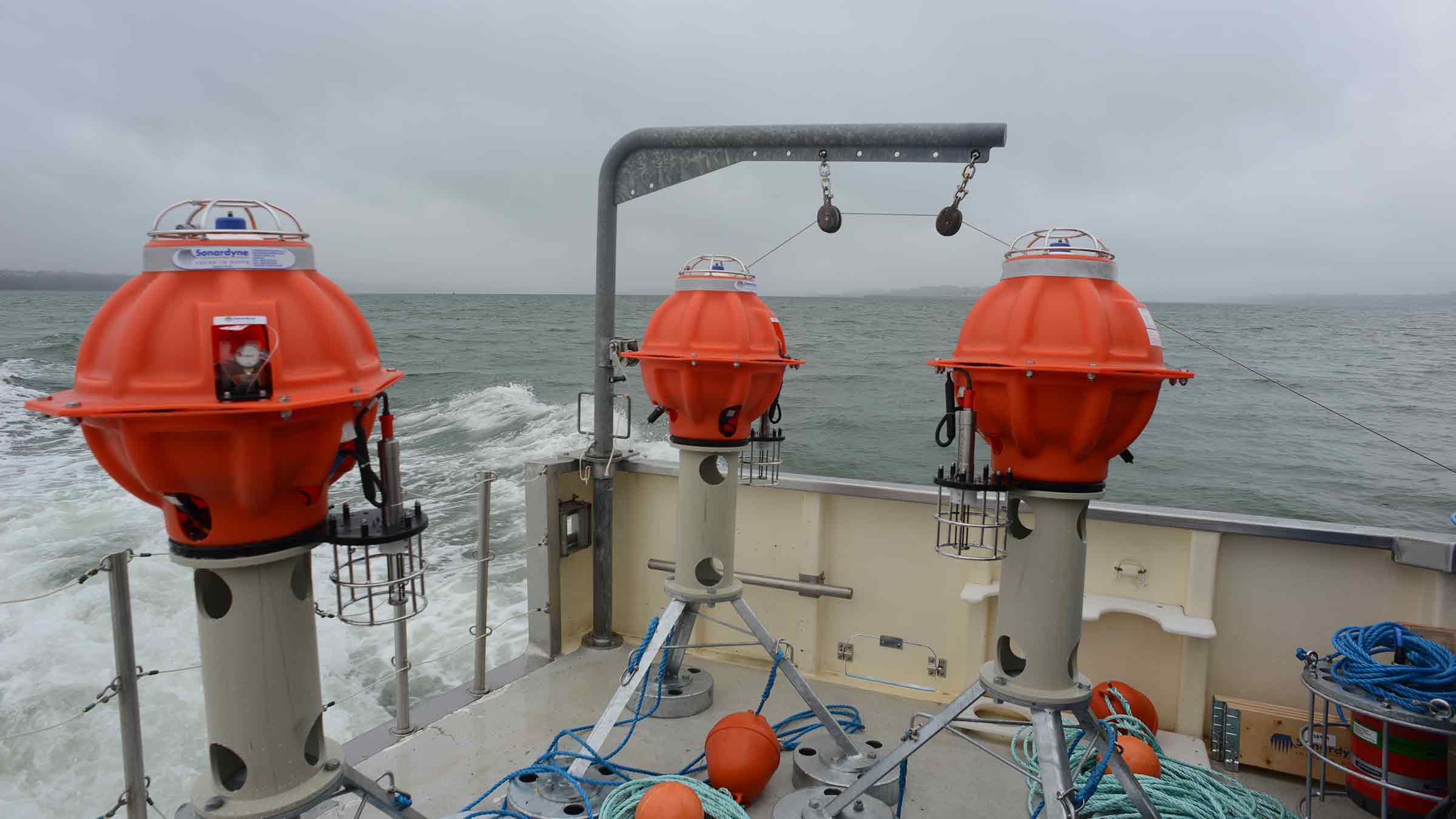
The water around your assets can affect their performance and longevity. Currents, temperature, turbidity and chemical composition can all play a part. Monitoring, whether short or long term, can inform your operational decision making. Developed using our decades of experience, our Origin acoustic doppler current profiler (ADCP) provides you with reliable, accurate and timely current and wave data. It’s built in acoustic modem gives easy access to data and rechargeable batteries give greater deployment lengths and quick turnaround redeployments.
During your operations, you can gather and transmit your logged data wirelessly, using our sixth generation (Sonardyne 6G®) acoustic communications platforms onboard unmanned surface vessel (USV) or autonomous underwater vehicle (AUV) platforms or from any crewed vessels using or Ranger 2 systems or Dunker 6 transceiver.
Structure and Pipeline
The water around your assets can affect their performance and longevity. Currents, temperature, turbidity and chemical composition can all play a part. Monitoring, whether short or long term, can inform your operational decision making. Developed using our decades of experience, our Origin acoustic doppler current profiler (ADCP) provides you with reliable, accurate and timely current and wave data. It’s built in acoustic modem gives easy access to data and rechargeable batteries give greater deployment lengths and quick turnaround redeployments.
During your operations, you can gather and transmit your logged data wirelessly, using our sixth generation (Sonardyne 6G®) acoustic communications platforms onboard unmanned surface vessel (USV) or autonomous underwater vehicle (AUV) platforms or from any crewed vessels using or Ranger 2 systems or Dunker 6 transceiver.
Fetch
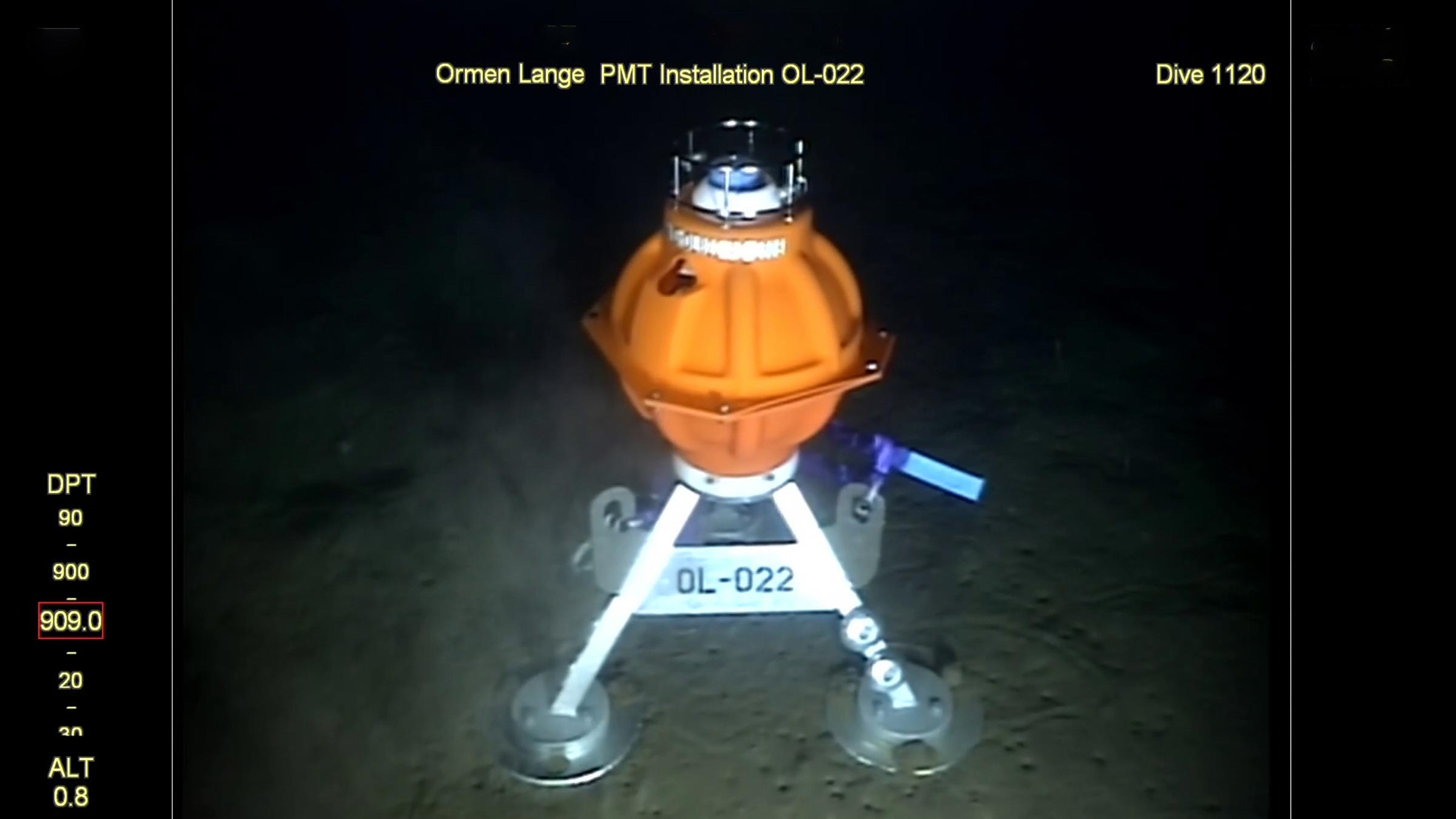
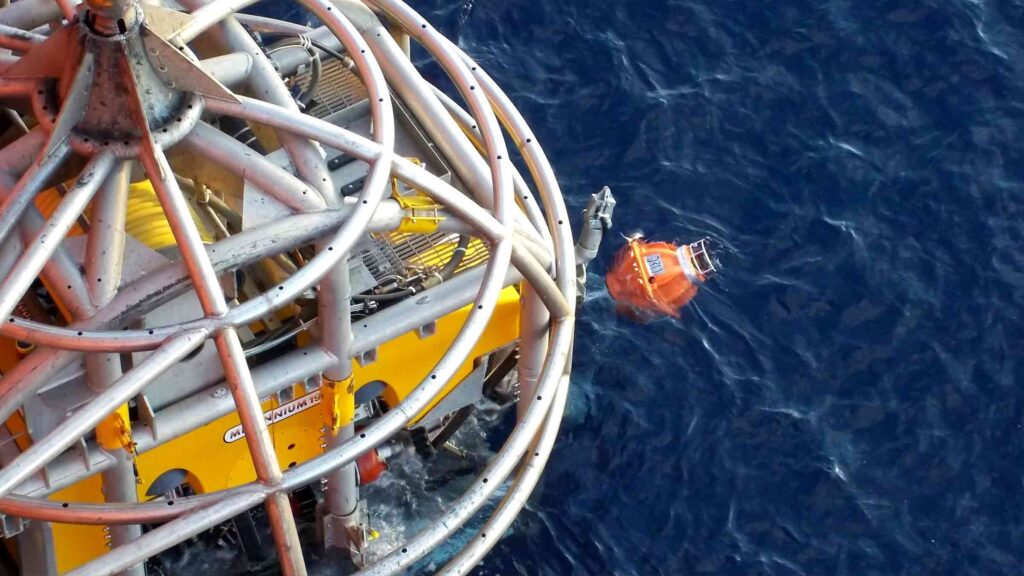
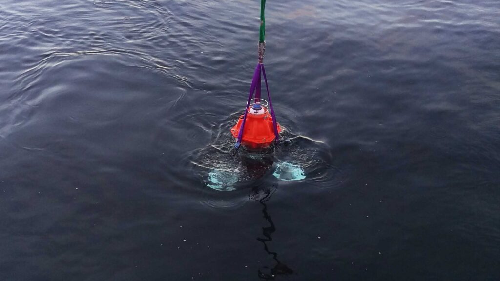
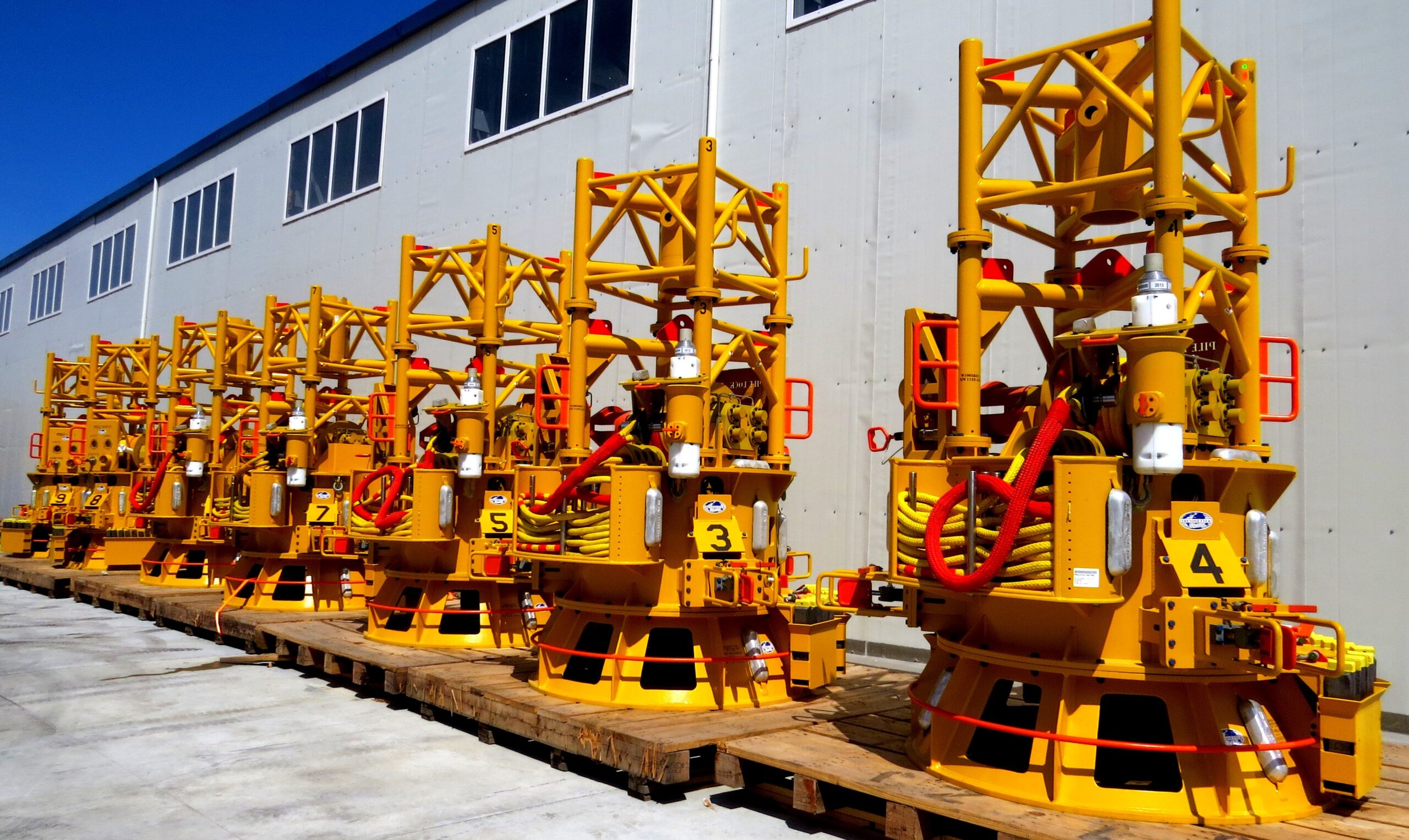
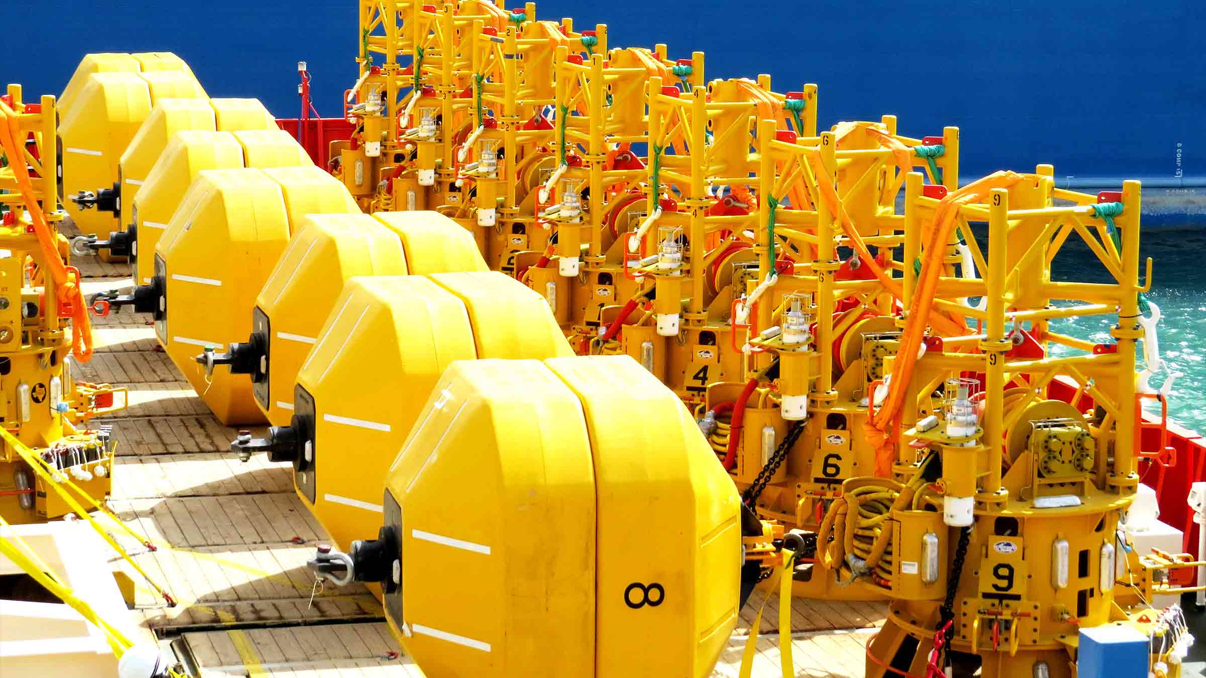
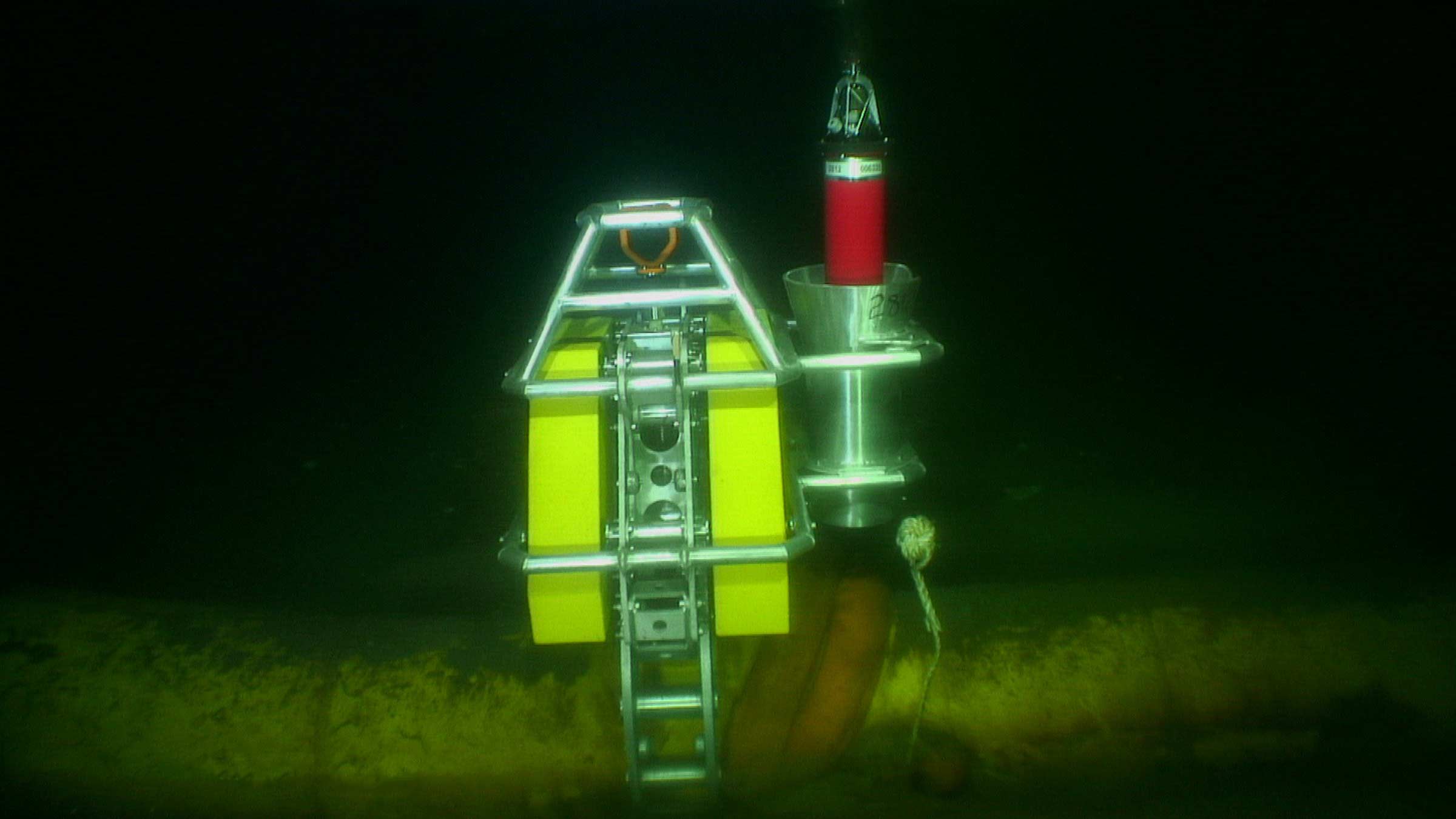
Fetch pressure monitoring transponder (PMT) instruments are subsea sensor logging nodes that measure long-duration seafloor movement, laterally and vertically. Fetch PMTs can take hundreds of thousands of highly precise, stable geodetic observations over long periods of time; safely log the data to internal memory; and, on command, wirelessly transmit it up to the surface.
With the addition of our in-situ pressure sensor calibration capability, Ambient-Zero-Ambient (AZA), we address the inherent drift that pressure sensors experience over time. That means your instruments can remain on the seabed, and generate accurate data, for up to 10 years – without any need for periodic retrieval for recalibration.
SMART – Asset monitoring and analysis transponder
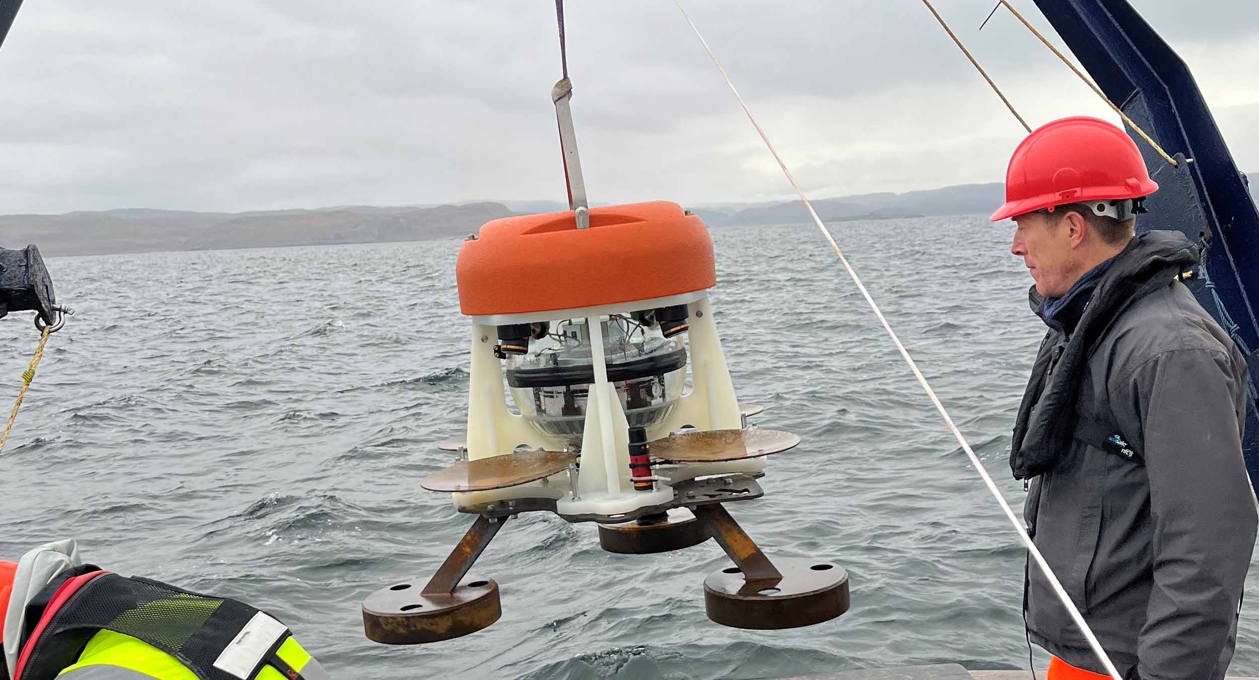
SMART brings together low power electronics, data logging, subsea data processing and acoustic telemetry into a single, easily deployed instrument that’s suitable for a wide range of long duration, remote monitoring campaigns across energy and scienc.
• Battery options to support campaigns in excess of 10 years
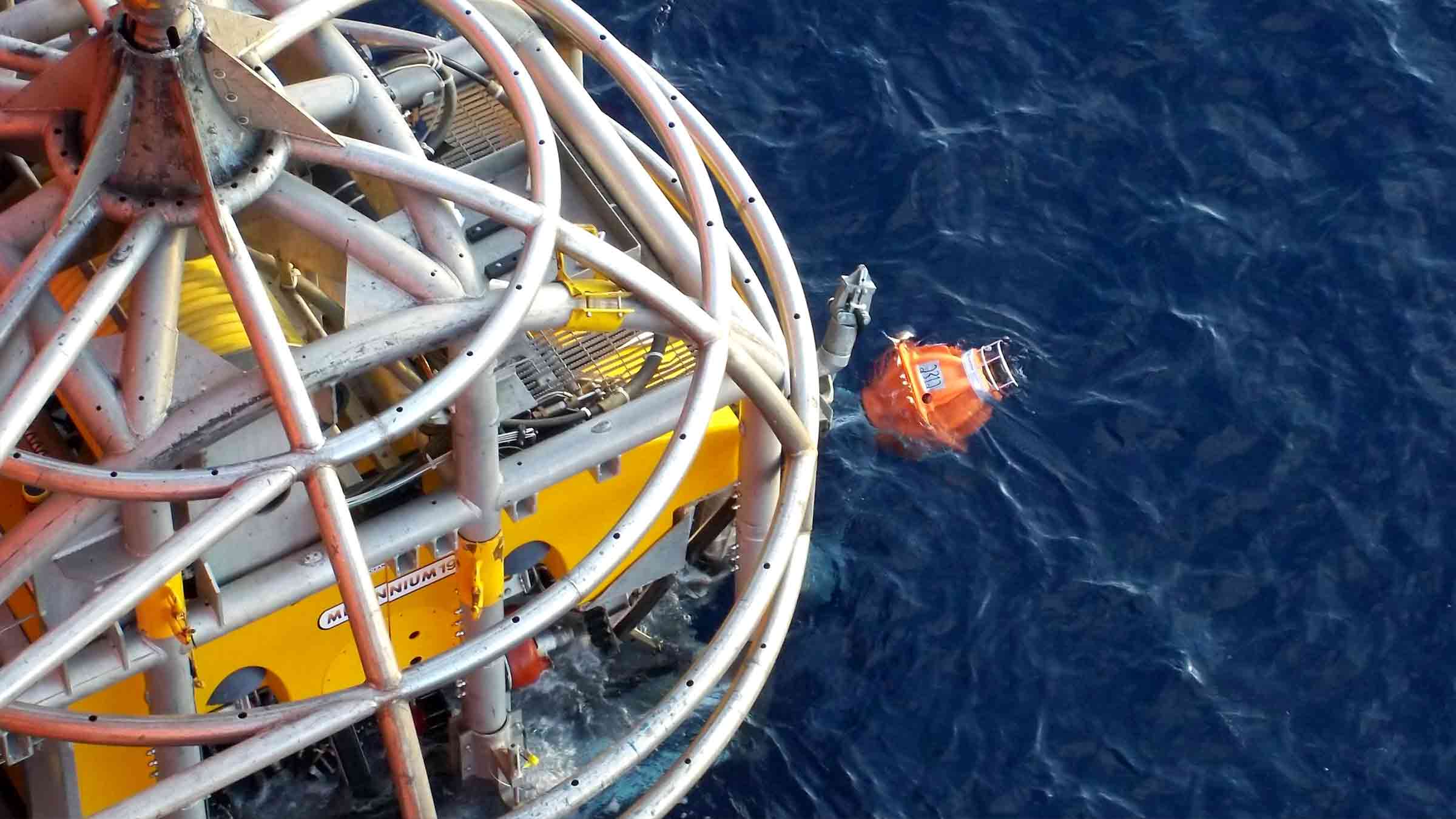
• Can be deployed and recovered using ROV
• 3,000 m standard depth rating; options for 7,000 m
• Onboard logging and processing of data; offloaded acoustically on demand
• Built on our low power 6G hardware platform and Wideband 2 digital signal architecture for reliable acoustic performance in noisy conditions
Origin ADCP
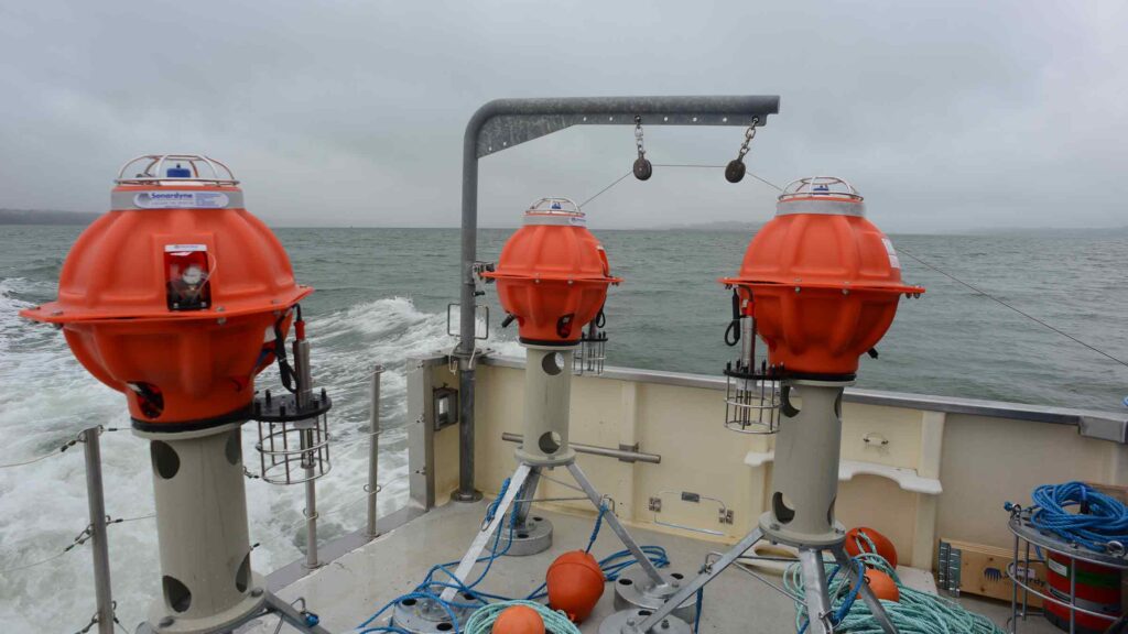
Our Origin family of ADCPs represent the latest in cutting edge underwater profiling technology. Able to analyse mean currents, waves and turbulence, and integrate with external sensors to provide pH levels, temperature and other data, Origin delivers comprehensive, reliable and timely data sets for your underwater operations.
With on-board Edge data processing and built-in acoustic modems, Origin can also process and deliver your data in almost real-time. Available in two models, Origin 65 for deep water profiling and Origin 600 for near and inshore waters, there is an Origin ADCP to suit your operation.
Acoustic Data Logger
Built on more than 30 years of successful installations, Acoustic Data Loggers provide you with the power to read multiple gauges at predefined intervals, securely store the received information within the unit, then transmit it acoustically through the water column to the surface on-demand.
Experience the power of seamless, long-term well monitoring with our cutting-edge Acoustic Data Logger. Unlock unparalleled insights, optimise your operations, and take your well management to new levels of efficiency and success. Introducing our state-of-the-art Acoustic Data Logger – the ultimate solution for reliable, long-term well monitoring.
Related case studies
Deepwater data analytics – asset monitoring at the edge
Read moreMeasuring Mount Etna – an underwater monitoring first
Read moreSubsidence monitoring at offshore oilfields
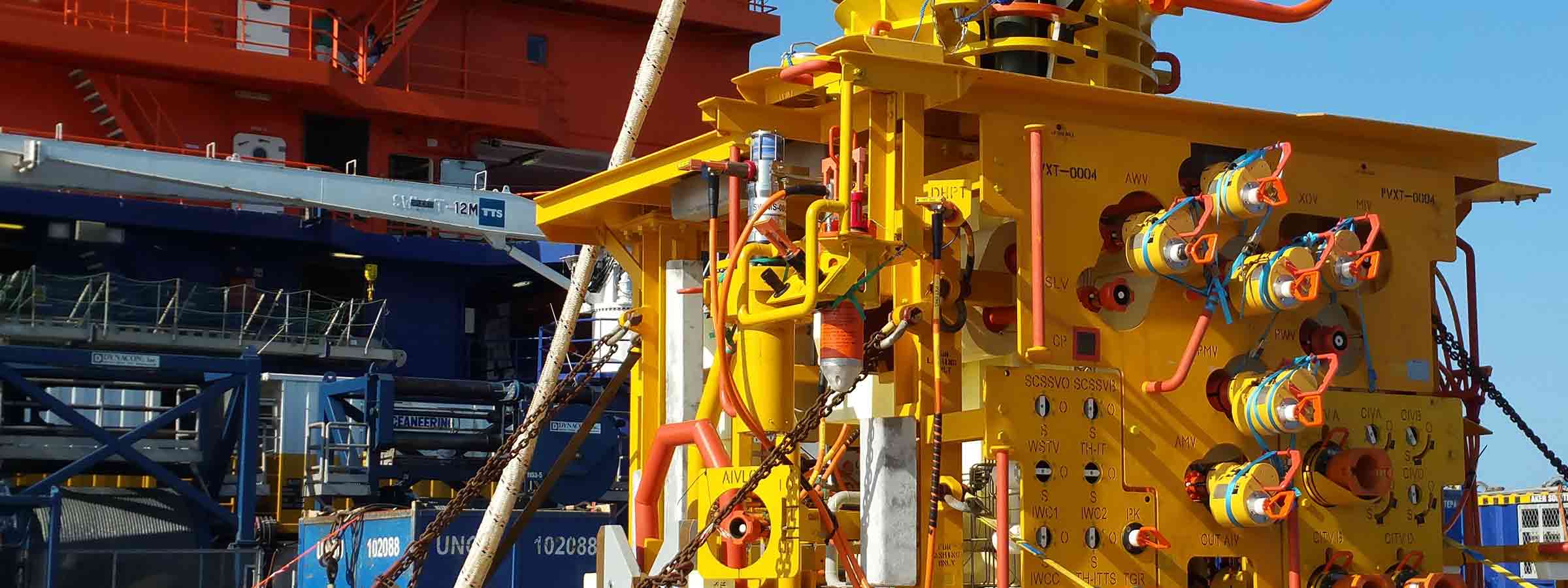
Read moreCovelya Group aim for a safer, more sustainable world through engineering excellence and innovation. Sonardyne are part of the Covelya Group, along with our sister companies. We are part of a group of technology companies, working in Science. Energy, Environment and Defence that develop, manufacture, sell and support instruments, systems and solutions worldwide.
