Search Sonardyne

Follow us

Monitoring the restless earth – plate tectonic motion

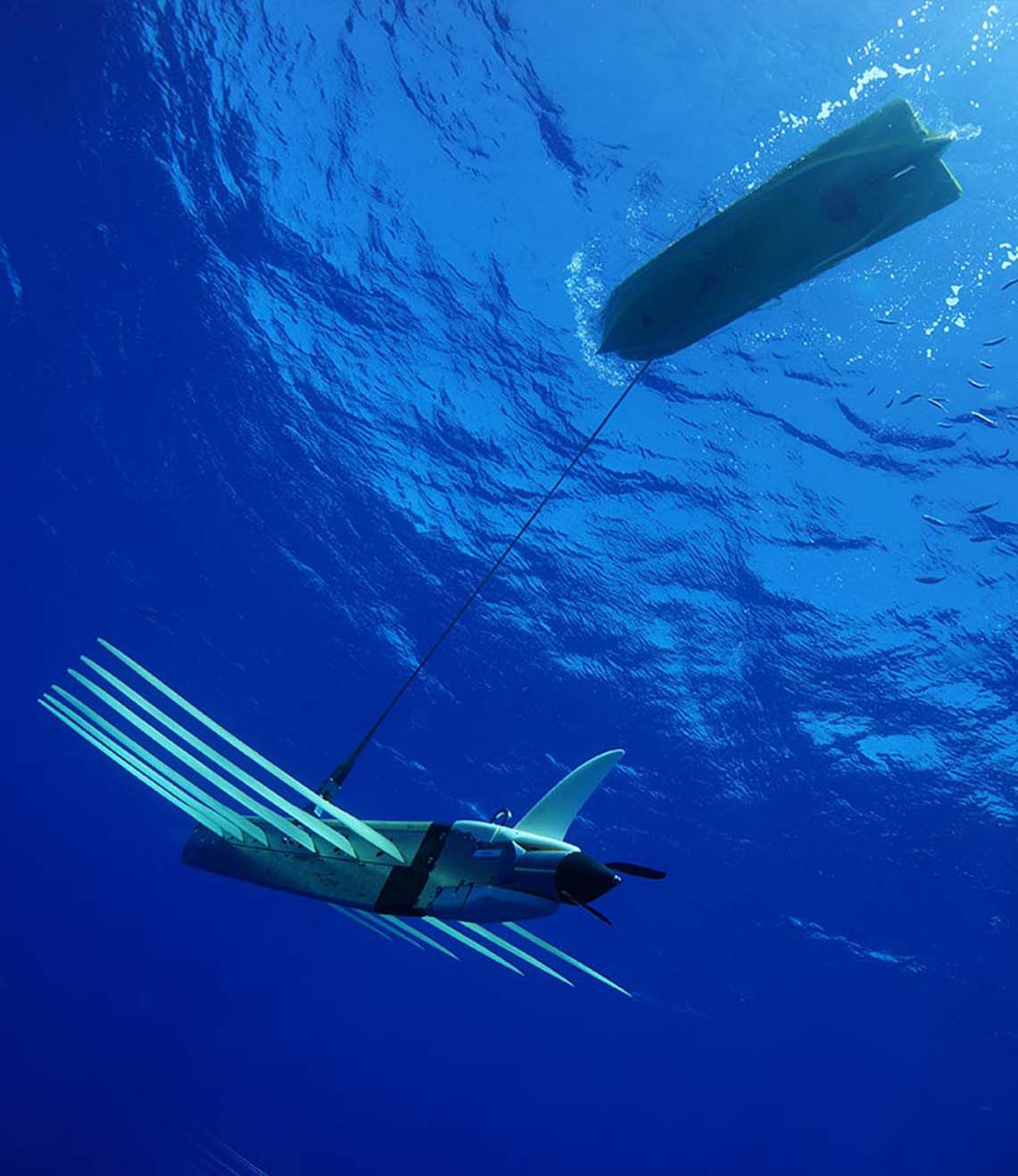
In his second blog on measuring the restless earth, Geraint West, Global Business Manager for Ocean Science, explained how Sonardyne technology is being used to measure underwater landslides down the sides of Mount Etna. In this, his third blog, in a three-part series, he explains how an emerging technique called GPS-Acoustic (GPS-A) is having a …
Sonardyne tests navigation systems for autonomous surface vehicles for UK MOD

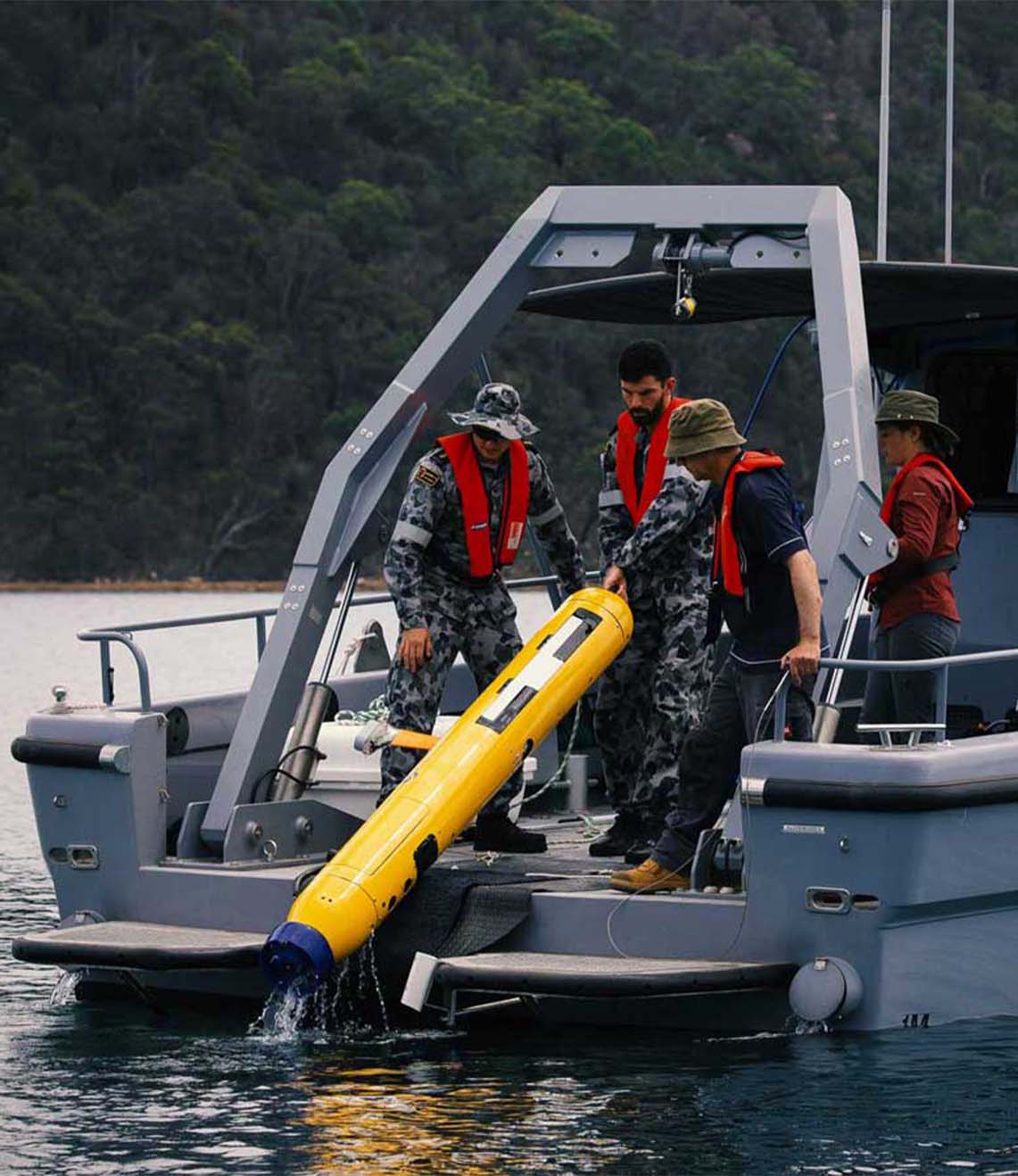
Marine robotics company, Sonardyne International Ltd. has demonstrated technologies that will aid autonomous vehicle operations in challenging environments under a project funded by the UK’s national Defence and Security Accelerator (DASA). Working with a 12 m-long SEA-KIT X class unmanned surface vehicle (USV), Sonardyne tested and validated sensors already used by unmanned underwater vehicles for …

A SLAM dunk for subsea survey

To do real-time SLAM, a new set of algorithms was developed using raw ranges from Compatt 6+ transponders in the SPRINT INS, which is in turn managed by Fusion 2, all in real-time. All you need is a ROVNav 6+ on your ROV, a SPRINT-Nav (or SPRINT INS and a DVL), and one Compatt 6+ …

Sonardyne Fusion 2 software update adds new capabilities for offshore survey and construction

Underwater positioning specialist Sonardyne International Ltd. has increased the capabilities of its Fusion 2 software package to enable surveyors and construction personnel to do even more, both on and offshore, with their existing hardware. This latest release of Fusion 2 unlocks new benefits, including a simplified surface box-in app and the ability to perform wireless …

Monitoring the restless earth – landslides on mount Etna

In his first blog on monitoring the restless earth, Geraint West, Global Business Manager for Ocean Science, explained how scientists are able to measure underwater ‘avalanches’, or oceanic turbidity currents using our Autonomous Monitoring Transponders (AMTs). In this second blog, of a three-part series, he explains how the same versatile instruments are being used to …

Sonardyne supports safer shipping with Vigilant Forward Looking Sonar

Maritime technology specialist Sonardyne International Ltd. has introduced a collision avoidance capability for naval, commercial, passenger and private vessels with its new Vigilant forward looking sonar (FLS). Providing live and past vessel track, detailed 3D bathymetry out to 600 m and automated warnings of unseen collision hazards on and beneath the waterline out to 1.5 …

Monitoring the restless earth – underwater

On land, rapid events like landslides and earthquakes are easily measured with satellite imagery, while precise measurement of much slower tectonic plate movements using space geodesy techniques have become routine. Unfortunately, neither of these techniques work underwater, which has meant that such measurements have stopped at the waterline – until now. In a three-part blog, …